The town is named after John Woodward Wyndham Jackson, who was a sawmiller at Channing (an area now within Jackson South) around 1887 and who later became the police magistrate at Mackay.[2][6][7][8]
Jackson Post Office opened by July 1908 (a receiving office had been open from 1887) and closed in 1988.[9]
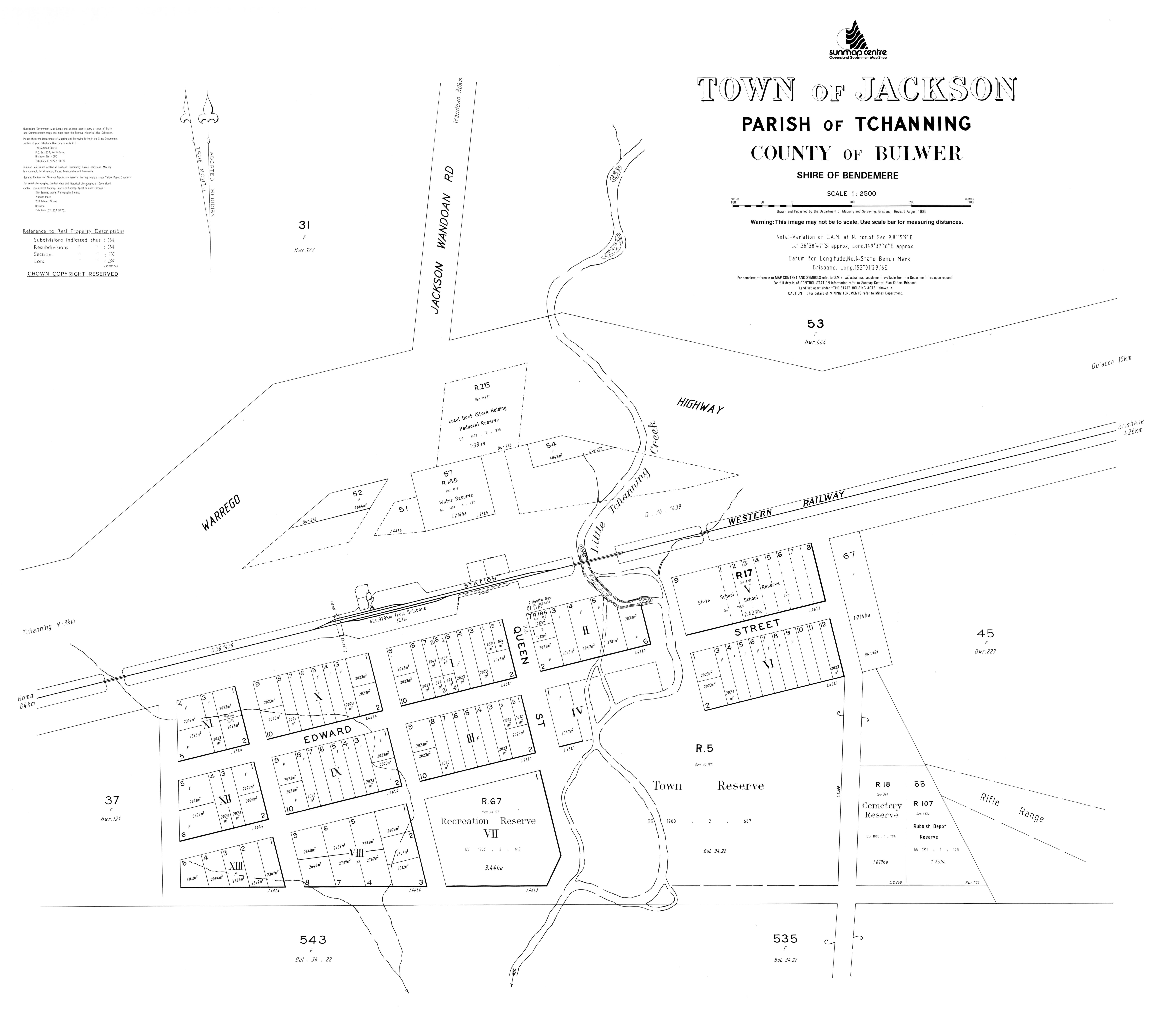
The Old Play Shed which houses Jackson's 'Tribute to Pioneers' display
In 2002, local resident Ella Robinson petitioned the former Bendemere Shire Council to have Jackson State School's play shed, built in 1908, relocated from the former school site (which had lain dormant since the School's closure in 1983) to the centre of town at the old railway station site to serve as a Intercity Bus Stop (ICBS) for passengers travelling on Greyhound Australia's long-distance coach services.[12] In 2012, numerous information panels were installed in the old play shed illustrating the town's history and paying tribute to the pioneers who helped establish the rural community.[12] A crowd of 120 attended a ceremony on 10 November 2012 to see then - Federal Member for Maranoa Bruce Scott officially unveil the new panels in what is now known as Jackson's "Tribute to Pioneers".[12] Tourism bodies now mention The Old Play Shed in promotional material as one of the interesting sights to see in Jackson.[13]
Demographics
In the 2006 census, the locality of Jackson had a population of 171 people.[14]
In the 2016 census, the locality of Jackson had a population of 57 people.[15]
In the 2021 census, the locality of Jackson had a population of 55 people.[1]
There are no schools in Jackson. The nearest government primary schools are in Dulacca and Yuleba. The nearest government secondary school is in Wallumbilla, but that school only provides education to Year 10. For Years 11 and 12, the nearest government secondary schools are in Miles and Roma.[19]
↑ "SKETCHER". The Queenslander. No.2455. Queensland, Australia. 4 April 1914. p.8. Archived from the original on 13 September 2021. Retrieved 2 November 2019– via National Library of Australia.
↑ "Current News". The Queenslander. Vol.XXXI, no.591. Queensland, Australia. 22 January 1887. p.125. Archived from the original on 21 June 2022. Retrieved 2 November 2019– via National Library of Australia.
↑ Premier Postal History. "Post Office List". Premier Postal Auctions. Archived from the original on 15 May 2014. Retrieved 10 May 2014.
This page is based on this Wikipedia article Text is available under the CC BY-SA 4.0 license; additional terms may apply. Images, videos and audio are available under their respective licenses.


