Amby Queensland | |||||||||||||||
---|---|---|---|---|---|---|---|---|---|---|---|---|---|---|---|
Sign located at the entrance to Amby | |||||||||||||||
Coordinates | 26°32′52″S148°11′14″E / 26.5477°S 148.1872°E | ||||||||||||||
Population | 86 (2016 census locality) [1] | ||||||||||||||
• Density | 0.4322/km2 (1.119/sq mi) | ||||||||||||||
Postcode(s) | 4462 | ||||||||||||||
Elevation | 340 m (1,115 ft) | ||||||||||||||
Area | 199.0 km2 (76.8 sq mi) | ||||||||||||||
Time zone | AEST (UTC+10:00) | ||||||||||||||
Location | |||||||||||||||
LGA(s) | Maranoa Region | ||||||||||||||
State electorate(s) | Warrego | ||||||||||||||
Federal Division(s) | Maranoa | ||||||||||||||
|
Amby is a rural town and locality in the Maranoa Region, Queensland, Australia. [2] [3] In the 2016 census the locality of Amby had a population of 86 people. [1]
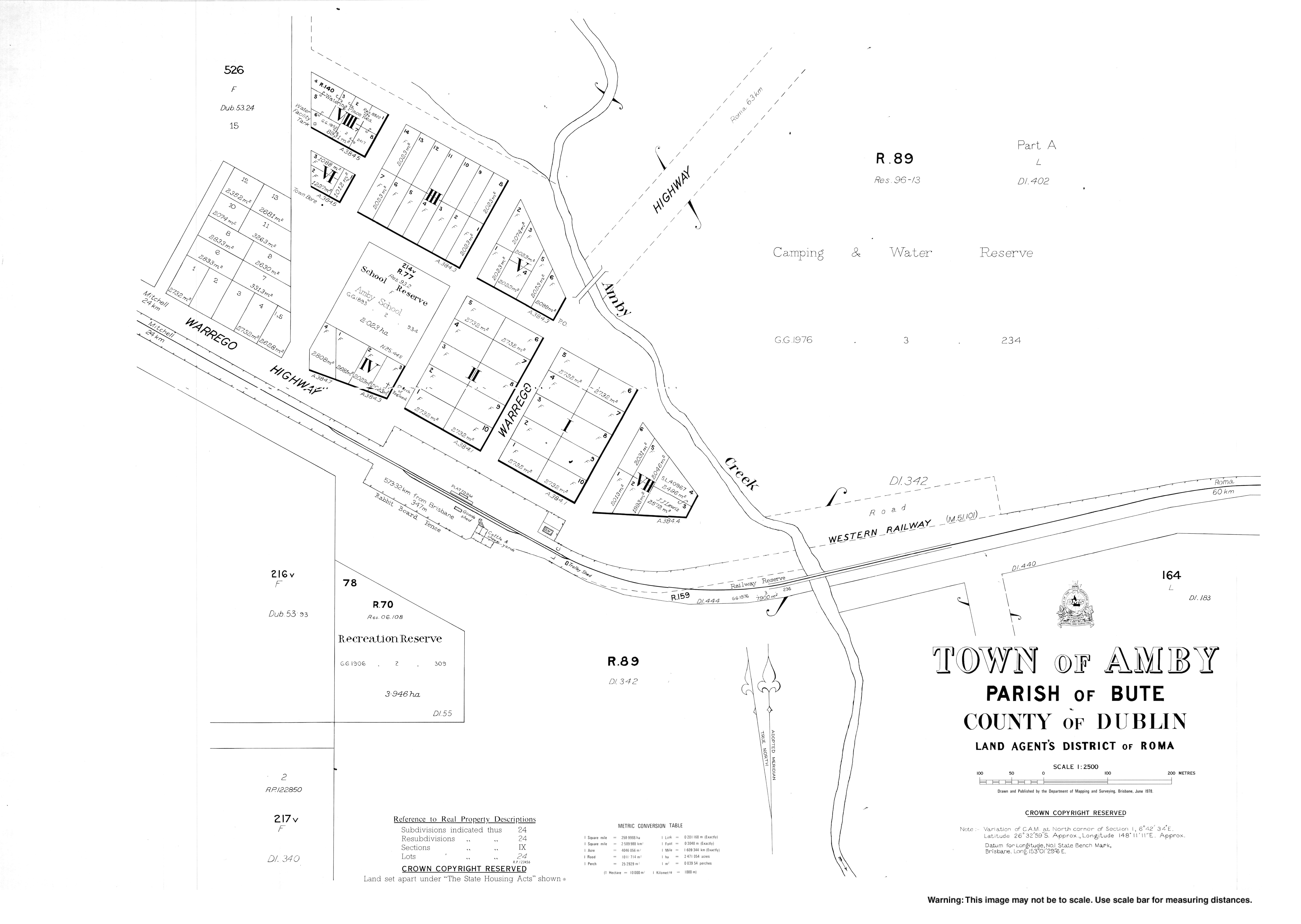
The town is roughly in the centre of the locality. Amby Creek flows through the location from north to south, passing immediately to the east of the town. Amby Creek is eventually a tributary of the Maranoa River. [4]
The Warrego Highway passes through the locality from east to west, passing through the main street of the town. The Western railway line also passes through the locality from east to west, with two railway stations in the locality:
Amby takes its name from the Amby Creek; Amby is possibly a word meaning "little girl" in Kogai dialect of Mandandanji language. [6]
The Amby Downs pastoral station is believed to have been established before 1860. [7]
A postal receiving office opened at Amby around 1883, and became a post office around 1900; it continues to operate out of the Amby Store. [8] [9]
Amby Provisional School opened on 26 February 1894 and became Amby State School in 1901. It closed on 19 September 1997. [10] [11]
Freeman's Waterhole Provisional School opened on 8 March 1920. In 1923 it was renamed Hampstead Provisional School. It closed on 30 May 1930. [11]
In the 2011 census, Amby had a population of 139 people. [12]
In the 2016 census the locality of Amby had a population of 86 people. [1]
There are a number of homesteads in the locality: [13]
Roma is a town, locality and the administrative centre in the Maranoa Region, Queensland, Australia. The town was incorporated in 1867 and is named after Lady Diamantina Bowen, the wife of Sir George Bowen, the Governor of Queensland at the time. At the 2016 census, Roma had a population of 6,848.
Injune is a rural town and locality in the Maranoa Region, Queensland, Australia. In the 2016 census, Injune had a population of 461 people.
Mitchell is a town and locality in the Western Downs district of the Maranoa Region, Queensland, Australia. The town services the local area, a cattle and sheep farming district. In the 2016 census, Mitchell had a population of 1031 people.
Thallon is a town and a locality in the Shire of Balonne, Queensland, Australia. In the 2016 census, Thallon had a population of 257 people.
Thangool is a rural town and locality in the Shire of Banana, Queensland, Australia. In the 2016 census the locality of Thangool had a population of 741 people.
Maranoa Region is a local government area in South West Queensland, Australia. The town of Roma is the administrative headquarters of the region.
Glenmorgan is a town in the Western Downs Region and a locality split between the Western Downs Region and the Maranoa Region, Queensland, Australia.
Mungallala is a town and a locality in the Maranoa Region, Queensland, Australia. In the 2016 census, Mungallala had a population of 136 people.
Dalveen is a town and a locality in the Southern Downs Region, Queensland, Australia. It borders New South Wales. In the 2016 census, Dalveen had a population of 335 people.
Bungeworgorai is a rural locality in the Maranoa Region, Queensland, Australia. In the 2016 census, Bungeworgorai had a population of 78 people.
Teelba is a rural locality in the Maranoa Region, Queensland, Australia. In the 2016 census Teelba had a population of 44 people.
Euthulla is a rural locality in the Maranoa Region, Queensland, Australia. In the 2016 census, Euthulla had a population of 370 people.
Gunnewin is a rural locality in the Maranoa Region, Queensland, Australia. In the 2016 census Gunnewin had a population of 59 people.
Ward is a rural locality in the Shire of Murweh, Queensland, Australia. In the 2016 census Ward had a population of 74 people.
Eurella is a rural locality in the Maranoa Region, Queensland, Australia. In the 2016 census, Eurella had a population of 11 people.
Dalwogon is a rural locality in the Western Downs Region, Queensland, Australia. In the 2016 census, Dalwogon had a population of 31 people.
Mount Howe is a rural locality in the Maranoa Region, Queensland, Australia. In the 2016 census Mount Howe had a population of 3 people.
Kilmorey Falls is a rural locality in the Maranoa Region, Queensland, Australia. In the 2016 census Kilmorey Falls had a population of 0 people.
Mount Bindango is a rural locality in the Maranoa Region, Queensland, Australia. In the 2016 census Mount Bindango had a population of 33 people.
Wikimedia Commons has media related to Amby, Queensland . |