This article has multiple issues. Please help improve it or discuss these issues on the talk page . (Learn how and when to remove these messages)
|
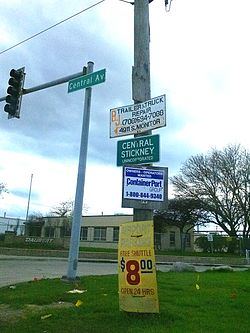
Central Stickney, Illinois | |
|---|---|
 Boundary of Central Stickney, Illinois, just southwest of Chicago | |
 Central Stickney, Illinois | |
| Coordinates: 41°48′26″N87°45′45″W / 41.8073°N 87.7626°W | |
| Country | United States |
| State | Illinois |
| County | Cook |
| Township | Stickney |
| Elevation | 722 ft (220 m) |
| Time zone | UTC-6 (Central (CST)) |
| • Summer (DST) | UTC-5 (CDT) |
| ZIP code | 60638 (Chicago) |
| Area code | 708 |
Central Stickney is an unincorporated community in Stickney Township, Cook County, Illinois, a half mile north of Midway International Airport. It consists of the areas around Central Avenue, between I-55 to the north and 51st Street, its southern boundary; east of Central, the northern boundary is roughly drawn between 47th and 48th Streets. It is bordered by the village of Forest View to the north and the Chicago community of Garfield Ridge to the south and east. The area consists of a residential neighborhood of approximately 150 acres to the east of Central Avenue and a business park to the west, as well as several small businesses along Central. It is served by the Central Stickney Fire Protection District and the Central Stickney Park District. Central Stickney has been trying to incorporate for many years, but faces possible annexation to the City of Chicago.

