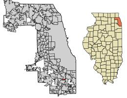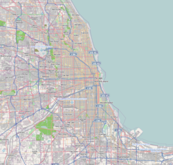
Bellwood is a village in Proviso Township, Cook County, Illinois, United States. Located 13 miles (21 km) west of Chicago's downtown Loop, the Village of Bellwood is bounded by the Eisenhower Expressway (south), the Proviso yards of the former Chicago & Northwestern, now Union Pacific Railroad (north), and the suburbs of Maywood (east) and Hillside and Berkeley (west). The population was 18,789 at the 2020 census.

Berkeley is a village in Cook County, Illinois, United States. Incorporated in 1924, the population at the 2020 census was 5,338.

Calumet Park is a village in Cook County, Illinois, United States. The population was 7,025 at the 2020 census. It is a suburb of Chicago.

Country Club Hills is a city in Cook County, Illinois, United States. It is a suburb south of Chicago. The population was 16,775 at the 2020 census.
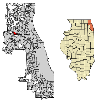
Deer Park is a village in Lake and Cook Counties, Illinois. Per the 2020 census, the population was 3,681. The village is one of the few left in the Chicago area that enjoy a green belt which is bordered by two large natural areas providing outdoor recreation and open space. The village is home to popular shopping and dining destinations: Deer Park Town Center and the Town Center Promenade. The town is also home to the Vehe Farm, an Illinois Centennial Farm.

Dixmoor is a village in Cook County, Illinois, United States, and a south suburb of Chicago. The population was 2,973 at the 2020 census. Dixmoor is adjacent to Harvey to the south and east, Posen to the west, and Blue Island and Riverdale to the north. Interstate 57 also runs through the village.
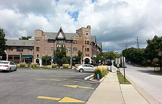
Flossmoor is a village in Cook County, Illinois, United States. The population was 9,704 at the 2020 census. Flossmoor is approximately 24 miles (39 km) south of the Chicago Loop. It is closely tied to neighboring Homewood, sharing a high school and park district.

Forest View is a village in Cook County, Illinois, United States. Per the 2020 census, the population was 792. It is primarily an industrial corridor adjacent to the Chicago neighborhood of Garfield Ridge, which is on the village's southern border.

Glenwood is a village in Cook County, Illinois, United States. The population was 8,662 at the 2020 census.

Hanover Park is a village in Cook and DuPage counties in the U.S. state of Illinois. A suburb of Chicago, the population was 37,470 at the 2020 census. Ontarioville is a neighborhood within the village.
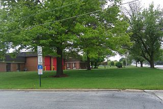
Hazel Crest is a village in Cook County, Illinois, United States. The population was 13,382 at the 2020 census. It is a suburb of Chicago.

Homewood is a village in Cook County, Illinois, United States. The population was 19,463 at the 2020 census.
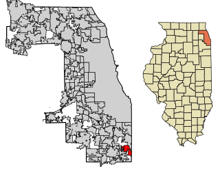
Lynwood is a village in Cook County, Illinois, United States, and a suburb of Chicago. The population was 9,116 at the 2020 census.

Olympia Fields is a village in Cook County, Illinois, United States. The population was 4,718 as of the 2020 census. It is a southern suburb of Chicago. The municipality grew up around the prestigious Olympia Fields Country Club, originally established in 1915.

Palos Park is a village in southwestern Cook County, Illinois, United States. Per the 2020 census, the population was 4,899.

Richton Park is a village and south suburb of Chicago in Cook County, Illinois, United States. The population was 12,775 at the 2020 census.

Schiller Park is a village in Leyden Township, Cook County, Illinois, United States. The population was 11,709 at the 2020 census.

South Holland is a village and south suburb of Chicago in Cook County, Illinois, United States, within Thornton Township. The population was 21,465 at the 2020 census. It is named after the Dutch province of South Holland.

University Park is a village in Will County with a small portion in Cook County in the U.S. state of Illinois. It is a south suburb of Chicago. The village is one of the region's few planned communities; it was developed in the 1960s as Wood Hill, then Park Forest South, and finally University Park. Governors State University was established in the village in 1969. The village population was 7,145 at the 2020 census.

Worth is a village in Cook County, Illinois, United States, a suburb of Chicago. Per the 2020 census, the population was 10,970.
