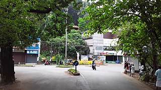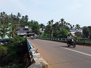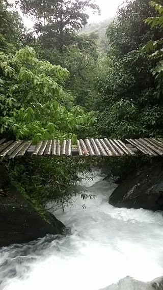
Taliparamba is a Municipality in Taliparamba taluk of Kannur district, Kerala, India. The municipal town spreads over an area of 18.96 square kilometres (7.32 sq mi) and is inhabited by 44,247 number of people.
Padiyoor is a small town in Kannur district of Kerala state, India. Padiyoor village is part of Padiyoor-Kalliad Grama Panchayat in Iritty taluk.

Irikkur is a town and grama panchayat in Kannur District of Kerala state, India.

Peravoor is a town and Grama Panchayat in Kannur district of Kerala state in India. It is located 50 km (31 mi) east of Kannur and 40 km (25 mi) north east of Thalassery. And Iritty, the nearest municipality is 14 km (8.7 mi) north of Peravoor. Peravoor is situated in the Western Ghats mountain range.
Pariyaram is a Grama Panchayat consisting of two villages viz. Pariyaram census town and Kuttiyeri village. Pariyaram is a suburb of Taliparamba on National Highway between Taliparamba and Payyanur in Kerala state of India. Mini villages of Thiruvattoor, Koran Peedika, Mukkunnu & Chithappile Poyil are parts of Pariyaram.

Ulikkal is a growing town in Kannur District in Kerala. It is the HQ of Ulikkal Grama Panchayat in Iritty Taluk. Kerala State Hill highway SH 59 passes through Ulikkal Town.

Sreekandapuram is a municipality in Kannur district, in the Indian state of Kerala.

Naduvil is a small town in Kannur district in the Indian State of Kerala. The town is the headquarters of Naduvil Grama panchayat.

Cherupuzha is a town in Kannur district, Kerala, India. It is the headquarters of the Cherupuzha Panchayat which is a special grade panchayat in Kerala.

Chemperi is a town on the bank of the Chemperi River, in the Western Ghat, in the Kannur district of South India. It is characterized by its production and export of rubber and spices, its beautiful hillocks, and its serene streams. Village and Panchayath of Chemperi is Eruvessi. Both Panchayath and Village offices of Eruvessi are located in Chemperi. Also Lourde Matha Forane Church, Chemperi is another attraction. Paithalmala and Palakkayam Thattu is also a few kilometres away.

Alakode is an emerging town and a panchayat in Kannur district in the Indian state of Kerala. It is located 46 km (29 mi) north of district headquarters Kannur. Alakode is located on Taliparamba-Manakadavu-Coorg Road. Alakode was one of the major centers of Malabar Migration.

Aralam is a village and Grama Panchayat in Kannur district in the Indian state of Kerala.

Kanichar is a village and Grama Panchayat in Kannur district in the Indian state of Kerala.

Kurumathur is a census town in Taliparamba taluk of Kannur district in Kerala state, India. Kurumathur is located 8 km (5.0 mi) east of Taliparamba town in SH 36.

Payyavoor is a small town in Kannur district in the Indian state of Kerala. It's the headquarters of Payyavoor Grama Panchayat.
Vellad is a large village in Kannur district in the Indian state of Kerala.
Karthikapuram is a small town in Kannur district in the Indian state of Kerala.

Chapparapadavu is a Grama panchayat in Kannur district in the Indian state of Kerala. Chapparapadavu Panchayat have administration over the villages of Kooveri, Thimiri and Vellad.
Kolachery is a census town and Grama Panchayat in Kannur District of Kerala state, India. Kolachery is located 15 kilometres (9.3 mi) north east of Kannur city.
Payam is a village and Grama Panchayat in Iritty taluk of Kannur district in Indian state of Kerala.


