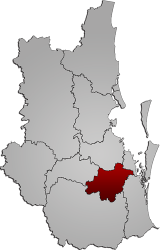
The City of Logan is a local government area (LGA) located in the south of Greater Brisbane in South East Queensland (SEQ), Australia. Situated between the City of Brisbane to the north and the City of Gold Coast to the south, the City of Logan also borders the Scenic Rim Region, the City of Ipswich, and Redland City LGAs. Logan is divided into 70 suburbs and 12 divisions; a councillor is elected to each of the latter. The council had a population of 326,615 as of June 2018.

Beenleigh is a town and suburb in the City of Logan, Queensland, Australia. In the 2021 census, the suburb of Beenleigh had a population of 8,425 people.

Bethania is a suburb in the City of Logan, Queensland, Australia. In the 2021 census, Bethania had a population of 6,333 people.

Kuraby is an outer southern suburb in the City of Brisbane, Queensland, Australia. In the 2021 census, Kuraby had a population of 8,737 people.

Cornubia is a suburb in the City of Logan, Queensland, Australia. In the 2021 census, Cornubia had a population of 7,810 people.

Berrinba is a suburb in Logan City, Queensland, Australia. In the 2021 census, Berrinba had a population of 2,615 people.

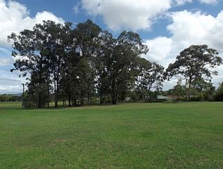
Hillcrest is a western suburb in the City of Logan, Queensland, Australia. In the 2021 census, Hillcrest had a population of 6,268 people.
Loganlea is a suburb in the City of Logan, Queensland, Australia. In the 2021 census, Loganlea had a population of 8,716 people.

Meadowbrook is a mixed-use suburb in the City of Logan, Queensland, Australia. The Logan Hospital and a TAFE college are located in the suburb. In the 2021 census, Meadowbrook had a population of 3,069 people.

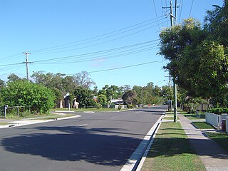
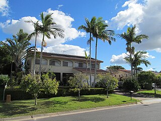
Shailer Park is a suburb in the City of Logan, Queensland, Australia. In the 2021 census, Shailer Park had a population of 12,182 people.

Tanah Merah is a residential suburb in the City of Logan, Queensland, Australia. It was officially named by the Queensland Place Names Board in 1971. In the 2021 census, Tanah Merah had a population of 4,754 people.

Underwood is a suburb in the City of Logan, Queensland, Australia. In the 2021 census, Underwood had a population of 6,809 people.
Eagleby is a suburb in the City of Logan, Queensland, Australia. In the 2021 census, Eagleby had a population of 13,594 people.

Edens Landing is a suburb in the City of Logan, Queensland, Australia. In the 2021 census, Edens Landing had a population of 5,094 people.

Bahrs Scrub is an urban locality in the City of Logan, Queensland, Australia. In the 2021 census, Bahrs Scrub had a population of 4,508 people.

Windaroo is a residential suburb in the outer southern areas of the City of Logan, Queensland, Australia. In the 2021 census, Windaroo had a population of 2,771 people.
Mount Warren Park is a residential suburb in the outer eastern area of the City of Logan, Queensland, Australia. The mountain of Mount Warren is within the suburb.

Waterford is a town and suburb in the City of Logan, Queensland, Australia. In the 2021 census, the suburb of Waterford had a population of 5,796 people.
Holmview is a residential suburb in the City of Logan, Queensland, Australia. In the 2021 census, Holmview had a population of 4,455 people.

Stapylton is a mixed-use locality in the City of Gold Coast, Queensland, Australia. In the 2021 census, Stapylton had a population of 430 people.


