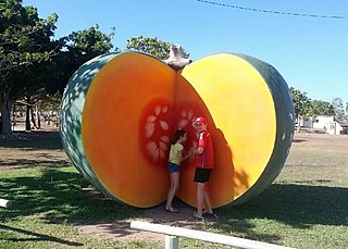
Gumlu is a town and coastal locality in the Whitsunday Region, Queensland, Australia. In the 2021 census, the locality of Gumlu had a population of 124 people.
England Creek is a rural locality split between Somerset Region and City of Brisbane, Queensland, Australia. In the 2021 census, England Creek had a population of 39 people.

Winwill is a rural locality in the Lockyer Valley Region, Queensland, Australia. In the 2021 census, Winwill had a population of 144 people.
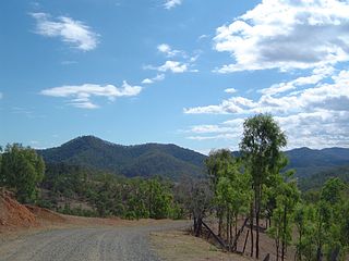
Mount Wyatt is a mountain and rural locality in the Whitsunday Region, Queensland, Australia. In the 2021 census, Mount Wyatt had a population of 34 people.
Lagoon Pocket is a rural locality in the Gympie Region, Queensland, Australia. In the 2021 census, Lagoon Pocket had a population of 170 people.
Mount Marlow is a rural locality in the Whitsunday Region, Queensland, Australia. In the 2021 census, Mount Marlow had a population of 161 people.
Hamilton Plains is a rural locality in the Whitsunday Region, Queensland, Australia. In the 2021 census, Hamilton Plains had a population of 80 people.
Mandalay is a coastal locality in the Whitsunday Region, Queensland, Australia. In the 2021 census, Mandalay had a population of 338 people.
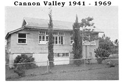
Cannon Valley is a semi-rural locality in the Whitsunday Region, Queensland, Australia. In the 2021 census, Cannon Valley had a population of 1,131 people.
Goorganga Plains is a coastal locality in the Whitsunday Region, Queensland, Australia. In the 2021 census, Goorganga Plains had "no people or a very low population".
Wilson Beach is a coastal locality in the Whitsunday Region, Queensland, Australia. In the 2021 census, Wilson Beach had a population of 68 people.

Dingo Beach is a coastal rural locality in the Whitsunday Region, Queensland, Australia. In the 2021 census, Dingo Beach had a population of 159 people.
Trotter Creek is a rural locality in the Rockhampton Region, Queensland, Australia. In the 2021 census, Trotter Creek had a population of 12 people.
Bogie is a rural locality in the Whitsunday Region, Queensland, Australia. In the 2021 census, Bogie had a population of 207 people.
Mount Pluto is a rural locality in the Whitsunday Region, Queensland, Australia. In the 2021 census, Mount Pluto had "no people or a very low population".
Brandy Creek is a rural locality in the Whitsunday Region, Queensland, Australia. In the 2021 census, Brandy Creek had a population of 114 people.
Mount Julian is a rural locality in the Whitsunday Region, Queensland, Australia. In the 2021 census, Mount Julian had a population of 477 people.
Thoopara is a rural locality in the Whitsunday Region, Queensland, Australia. In the 2021 census, Thoopara had a population of 52 people.
Silver Creek is a rural locality in the Whitsunday Region, Queensland, Australia. In the 2021 census, Silver Creek had a population of 18 people.
Kalunga is a rural locality in the Tablelands Region, Queensland, Australia. In the 2021 census, Kalunga had a population of 103 people.
