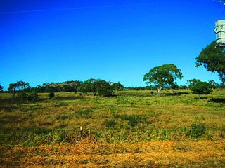
Dysart is a town and a locality in the Isaac Region, Queensland, Australia. It is a service centre for mines and grazing properties in the district. At the 2021 census, the locality had a population of 2,918. Most residents are employed by the coal mines.

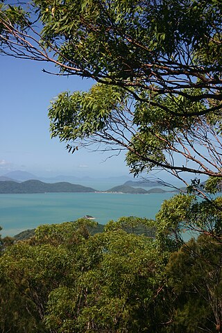
Paluma is a town in the City of Townsville and a locality split between the City of Townsville and the Charters Towers Region in Queensland, Australia. In the 2016 census, the locality of Paluma had a population of 68 people.
The Suttor River is a river in Central Queensland, Australia. The Belyando River is its main tributary. The river has its origins in the Leichhardt Range, north west of Glenden. It flows into Lake Dalrymple, becoming a tributary of the Burdekin River.

Cape Cleveland is a rural locality in the City of Townsville, Queensland, Australia. In the 2016 census Cape Cleveland had a population of 155 people.

Springlands is a rural locality in the Whitsunday Region, Queensland, Australia.

Abergowrie is a rural town and locality in the Shire of Hinchinbrook, Queensland, Australia. In the 2016 census, Abergowrie had a population of 438 people.
Undullah is a rural locality split between the City of Logan and the Scenic Rim Region, Queensland, Australia. In the 2016 census, Undullah had a population of 45 people.
Mount Wyatt is a mountain and rural locality in the Whitsunday Region, Queensland, Australia. In the 2016 census Mount Wyatt had a population of 51 people.
Majors Creek is a locality split between the City of Townsville and the Shire of Burdekin, Queensland, Australia. In the 2016 census, Majors Creek had a population of 329 people.
Ramsay is a rural locality in the Toowoomba Region, Queensland, Australia. In the 2016 census Ramsay had a population of 348 people.
Upper Warrego is a rural locality in the Shire of Murweh, Queensland, Australia. In the 2016 census Upper Warrego had a population of 0 people.

Guthalungra is a rural town and coastal locality in the Whitsunday Region, Queensland, Australia. In the 2016 census, the locality of Guthalungra had a population of 112 people.
Mount Marlow is a rural locality in the Whitsunday Region, Queensland, Australia. In the 2016 census Mount Marlow had a population of 132 people.

Mount Rooper is a coastal locality in the Whitsunday Region, Queensland, Australia. In the 2016 census, Mount Rooper had no population.
Burnett Creek is a rural locality in the Scenic Rim Region, Queensland, Australia. In the 2016 census, Burnett Creek had a population of 11 people. It borders New South Wales to the south.
Minerva is a rural locality in the Central Highlands Region, Queensland, Australia. At the 2021 census, Minerva had a population of 55 people.
Mantuan Downs is a rural locality in the Central Highlands Region, Queensland, Australia. In the 2016 census Mantuan Downs had a population of 31 people.
Laglan is a rural locality in the Isaac Region, Queensland, Australia. In the 2016 census Laglan had a population of 3 people, but its boundaries have subsequently changed.

Gemini Mountains is a rural locality in the Isaac Region, Queensland, Australia. At the 2021 census, Gemini Mountains had a population of 65 people.

Hawkins Creek is a rural locality in the Shire of Hinchinbrook, Queensland, Australia. In the 2016 census, Hawkins Creek had a population of 216 people.


