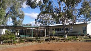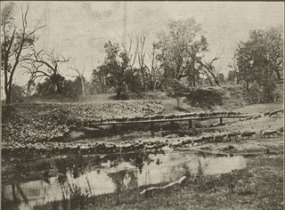
Surat is a rural town and locality in the Maranoa Region, Queensland, Australia. In the 2021 census, the locality of Surat had a population of 402 people.

Wallumbilla is a rural town and locality in the Maranoa Region, Queensland, Australia. In the 2016 census, the locality of Wallumbilla had a population of 388 people, with 191 people living in the town itself.

Thallon is a town and a locality in the Shire of Balonne, Queensland, Australia. In the 2021 census, the locality of Thallon had a population of 231 people.

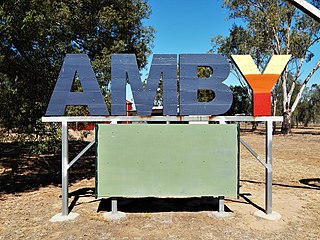
Amby is a rural town and locality in the Maranoa Region, Queensland, Australia. In the 2016 census, the locality of Amby had a population of 86 people.

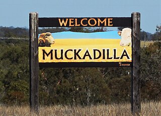
Muckadilla is a rural town and locality in the Maranoa Region, Queensland, Australia. In the 2016 census, the locality of Muckadilla had a population of 58 people.

Begonia is a rural locality in the Maranoa Region, Queensland, Australia. In the 2016 census Begonia had a population of 50 people.

Dunkeld is a rural locality in the Maranoa Region, Queensland, Australia. In the 2021 census, Dunkeld had a population of 49 people.
Wallumbilla North is a rural locality in the Maranoa Region, Queensland, Australia. In the 2016 census, Wallumbilla North had a population of 147 people.

Mount Abundance is a locality in the Maranoa Region, Queensland, Australia. In the 2021 census, Mount Abundance had a population of 178 people.
Wycombe is a rural locality in the Maranoa Region, Queensland, Australia. In the 2016 census, Wycombe had a population of 36 people.

Warkon is a rural locality in the Maranoa Region, Queensland, Australia. In the 2016 census, Warkon had a population of 33 people.
Orange Hill is a rural locality in the Maranoa Region, Queensland, Australia. In the 2021 census, Orange Hill had a population of 179 people.
Bungil is a locality in the Maranoa Region, Queensland, Australia. In the 2021 census, Bungil had a population of 69 people.
Dargal Road is a rural locality in the Maranoa Region, Queensland, Australia. In the 2016 census, Dargal Road had a population of 152 people.
Eurella is a rural locality in the Maranoa Region, Queensland, Australia. In the 2016 census, Eurella had a population of 11 people.
Mount Hutton is a rural locality in the Maranoa Region, Queensland, Australia. In the 2021 census, Mount Hutton had a population of 32 people.

Forestvale is a rural locality in the Maranoa Region, Queensland, Australia. In the 2021 census, Forestvale had a population of 47 people.

Noorindoo is a rural locality in the Maranoa Region, Queensland, Australia. In the 2021 census, Noorindoo had a population of 71 people.
Kilmorey Falls is a rural locality in the Maranoa Region, Queensland, Australia. In the 2016 census Kilmorey Falls had a population of 0 people.
Mount Bindango is a rural locality in the Maranoa Region, Queensland, Australia. In the 2016 census Mount Bindango had a population of 33 people.


