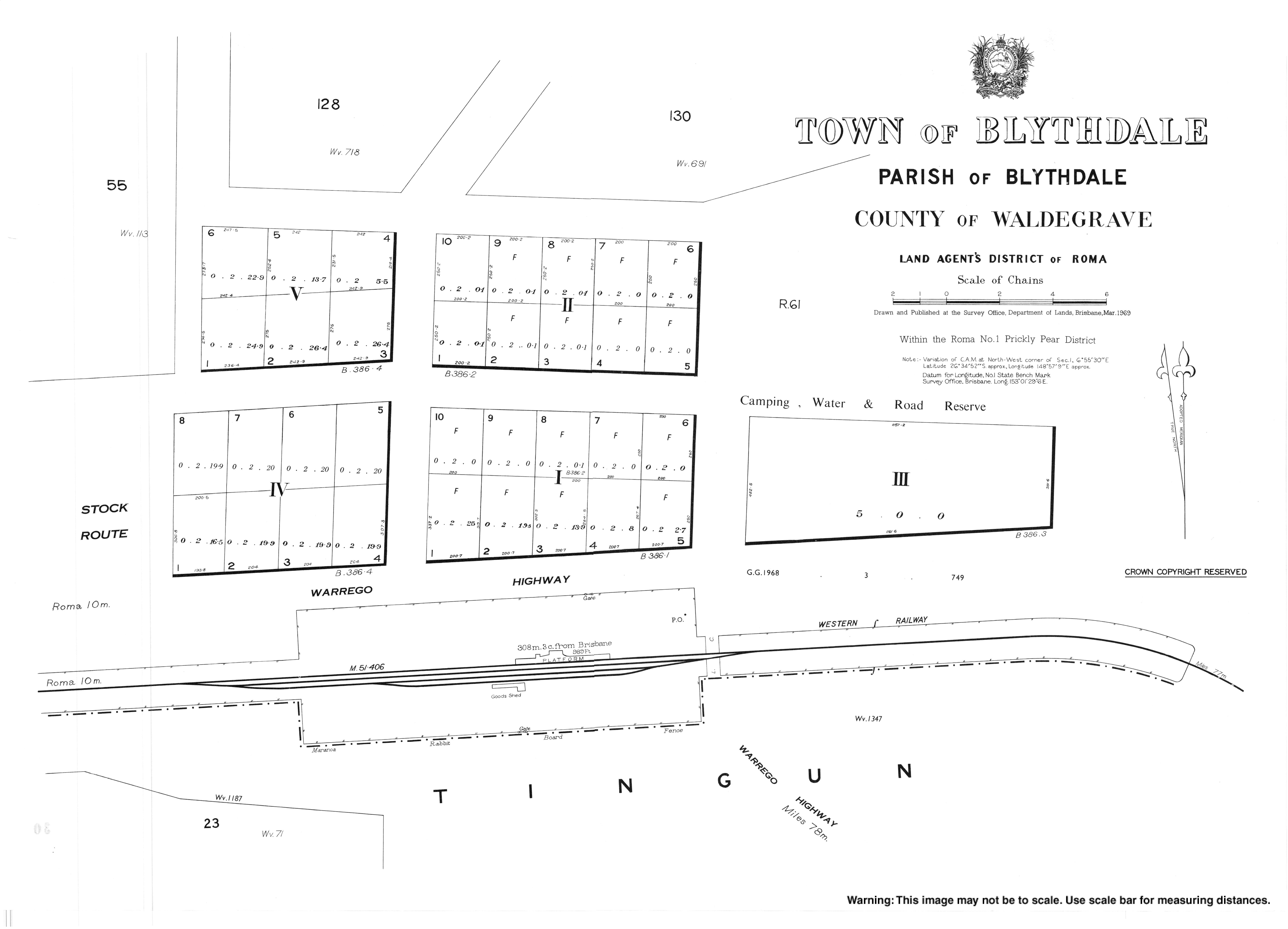
Blythdale, Queensland

Last updated

Blythdale
Queensland
You take the high road.jpg
Bungil Creek Rail bridge over a dry creekbed, 3km east of Roma, 1879
Australia Queensland location map.svg
Red pog.svg
Blythdale
Coordinates 26°34′46″S148°57′12″E / 26.5794°S 148.9533°E / -26.5794; 148.9533
Population47 (2021 census) [1]
 • Density0.362/km2 (0.938/sq mi)
Postcode(s) 4455
Area129.8 km2 (50.1 sq mi)
Time zone AEST (UTC+10:00)
LGA(s) Maranoa Region
State electorate(s) Warrego
Federal division(s) Maranoa
Localities around Blythdale:
Euthulla Mooga Pickanjinnie
Euthulla Blythdale Pickanjinnie
Tingun Tingun Pickanjinnie

Blythdale is a rural town and locality in the Maranoa Region, Queensland, Australia. [2] [3] In the 2021 census, the locality of Blythdale had a population of 47 people. [1]

Contents

Geography

The locality is bounded to the south by the Western railway line with the town served by Blythdale railway station ( 26°34′53″S148°57′17″E / 26.5814°S 148.9546°E / -26.5814; 148.9546 (Blythdale railway station) ). [4] [5]

The Warrego Highway runs immediately north and parallel to the railway line. [5] [6]

History

In 1848, James Alexander Blyth(e) tried to establish a pastoral run called "Tingun Station" on Tingun Creek, 12 miles (19 km) west of Roma. During an attack by Aboriginals near the creek, Blythe was thrown from his horse and speared in the leg. He managed to escape and recovered from his wounds, but the attack caused him to give up the pastoral run. It was then taken up by W.P. Gordon and incorporated into his Wallumbilla pastoral run. Some years later John Christian (of the Hunter River District) purchased Tingun Station and installed his nephew Henry Cardell as his manager and partner. Cardell renamed the pastoral run Blythdale and the creek Blyth Creek in honour of Blythe. [2] [7] [8] [9]

Demographics

In the 2016 census, the locality of Blythdale had a population of 39 people. [10]

In the 2021 census, the locality of Blythdale had a population of 47 people. [1]

Related Research Articles

<span class="mw-page-title-main">Roma, Queensland</span> Town in Queensland, Australia

Roma is a rural town and locality in the Maranoa Region, Queensland, Australia. It is the administrative centre of the Maranoa Region. The town was incorporated in 1867 and is named after Lady Diamantina Bowen, the wife of Sir George Bowen, the Governor of Queensland at the time. In the 2021 census, the locality of Roma had a population of 6,838 people.

<span class="mw-page-title-main">Mitchell, Queensland</span> Town in Queensland, Australia

Mitchell is a rural town and locality in the Maranoa Region, Queensland, Australia. The town services the local area, a cattle and sheep farming district. In the 2021 census, the locality of Mitchell had a population of 995 people.

<span class="mw-page-title-main">Amby, Queensland</span> Town in Queensland, Australia

Amby is a rural town and locality in the Maranoa Region, Queensland, Australia. In the 2021 census, the locality of Amby had a population of 49 people.

<span class="mw-page-title-main">Muckadilla, Queensland</span> Town in Queensland, Australia

Muckadilla is a rural town and locality in the Maranoa Region, Queensland, Australia. In the 2021 census, the locality of Muckadilla had a population of 38 people.

Wallumbilla North is a rural locality in the Maranoa Region, Queensland, Australia. In the 2021 census, Wallumbilla North had a population of 158 people.

Euthulla is a rural locality in the Maranoa Region, Queensland, Australia. In the 2021 census, Euthulla had a population of 364 people.

<span class="mw-page-title-main">Hodgson, Queensland</span> Town in Queensland, Australia

Hodgson is a rural town and locality in the Maranoa Region, Queensland, Australia. In the 2021 census, the locality of Hodgson had a population of 95 people.

Mooga is a rural locality in the Maranoa Region, Queensland, Australia. In the 2021 census, Mooga had a population of 30 people.

<span class="mw-page-title-main">Mount Abundance, Queensland</span> Suburb of Maranoa Region, Queensland, Australia

Mount Abundance is a locality in the Maranoa Region, Queensland, Australia. In the 2021 census, Mount Abundance had a population of 178 people.

Womalilla is a rural town and locality in the Maranoa Region, Queensland, Australia. In the 2021 census, the locality of Womalilla had a population of 72 people.

Tingun is a rural locality in the Maranoa Region, Queensland, Australia. In the 2021 census, Tingun had a population of 184 people.

Eurella is a rural locality in the Maranoa Region, Queensland, Australia. In the 2021 census, Eurella had a population of 45 people.

Simmie is a rural locality in the Maranoa Region, Queensland, Australia. In the 2021 census, Simmie had a population of 16 people.

<span class="mw-page-title-main">Forestvale, Queensland</span> Suburb of Maranoa Region, Queensland, Australia

Forestvale is a rural locality in the Maranoa Region, Queensland, Australia. In the 2021 census, Forestvale had a population of 47 people.

Jackson North is a rural locality in the Maranoa Region, Queensland, Australia. In the 2021 census, Jackson North had a population of 45 people.

Yuleba North is a rural locality in the Maranoa Region, Queensland, Australia. In the 2021 census, Yuleba North had a population of 26 people.

Yuleba South is a rural locality in the Maranoa Region, Queensland, Australia. In the 2021 census, Yuleba South had a population of 21 people.

Wallumbilla South is a rural locality in the Maranoa Region, Queensland, Australia. In the 2021 census, Wallumbilla South had a population of 80 people.

<span class="mw-page-title-main">Noorindoo, Queensland</span> Suburb of Maranoa Region, Queensland, Australia

Noorindoo is a rural locality in the Maranoa Region, Queensland, Australia. In the 2021 census, Noorindoo had a population of 71 people.

Roma–Condamine Road is a continuous 115-kilometre (71 mi) road route in the Maranoa and Western Downs local government areas of Queensland, Australia. It is a state-controlled regional road, rated as a local road of regional significance (LRRS).

References

  1. 1 2 3 Australian Bureau of Statistics (28 June 2022). "Blythdale (SAL)". 2021 Census QuickStats. Retrieved 28 February 2023. OOjs UI icon edit-ltr-progressive.svg
  2. 1 2 "Blythdale – town in Maranoa Region (entry 3357)". Queensland Place Names. Queensland Government . Retrieved 2 November 2019.
  3. "Blythdale – locality in Maranoa Region (entry 49162)". Queensland Place Names. Queensland Government . Retrieved 2 November 2019.
  4. "Railway stations and sidings - Queensland". Queensland Open Data. Queensland Government. 2 October 2020. Archived from the original on 5 October 2020. Retrieved 5 October 2020.
  5. 1 2 "Queensland Globe". State of Queensland . Retrieved 11 March 2022.
  6. Google (20 August 2021). "Blythdale, Queensland" (Map). Google Maps . Google. Retrieved 20 August 2021.
  7. Taylor, R. B (1956). "Early settlement in the Surat-Mount Abundance area". Journal (Historical Society of Queensland). 5 (pt.4): 1240–1253. ISSN   1837-8366.
  8. "TO THE EDITOR". The Brisbane Courier . No. 18, 401. Queensland, Australia. 6 January 1917. p. 13. Archived from the original on 13 March 2022. Retrieved 2 November 2019 via National Library of Australia.
  9. McManus, Mary A (1969). Reminiscences of the early settlement in the Maranoa district. Charleville Times. pp. 10–11. Archived from the original on 13 March 2022. Retrieved 2 November 2019.
  10. Australian Bureau of Statistics (27 June 2017). "Blythdale (SSC)". 2016 Census QuickStats. Retrieved 20 October 2018. OOjs UI icon edit-ltr-progressive.svg