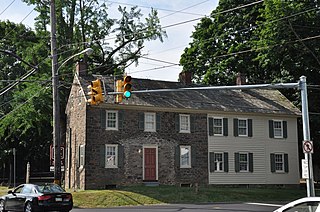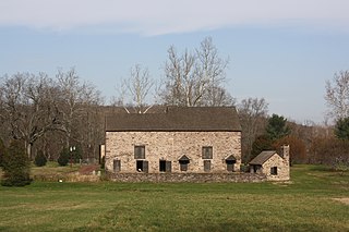
Bucks County is a county in the Commonwealth of Pennsylvania. As of the 2020 census, the population was 646,538, making it the fourth-most populous county in Pennsylvania. Its county seat is Doylestown. The county is named after the English county of Buckinghamshire. The county is part of the Southeast Pennsylvania region of the state.

McDowell County is a county located in the U.S. state of North Carolina. As of the 2020 census, the population was 44,578. Its county seat is Marion.

Arietta is a town in Hamilton County, New York, United States. The population was 292 at the 2020 census. The town was named after the mother of one of the first settlers, Rensselaer Van Rennslaer.

Russia is a town in Herkimer County, New York, United States. The population was 2,269 at the 2020 census, down from 2,587 in 2010. The town is located in the northwestern part of the county and is northeast of Utica.

Verona is a town in southwestern Oneida County, New York, United States. The population was 6,293 at the 2010 census. The town was named after Verona, Italy.

Western is a town in Oneida County, New York, United States. The population was 1,951 at the 2010 census.

Levittown is a census-designated place (CDP) and planned community in Bucks County, Pennsylvania, United States. It is part of the Philadelphia metropolitan area. The population was 52,699 at the 2020 census, down from 52,983 at the 2010 census.

Lower Makefield Township is a township in Bucks County, Pennsylvania, United States. Lower Makefield Township is located in the Delaware Valley and borders the Delaware River and New Jersey to its north and east. Most addresses in the township have a Yardley address; the township surrounds the borough of Yardley on its north, south, and west.

Solebury Township is a township in Bucks County, Pennsylvania, United States. Solebury Township is located in the Philadelphia Metropolitan Area. The population was 8,709 at the 2020 census.

Warrington Township is a township in Bucks County, Pennsylvania, United States. Warrington Township is a northern suburb of Philadelphia. The population was 25,639 at the 2020 census.
Ellisburg is an incorporated town in Jefferson County, New York. The population was 3,352 at the time of the 2020 census. The town is in the southwestern corner of the county and is south of Watertown. Ellisburg is named after early European-American landowners. Among the villages in the town is Ellisburg.

Elbridge is a village located in the western part of the town of Elbridge in western Onondaga County, New York, United States, about 15 miles (24 km) west of Syracuse. It is part of the Syracuse Metropolitan Statistical Area. As of the 2020 census, the population was 921.

Elbridge is a town in Onondaga County, New York, United States. As of the 2020 Census, the population was 5,476. The town is named after Elbridge Gerry, the fifth Vice President of the United States, and one of the signers of the Declaration of Independence.

The Delaware Valley, sometimes referred to as Greater Philadelphia, Philadelphia metropolitan area, or Philadelphia tri-state area, and locally and colloquially referred to as Philly-Jersey-Delaware, is a major metropolitan area in Northeast United States that centers on Philadelphia, the 6th-most populous city in the United States, and spans part of four states: Southeastern Pennsylvania, Southern New Jersey, Northern Delaware, and the northern Eastern Shore of Maryland, though it is sometimes considered a tri-state region if northeast Maryland is excluded from the definition. With a core of metropolitan statistical area population of 6.288 million residents and a combined statistical area population of 7.366 million, Delaware Valley is the eighth-largest metropolitan region in the United States and the 68th-largest metropolitan region in the world.
The Bucks Lake Wilderness is a 23,958-acre (97.0 km2) wilderness area located in the Plumas National Forest section of the Sierra Nevada, in northeastern California, United States.

The Moggy Hollow Natural Area is a 14-acre (5.7 ha) nature preserve in Far Hills, Somerset County, New Jersey, United States. As the Wisconsin Glacier advanced, Glacial Lake Passaic formed eventually rising until it found an outlet at Moggy Hollow, draining to the Raritan River. It was designated a National Natural Landmark in January 1970.
Ottsville is an unincorporated community in Tinicum Township in Bucks County, Pennsylvania, United States, with parts of the community located in neighboring Nockamixon Township. Ottsville is located at the intersection of Creamery Road/Geigel Hill Road and Durham Road, north a short distance east of Pennsylvania Route 611.
Kill Buck is a hamlet in Cattaraugus County, New York, United States. The community is located along New York State Route 417 and U.S. Route 219 Business, sharing its western border with the eastern border of the city of Salamanca. Kill Buck is named after Daniel Kill Buck, who was a mayor of the community during its days as a Seneca village.
Buck Hill is a summit located in Central New York Region of New York located in the Town of Russia in Herkimer County, north of Poland.


