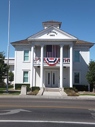
Churchill County is a county in the western U.S. state of Nevada. As of the 2020 census, the population was 25,516. Its county seat is Fallon. Named for Mexican–American War hero brevet Brigadier General Sylvester Churchill, the county was formed in 1861. Churchill County comprises the Fallon, NV Micropolitan Statistical Area. It is in northwestern Nevada. Churchill County is noteworthy in that it owns and operates the local telephone carrier, Churchill County Communications.

Lander County is a county in the U.S. state of Nevada. As of the 2020 census, the population was 5,734. Its county seat is Battle Mountain.

Churchill is a borough in Allegheny County, Pennsylvania, United States. The population was 3,157 at the 2020 census. It is a residential suburb of the Pittsburgh metropolitan area. The town was named from the hilltop Beulah Presbyterian Church.

The Winston Churchill Range is a mountain range in the central section of the Park Ranges of the Canadian Rockies located in Jasper National Park. The range was named after Sir Winston Churchill, former British prime minister.

The Allagash River is a tributary of the Saint John River, approximately 65 miles (105 km) long, in northern Maine in the United States. It drains in a remote and scenic area of wilderness in the Maine North Woods north of Mount Katahdin. The name "Allagash" comes from the Abenaki language, a dialect of the Algonquin languages, spoken by the Penobscot Tribe. The word, /walakéskʸihtəkʸ/, means "bark stream".
The Stillwater Range is a mountain range located in western Nevada in the United States. It is a SSW–NNE running ridge, approximately 70 miles (110 km) long. It cuts across the center of Churchill County and extends partway into Pershing County.

The Byrd Glacier is a major glacier in Antarctica, about 136 km (85 mi) long and 24 km (15 mi) wide. It drains an extensive area of the Antarctic plateau, and flows eastward to discharge into the Ross Ice Shelf.

The Churchill Mountains is a major range of mountains and associated elevations bordering the western side of the Ross Ice Shelf, between Byrd Glacier and Nimrod Glacier. They are south of the Britannia Range and north of the Geologists Range, Miller Range and Queen Elizabeth Range.
The Clan Alpine Mountains are a mountain range located in west-central Nevada in the United States. The range lies in a southwest-northeasterly direction in Churchill County, and contains Mount Augusta, at 9,967 feet (3,038 m) above sea level. The mountains lie to the west of the Desatoya Mountains and southeast of the Stillwater Range. The Augusta Mountains lie to the northeast and the New Pass Range to the east. A large part of the range, 196,128 acres (793.70 km2), lies within the Clan Alpine Mountains Wilderness Study Area. The Clan Alpine Mountains lie to the north and northwest of Highway 50.

Ward LeRoy Churchill is an American activist and author. He was a professor of ethnic studies at the University of Colorado Boulder from 1990 until 2007. Much of Churchill's work focuses on the historical treatment of political dissenters and Native Americans by the United States government, and he expresses controversial views in a direct, often confrontational style. While Churchill has claimed Native American ancestry, genealogical research has failed to unearth such ancestry and he is not a member of a tribe.

Mount Bona is one of the major mountains of the Saint Elias Mountains in eastern Alaska, and is the fifth-highest independent peak in the United States. It is either the tenth- or eleventh-highest peak in North America. Mount Bona and its adjacent neighbor Mount Churchill are both large ice-covered stratovolcanoes. Bona has the distinction of being the highest volcano in the United States and the fourth-highest in North America, outranked only by the three highest Mexican volcanoes, Pico de Orizaba, Popocatépetl, and Iztaccíhuatl. Its summit is a small stratovolcano on top of a high platform of sedimentary rocks.

Crouseville is an unincorporated village located within the town of Washburn in Aroostook County, Maine, United States.
Boundary Bald Mountain is a mountain located in Somerset County, Maine, about 7.5 mi (12.1 km) southeast of the Canada–US border with Quebec. Boundary Bald Mountain is flanked to the east by Ironbound Mountain, and to the west by Sandy Bay Mountain.

Nevada's entry into statehood in the United States on October 31, 1864, in the midst of the American Civil War, was expedited by Union sympathizers in order to ensure the state's participation in the 1864 presidential election in support of President Abraham Lincoln. Thus Nevada became one of only two states admitted to the Union during the war and earned the nickname that appears on the Nevada state flag today: "Battle Born".
The Augusta Mountains are a small mountain range in Pershing, Churchill and Lander counties of Nevada.
Starshot Glacier is a glacier 50 nautical miles (90 km) long that flows through the Churchill Mountains to enter the Ross Ice Shelf in Antarctica.
Desatoya Peak is the tallest mountain in both the Desatoya Mountains and Churchill County, in Nevada, United States. It ranks forty-third among the most topographically prominent peaks in the state. The mountain has two peaks with the south peak being the taller at 9,977 feet (3,041 m) while the north peak has an elevation of 9,970 feet (3,039 m). It is located about 38 miles (61 km) west of Austin and 55 miles (89 km) east of Fallon, along the boundary between Churchill County and Lander County. The peak is on public land administered by the Bureau of Land Management and thus has no access restrictions.
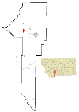
Churchill is a census-designated place (CDP) in Gallatin County, Montana, United States. The population was 1,030 at the 2020 census. It is part of the Bozeman, MT Micropolitan Statistical Area. It was formerly part of the Amsterdam-Churchill CDP.

Utsayantha Mountain is a 3,209-foot-tall (978 m) mountain in the Catskill Mountains of New York. It is located east-southeast of Stamford in Delaware County. Variant names include Utsayanthe Mountain, Utsayanthia Mountain, Utsayantho Mountain, and Utsyantha Mountain. McGregor Mountain is located southeast of Utsayantha Mountain and Churchill Mountain is located southwest. Utsayantha Mountain is named after Utsayantha, the daughter of Chief Ubiwacha, chief of the Lenape Indians.

