Fort Vermilion 173B | |
|---|---|
| Fort Vermilion Indian Reserve No. 173B | |
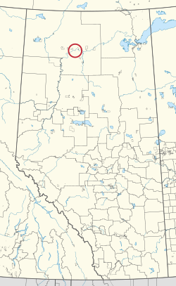 Location in Alberta | |
| First Nation | Tallcree |
| Treaty | 8 |
| Country | Canada |
| Province | Alberta |
| Specialized municipality | Mackenzie |
| Area | |
• Total | 49.7 ha (123 acres) |
| Population (2016) [2] | |
• Total | 96 |
| • Density | 190/km2 (500/sq mi) |
Fort Vermilion 173B is an Indian reserve of the Tallcree First Nation in Alberta, located within Mackenzie County. [3] It is 1 kilometre southwest of Fort Vermilion. [1] In the 2016 Canadian Census, it recorded a population of 96 living in 23 of its 25 total private dwellings. [2]