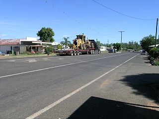
Roma is a rural town and locality in the Maranoa Region, Queensland, Australia. It is the administrative centre of the Maranoa Region. The town was incorporated in 1867 and is named after Lady Diamantina Bowen, the wife of Sir George Bowen, the Governor of Queensland at the time. In the 2021 census, the locality of Roma had a population of 6,838 people.

Rolleston is a rural town and locality in the Central Highlands Region, Queensland, Australia. In the 2021 census, the locality of Rolleston had a population of 132 people.

Wallumbilla is a rural town and locality in the Maranoa Region, Queensland, Australia. In the 2021 census, the locality of Wallumbilla had a population of 331 people. with 191 people living in the town itself.

Mitchell is a rural town and locality in the Maranoa Region, Queensland, Australia. The town services the local area, a cattle and sheep farming district. In the 2021 census, the locality of Mitchell had a population of 995 people.

Calen is a rural town and coastal locality in the Mackay Region, Queensland, Australia. In the 2021 census, the locality of Calen had a population of 427 people.

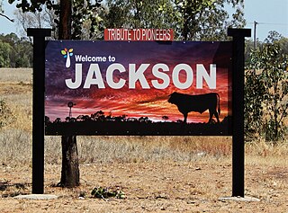
Jackson is a rural town and locality in the Maranoa Region, Queensland, Australia. In the 2021 census, the locality of Jackson had a population of 55 people.

Glenmorgan is a rural town in the Western Downs Region and a locality split between the Western Downs Region and the Maranoa Region, Queensland, Australia. In the 2021 census, the locality of Glenmorgan had a population of 121 people.

Mungallala is a rural town and locality in the Maranoa Region, Queensland, Australia. In the 2021 census, the locality of Mungallala had a population of 85 people.

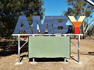
Amby is a rural town and locality in the Maranoa Region, Queensland, Australia. In the 2021 census, the locality of Amby had a population of 49 people.

Eungella is a rural town and locality in the Mackay Region, Queensland, Australia. In the 2021 census, the locality of Eungella had a population of 190 people.
Euthulla is a rural locality in the Maranoa Region, Queensland, Australia. In the 2021 census, Euthulla had a population of 364 people.

Mount Abundance is a locality in the Maranoa Region, Queensland, Australia. In the 2021 census, Mount Abundance had a population of 178 people.
Fernlees is a rural town in the locality of Gindie, Central Highlands Region, Queensland, Australia.
Dows Creek is a rural locality in the Mackay Region, Queensland, Australia. In the 2021 census, Dows Creek had a population of 146 people.

Peeramon is a rural town and locality in the Tablelands Region, Queensland, Australia. In the 2021 census, the locality of Peeramon had a population of 778 people.
Mount Moffatt is a rural locality in the Maranoa Region, Queensland, Australia. In the 2021 census, Mount Moffatt had a population of 14 people.
Mount Howe is a rural locality in the Maranoa Region, Queensland, Australia. In the 2021 census, Mount Howe had a population of 20 people.

Noorindoo is a rural locality in the Maranoa Region, Queensland, Australia. In the 2021 census, Noorindoo had a population of 71 people.
Kilmorey Falls is a rural locality in the Maranoa Region, Queensland, Australia. In the 2021 census, Kilmorey Falls had a population of 23 people.
Mount Bindango is a rural locality in the Maranoa Region, Queensland, Australia. In the 2021 census, Mount Bindango had a population of 26 people.


