Kadirur is a census town and city suburb of Thalassery within the Thalassery Taluk of Kannur District in the State of Kerala, India. Kadirur is located about 8 km (5.0 mi) from the Thalassery Township. Kadirur is located on the Tellicherry-Mysore road.
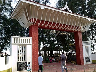
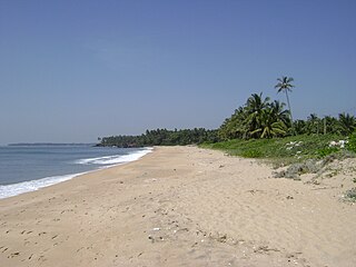
Azhikode is a coastal town and a suburb of kannur city situated in Kannur district of Kerala, India. Azhikode town is divided into Azhikode North and Azhikode South. The northern end of the Azhikode North is called Azhikkal. The place is the birthplace of Sukumar Azhikode, an influential thinker and literary critic. It is about 7 km (4.3 mi) from Kannur city.
Thottada is a census town and suburb of Kannur city situated on NH 66 of about 8 km (5.0 mi) south of Kannur railway station in Kerala State, India.
Eranholi is a census town and suburb of Thalassery in Tellicherry Municipality in the state of Kerala, India, and located on Tellichery Mysore highway. The nearest town is Chirakkara. Eranholi bridge built across Eranholi river in 1937 which is entry to Tellicherry.The Eranholi Bridge is a significant bridge of TC Road.
Cheruthazham is a Census Town and Grama Panchayat in Kannur district in the state of Kerala, India. It is the location of the famous Hanumarambalam, dedicated to Sri Rama and Hanuman. Cheruthazham is also the birthplace of Kalamandalam Krishnan Nair who gave a new dimension to the art of Kathakali. There are many artists in Cherutazham who are experts in the traditional musical items like "panchavadyam", "taayambaka", "chenda melam" etc. The new generation of Cherutazham is also getting trained in these art forms.
Iriveri is a census town in Kannur district in the Indian state of Kerala.
Kanhirode is a census town in Kannur district of Kerala state, India. Kanhirode is located 13 km east of Kannur city on Kannur-Mattanur road.

Kannadiparamba is a census town in Kannur district in the Indian state of Kerala.
Kottayam-Malabar is a census town near Kuthuparamba in Kannur district of Kerala state in India. It is different from the city of Kottayam in Kottayam district of the same state.
Narath is a census town in Kannur district in the Indian state of Kerala.
Paduvilayi is a census town in Kannur district in the Indian state of Kerala.Paduvilayi is situated In anjarakandi district. More than 20000 people live in this census town
Panniyannur is a census town in Thalassery taluk of Kannur district in the Indian state of Kerala. It is part of Greater Mahé Region.
Pathiriyad is a census town in Kannur district in the Indian state of Kerala.
Pattiam is a census town in Kannur district in the Indian state of Kerala.

Peralasseri is a census town and Panchayat headquarters in Kannur district in the Indian state of Kerala, situated on the Kannur-Kuthuparamba State Highway 38 (Kerala), 12 km from Kannur city, on the bank of Anjarakandy river.
Mangattidam is a census town and a panchayat situated near Kuthuparamba in Thalassery taluk, Kannur district, Kerala, India.
Chala is a census town and Suburb of Kannur city in the state of Kerala, India and is situated 10 km (6.2 mi) south of Kannur and lies on National Highway 66 towards Thalassery.
Kandamkunnu is a census town in Kannur district in the Indian state of Kerala.
Vayathur is a village in Ulikkal Grama panchayat of Kannur district in the Indian state of Kerala.
Vellad is a large village in Kannur district in the Indian state of Kerala.