
Sixmilebridge is a large village in County Clare, Ireland. Located midway between Ennis and Limerick city, the village is a short distance away from the main N18 road. Locally, it is commonly called 'the Bridge'.

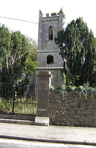
Dysert is a civil parish in County Clare, Ireland. The parish was formerly called Dysert O’Dea, from its having been the territory of the sept of that name. It is part of the ecclesiastical parish of Dysart and Ruan. The ruins of O'Dea Castle and a 12th-century church of Dysert O'Dea Monastery are in the townland of the same name.
Kilmoon is a civil parish of County Clare, Ireland, 7 miles (11 km) north of Ennistymon. The parish contains the town of Lisdoonvarna.
Kilmurry Ibrickane is a civil parish in County Clare, Ireland, The parish is part of the historic barony of Ibrickane. In 1837, it was co-extensive with the parish of the Established Church and of the Catholic Church. The civil parish contains the tiny settlement of Kilmurry which was the location of the church before the Cromwellian conquest of Ireland. Today, an ecclesiastical parish in the Roman Catholic Diocese of Killaloe of the same name exists which covers part of the civil parish. In the Church of Ireland, the parish is part of the "Drumcliffe Union with Kilnasoolagh" which covers the western part of the county of Clare, roughly that part located to the west of the M18 motorway.
Kilnasoolagh is a civil parish in County Clare, Ireland, and a townland within that parish. Church records mention the parish in 1256.

Feenagh, or Finogh, Phinagh is a civil parish in County Clare, Ireland.
Clonloghan is a civil parish of County Clare, Ireland, located 21.7 kilometres (13.5 mi) by road northwest of Limerick, just north of Shannon.
Clooney is a civil parish of County Clare, Ireland, located to the northeast of Ennis, south of Inchicronan. The area is marshy, with the Oysterman's Marsh Natural Heritage Area in the vicinity. Clooney-Quin GAA is a GAA club for the Catholic parish of Clooney and Quin.
Bunratty Lower is a barony in County Clare, Ireland. This ancient unit of land division is in turn divided into fourteen civil parishes.
Bunratty Upper is a barony in County Clare, Ireland. This ancient geographical division of land is in turn divided into six civil parishes.
Drumline is a civil parish of County Clare, Ireland, located about 20 kilometres (12 mi) northwest of Limerick, just north of Shannon.
Kilconry is a civil parish of County Clare, Ireland, located about 25 kilometres (16 mi) northwest of Limerick, west of Shannon on the estuary of the River Shannon. The main village in the area is Ballycalla/Ballcally and it contains the Shannon Golf Club and Shannon Airport.

Kilmacduane is a civil parish in County Clare, Ireland. It contains the villages of Cooraclare and Cree.
Kilmurry-Negaul is a civil parish and a village in County Clare, Ireland.

Kilraghtis is a civil parish in County Clare, Ireland. It covers an area northeast of the town of Ennis, and includes the Ennis suburb of Roslevan.
Killeely is a civil parish that lies partly in County Clare and partly in County Limerick in Ireland.
Kilfintinan is a civil parish in County Clare, Ireland. It is part of the Catholic parish of Cratloe.
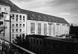
St. Patrick's, or Kilquane, is a civil parish situated on both banks of the River Shannon near the city of Limerick in Ireland. It is unusual in that it is distributed over three baronies: Bunratty Lower, Clanwilliam and the barony of the City of Limerick. Besides the suburbs of the city, it also contains the villages of Ardnacrusha and Parteen. It is known for the Ardnacrusha power plant, a major hydroelectric plant.

Kilmaleery is a civil parish in County Clare, Ireland. It is part of the Catholic parish of Newmarket-on-Fergus.
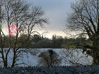
Leitrim is a barony in Ireland that lies partly in County Galway and partly in County Clare. It is located in the south-eastern corner of County Galway and the north-eastern corner of County Clare. Prior to 1898, the entire barony was contained in County Galway. The Local Government (Ireland) Act 1898 split the barony: part of the barony was transferred to County Clare. Leitrim is bounded, clockwise from the southwest, by the Clare baronies of Tulla Upper and Tulla Lower; the Galway baronies of Loughrea to the west, Kilconnell to the north, and Longford to the east; and by Lough Derg to the south and southeast. It measures 20 miles (32 km) from north to south and 9.5 miles (15.3 km) from east to west.

