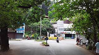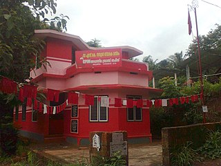
Taliparamba is a Municipality in Taliparamba taluk of Kannur district, Kerala, India. The municipal town spreads over an area of 18.96 square kilometres (7.32 sq mi) and is inhabited by 44,247 number of people.

Mattanur, also spelled Mattannur, is a town, municipality, and an aerotropolis in Kannur district, Kerala, India. Mattanur is about 27 km east of Kannur and Thalassery, two major towns of the district.
Vellavu is a place in the Pariyaram gram panchayat of the Kannur District, state of Kerala, India.

Irikkur is a town and grama panchayat in Kannur District of Kerala state, India.
Kannapuram is a census town and grama panchayat in Kannur district of North Malabar region in the Indian state of Kerala.

Mayyil is a Census Town and Grama Panchayat in Kannur District of Kerala State. Mayyil Panchayat established in 1962 by merging the villages of Kayaralam, Mayyil and Kandakkai.

Mullakkodi is a village in Mayyil Gram Panchayat of Kannur District situated on the East Bank of Valapattanam river. Mullakkodi known for its backwaters, paddy fields and for its community festival called the Ayar Munamba Manna Maqam Urooz.

Eruvatty is a village in Kerala, India. It is in the district of Kannur.
Koodali is a census town and grama panchayat in Thalassery taluk of Kannur district in Kerala state, India. Koodali is located 15.5 km (9.6 mi) east of Kannur city on Kannur-Mattanur road.
Punnad is a village in Kannur district in the state of Kerala, India.
Chengalayi is a village in Kannur district in the Indian state of Kerala. The village is also known as Chengalayi.
Chuzhali is a village in the Kannur district of the Indian state of Kerala.
Mavichery is a village which is the part of Pariyaram Gramapanchayath in the Kannur district of Kerala, India.

Karimbam is a suburb of Taliparamba town in Kannur district in the Indian state of Kerala. It stretches from Government Hospital Karimbam to Panakkad and Varadool villages.

Aroli is a village of Pappinisseri Panchayat in Kannur district in the Indian state of Kerala.

Aduthila is a village between Ezhome and Madayi Panchayath, in the Indian state of Kerala. Aduthila literally means the nearest home.
Chalode is a small junction town developing in Kannur, Kerala state, India.

Dharmashala is a small town and headquarters of the Anthoor Municipality in Kannur district of the North Malabar region in the Indian state of Kerala. It is located near National Highway 66 between Kannur and Taliparamba. It is located about 16 kilometres (9.9 mi) north of Kannur. Dharmashala is an important educational and industrial hub in the Kannur district and also an important tourism destination of Malabar region. Dharmashala is a major government officials settlement area in Kannur. A large number of migrant labourers from various other states are working in the industrial development area in Dharmashala. Students from various parts of country study at institutes such as NIFT. Nearby important institutions and attractions are the Kerala Armed Police (KAP) 4th Battalion Mangattuparamba, Government College of Engineering Kannur, Kannur University, KELTRON, Vismaya water theme park, Parassinikkadavu Shree Muthappan temple, Doordarshan kendra, Parassinikkadavu Snake Park, Industrial Development Plot, Central School, EK Nayanar memorial women and child hospital, Si-met college of nursing, M.V.R memorial Ayurveda Medical College, Institute of Co-operative Management (ICM), National Institute of Fashion Technology, Vellikkeel eco tourism park, Hi-Five sports indoor stadium, Kerala Clays and Ceramics Ltd. etc.
Koonam is a census village in Taliparamba Taluk in North Kerala Division, Kannur District of Kerala, India. It comes under Kurumathoor and chengalayi Panchayaths. It is located about 9 km (5.6 mi) from Taliparamba and 30 km (19 mi) north of Kannur.

Chapparapadavu is a Grama panchayat in Kannur district in the Indian state of Kerala. Chapparapadavu Panchayat have administration over the villages of Kooveri, Thimiri and Vellad.


