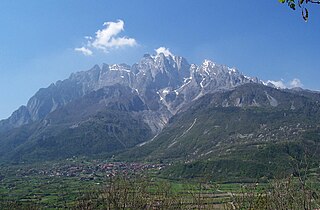
Presolana is a mountain located in Lombardy, northern Italy, about 35 km north of Bergamo.

The Gazzirola is a mountain of the Lugano Prealps on the Swiss-Italian border. Its summit is the highest point of the municipality of Lugano.

The Camoghè is a mountain of the Lugano Prealps, located east of Camorino in the canton of Ticino. It is the highest mountain that can be seen from Lugano city center.

Monte Tamaro is a mountain of the Lugano Prealps, overlooking Lake Maggiore in the Swiss canton of Ticino. Reaching a height of 1,962 metres above sea level, it is the highest summit of the chain located between Lake Maggiore and Lake Lugano, which also includes Monte Lema. It is also the most prominent summit of the canton.

Monte Lema is a mountain of the Lugano Prealps, located on the border between Switzerland and Italy. Its summit can easily reached by cable car from the village of Miglieglia (Ticino).

The Corni di Canzo, are a group of mountains located in the Triangolo lariano, to the south of Lake Como. Administratively they belong to the province of Como.

Monte Carmo di Loano is a mountain in Liguria, northern Italy, part of the Ligurian Prealps. It is located in the province of Savona. It lies at an altitude of 1389 metres.

Monte Galero is a mountain in Liguria, northern Italy, part of the Alps. It is located in the provinces of Savona and Cuneo. It lies at an altitude of 1708 metres and, after Monte Armetta, is the second highest summit of the Ligurian Prealps.
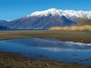
Monte Bregagno is a mountain of Lombardy, Italy, It has an elevation of 2,107 metres.

Monte Grona is a mountain of Lombardy, Italy. It has an elevation of 1,736 metres and belongs to the province of Como.

Monte Nudo is a mountain of Lombardy, Italy. It has an elevation of 1,237 metres. Administratively it belongs to the province of Varese.

Pizzo di Gino is a mountain of Lombardy, Italy. With an elevation of 2,245 m it is the highest peak of the Lugano Prealps.

Monte San Primo is a mountain of Lombardy, Italy. It is 1,682 metres (5,518 ft) high and belongs to the province of Como.
SOIUSA code is the code used in the International Standardized Mountain Subdivision of the Alps, a proposal by Italian Alpinist, Sergio Marazzi, to re-categorize the mountains and mountain ranges of the Alps. The proposal has been aired since 2005 but has yet to receive official recognition.

The Alpi Cusiane are a sub-range of the Pennine Alps located in Piemonte (Italy).

The Brescia and Garda Prealps are a mountain range in the southern part of the Alps. They are located mainly in Lombardy but also in Trentino Alto Adige and in Veneto, in the northern part of Italy.

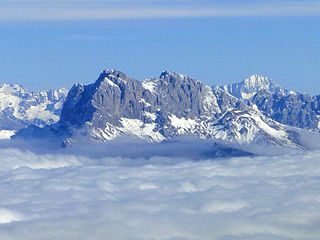
The Bergamasque Alps and Prealps are a mountain range in the southern part of the Alps. They are located in Lombardy, in the northern part of Italy.
The Bergamasque Prealps are a mountain range within the Alps. The range is located in Lombardy, in the north of Italy.

The Col Nudo is a mountain in the Alps located in Italy. It is the highest peak of the Venetian Prealps and the 30th most prominent summit of the Alps.
The Vetta del Vallone is a mountain of the Lugano Prealps on the Swiss-Italian border. It is located between the Valle Morobbia (Ticino) and the Val Cavargna (Lombardy).


