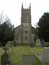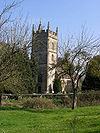
Pilton is a village and civil parish in Somerset, England, situated on the A361 road in the Mendip district, 3 miles (5 km) south-west of Shepton Mallet and 6 miles (10 km) east of Glastonbury. The village has a population of 998. The parish includes the hamlets of West Compton, East Compton, Westholme, Beardly Batch and Cannards Grave.

Batcombe is a village and civil parish in Somerset, England, situated in the steep valley of the River Alham 5 miles (8 km) south-east of Shepton Mallet and 26 miles (42 km) south of Bristol. The parish has a population of 439. Batcombe village is at the heart of the parish, which also includes the hamlets of Westcombe, Spargrove and Eastcombe.

Binegar is a small village and civil parish in Somerset, England. It is located on the A37, 4 miles (6.4 km) east of Wells, between Shepton Mallet and Chilcompton. Its population in 2011 was 313. Binegar and Gurney Slade on the opposite side of the A37 are effectively a single village and share a sign on the main road. In Gurney Slade, the quarry and houses on the north side of Tape Lane are in Binegar parish whilst the south side is in Ashwick parish. In Binegar, some houses on the south side of Station Road are in Ashwick parish and some on the north side of the village are in Emborough parish.

Ashwick is a village in Somerset, England, about three miles north of Shepton Mallet and seven miles east from Wells. It has also been a civil parish since 1826. The parish had a population of 1,352 according to the 2011 census, and apart from Ashwick village also includes Gurney Slade and Oakhill.

Witham Friary is a small English village and civil parish located between the towns of Frome and Bruton in the county of Somerset. It is in the Cranborne Chase and West Wiltshire Downs Area of Outstanding Natural Beauty and the ancient Forest of Selwood.

Stratton-on-the-Fosse is a village and civil parish located on the edge of the Mendip Hills, 2 miles (3 km) south-west of Westfield, 6 miles (10 km) north-east of Shepton Mallet, and 9 miles (14 km) from Frome, in Somerset, England. It has a population of 1,108, and has a rural agricultural landscape, although it was part of the once-thriving Somerset coalfield. Within the boundaries of the parish are the hamlets of Benter and Nettlebridge.

Cranmore is a village and civil parish east of Shepton Mallet, in Somerset, England. The parish includes the hamlets of Waterlip, East Cranmore and Dean. In 2011 the parish had a population of 667.

Doulting is a village and civil parish 1.5 miles (2 km) east of Shepton Mallet, on the A361, in the Mendip district of Somerset, England.
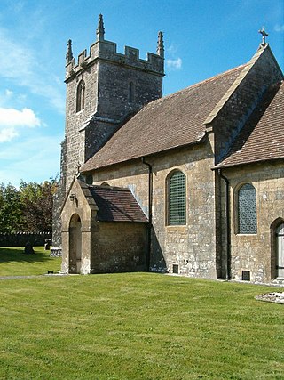
Downhead is a village and civil parish just south of Leigh-on-Mendip and 5 miles (8 km) north east of Shepton Mallet, in the Mendip district of Somerset, England. The parish includes the hamlet of Tadhill.

East Pennard is a village and civil parish 4 miles (6.4 km) north west of Castle Cary, and 5 miles (8.0 km) south of Shepton Mallet, in the Mendip district of Somerset, England. It has a population of 348. The parish includes the hamlets of Stone, Parbrook and Huxham.

Lamyatt is a village and civil parish in the Mendip district of Somerset, England. It lies 5 miles (8 km) south east of Shepton Mallet, 2 miles (3 km) north east of Castle Cary, and 3 miles (5 km) south of Evercreech. The parish has a population of 183.
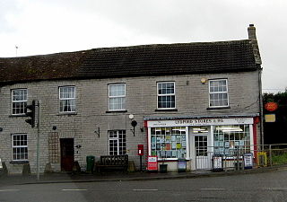
Lydford-on-Fosse is a village and civil parish in the Mendip district of Somerset, England. The parish includes the village of West Lydford and hamlet of East Lydford.

North Wootton is a village and civil parish, on the River Redlake, 2.5 miles (4.0 km) south east of Wells, and 3.5 miles (5.6 km) south west of Shepton Mallet in the Mendip district of Somerset, England.
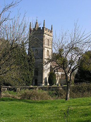
Pylle is a village and civil parish 4 miles (6.4 km) south west of Shepton Mallet, and 7 miles (11.3 km) from Wells, in the Mendip district of Somerset, England. It has a population of 160. The parish includes the hamlet of Street on the Fosse.

Stoke St Michael is a village and civil parish on the Mendip Hills 4 miles (6.4 km) north east of Shepton Mallet, and 8 miles (12.9 km) west of Frome, in the Mendip district of Somerset, England.

West Bradley is a village and civil parish 4 miles south-east of Glastonbury in Somerset, England. The parish includes the hamlets of Hornblotton and Lottisham.

West Pennard is a village and civil parish east of Glastonbury, situated at the foot of Pennard Hill, in Somerset, England. The parish includes the hamlets of Coxbridge and Woodlands.
Shepton Mallet was a rural district in Somerset, England, from 1894 to 1974.
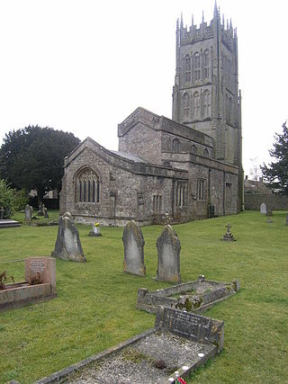
Leigh-on-Mendip or Leigh upon Mendip is a small village on the Mendip Hills in Somerset, England. It lies roughly equidistant from Frome, Radstock and Shepton Mallet at about 5 miles (8 km) from each town.


