This is a list of the National Register of Historic Places listings in Ventura County, California.

This is a list of the National Register of Historic Places listings in Contra Costa County, California.

This is a list of the National Register of Historic Places listings in Riverside County, California.

This is a list of the National Register of Historic Places listings in Fresno County, California.

This is a list of the National Register of Historic Places listings in Mariposa County, California.

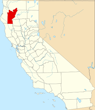
This is a list of the National Register of Historic Places listings in Shasta County, California.
This is a list of the National Register of Historic Places listings in Solano County, California.
This is a list of the National Register of Historic Places listings in Colusa County, California.

This is a list of the National Register of Historic Places listings in Kings County, California.

This is a list of the National Register of Historic Places listings in Lassen County, California.

This is a list of the National Register of Historic Places listings in Plumas County, California.

This is a list of the National Register of Historic Places listings in Sierra County, California.

This is a list of the National Register of Historic Places listings in Alpine County, California.

This is a list of the National Register of Historic Places listings in Calaveras County, California. This is intended to be a complete list of the properties and districts on the National Register of Historic Places in Calaveras County, California, United States. Latitude and longitude coordinates are provided for many National Register properties and districts; these locations may be seen together in an online map.

This is a list of the National Register of Historic Places listings in Merced County, California.

This is a list of the National Register of Historic Places listings in Imperial County, California.
This is a list of the National Register of Historic Places listings in Tehama County, California.
This is a list of the National Register of Historic Places listings in Trinity County, California.

This is a list of the National Register of Historic Places listings in Madera County, California.
This is a list of the National Register of Historic Places listings in Redwood National and State Parks.