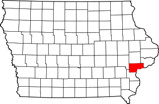
This is intended to be a complete list of the properties and districts on the National Register of Historic Places in Scott County, Iowa, United States. Latitude and longitude coordinates are provided for many National Register properties and districts; these locations may be seen together in a map.

This is a list of the National Register of Historic Places listings in Cedar County, Iowa.

This is a list of the National Register of Historic Places listings in Carroll County, Iowa.

This is a list of the National Register of Historic Places listings in Cerro Gordo County, Iowa.

This is a list of the National Register of Historic Places listings in Davis County, Iowa.

This is a list of the National Register of Historic Places listings in Clinton County, Iowa.

This is a list of the National Register of Historic Places listings in Dubuque County, Iowa.

This is a list of the National Register of Historic Places listings in Keokuk County, Iowa.
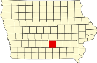
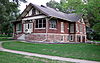
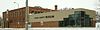
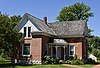
This is a list of the National Register of Historic Places listings in Marion County, Iowa.

This is a list of the National Register of Historic Places listings in Mahaska County, Iowa.

This is a list of the National Register of Historic Places listings in Lyon County, Iowa.

This is a list of the National Register of Historic Places listings in Polk County, Iowa.
This is a list of the National Register of Historic Places listings in Muscatine County, Iowa.

This is a list of the National Register of Historic Places listings in Mitchell County, Iowa.

This is a list of the National Register of Historic Places listings in Washington County, Iowa.

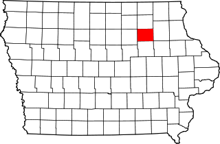
This is a list of the National Register of Historic Places listings in Tama County, Iowa.

This is a list of the National Register of Historic Places listings in Floyd County, Indiana.
This is a list of the National Register of Historic Places listings in Bremer County, Iowa.

This is a list of the National Register of Historic Places listings in Floyd County, Virginia.

This is a list of the National Register of Historic Places listings in Des Moines, Iowa.