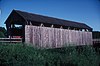
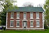
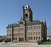
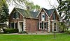
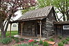
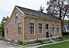
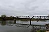
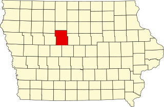
This is intended to be a complete list of the properties and districts on the National Register of Historic Places in Scott County, Iowa, United States. Latitude and longitude coordinates are provided for many National Register properties and districts; these locations may be seen together in a map.

This is a list of the National Register of Historic Places listings in Marion County, Florida.

This is a list of the National Register of Historic Places listings in Marion County, West Virginia.

This is a list of the National Register of Historic Places listings in Cedar County, Iowa.
This is a list of the National Register of Historic Places listings in Fayette County, Iowa.

This is a list of the National Register of Historic Places listings in Franklin County, Iowa.

This is a list of the National Register of Historic Places listings in Dubuque County, Iowa.

This is a list of the National Register of Historic Places listings in Jasper County, Iowa.

This is a list of the National Register of Historic Places listings in Hardin County, Iowa.

This is a list of the National Register of Historic Places listings in Henry County, Iowa.

This is a list of the National Register of Historic Places listings in Jefferson County, Iowa.

This is a list of the National Register of Historic Places listings in Lee County, Iowa.

This is a list of the National Register of Historic Places listings in Mahaska County, Iowa.

This is a list of the National Register of Historic Places listings in Lucas County, Iowa.

This is a list of the National Register of Historic Places listings in Polk County, Iowa.

This is a list of the National Register of Historic Places listings in Monroe County, Iowa.

This is a list of the National Register of Historic Places listings in Montgomery County, Iowa.
This is a list of the National Register of Historic Places listings in Webster County, Iowa.

This is a list of the National Register of Historic Places listings in Warren County, Iowa.

The following properties are listed on the National Register of Historic Places in Marion County, Missouri.