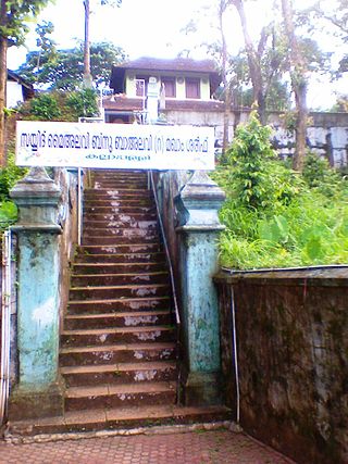
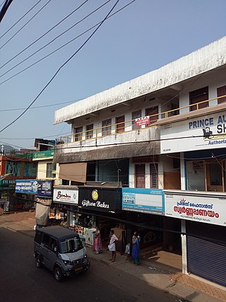
Padiyoor is a small town in Kannur district of Kerala state, India. Padiyoor village is part of Padiyoor-Kalliad Grama Panchayat in Iritty taluk.

Peravoor is a town and Grama Panchayat in Kannur district of Kerala state in India. It is located 50 km (31 mi) east of Kannur and 40 km (25 mi) north east of Thalassery. And Iritty, the nearest municipality is 14 km (8.7 mi) north of Peravoor. Peravoor is situated in the Western Ghats mountain range.

Ulikkal is a growing town in Kannur District in Kerala. It is the HQ of Ulikkal Grama Panchayat in Iritty Taluk. Kerala State Hill highway SH 59 passes through Ulikkal Town.

Panniyannur is a census town in Thalassery taluk of Kannur district in the Indian state of Kerala. It is part of Greater Mahé Region.

Peralasseri is a census town and Panchayat headquarters in Kannur district in the Indian state of Kerala, situated on the Kannur-Kuthuparamba State Highway 38 (Kerala), 12 km from Kannur city, on the bank of Anjarakandy river.
Mangattidam is a census town and a panchayat situated near Kuthuparamba in Thalassery taluk, Kannur district, Kerala, India.

Anjarakandy is a census town and grama panchayat in Kannur district of Kerala, India. Anjarakandy river is flowing through Anjarakandy town.
Koodali is a census town and grama panchayat in Thalassery taluk of Kannur district in Kerala state, India. Koodali is located 15.5 km (9.6 mi) east of Kannur city on Kannur-Mattanur road.

Kelakam is a small town and Grama Panchayat located in the south eastern part of Kannur district in Kerala state, India.

Aralam is a village and Grama Panchayat in Kannur district in the Indian state of Kerala.

Kanichar is a village and Grama Panchayat in Kannur district in the Indian state of Kerala.

Karivellur is a census town and Gram Panchayat in Kannur district of Kerala state, India.

Kurumathur is a census town in Taliparamba taluk of Kannur district in Kerala state, India. Kurumathur is located 8 km (5.0 mi) east of Taliparamba town in SH 36.

Manathana is a village in Peravoor Grama Panchayat of Kannur district, Kerala, India.
Mokeri is a census town in Mokeri panchayat of Kannur district in the Indian state of Kerala.

Muzhakkunnu is a Village and Grama Panchayat in Kannur district in the Indian state of Kerala.
Thrippangottur is a Village and a Grama Panchayat in Kannur district in the Indian state of Kerala.
Vayathur is a village in Ulikkal Grama panchayat of Kannur district in the Indian state of Kerala.

Chapparapadavu is a Grama panchayat in Kannur district in the Indian state of Kerala. Chapparapadavu Panchayat have administration over the villages of Kooveri, Thimiri and Vellad.
Kolachery is a census town and Grama Panchayat in Kannur District of Kerala state, India. Kolachery is located 15 kilometres (9.3 mi) north east of Kannur city.


