Rainbow Beach, Queensland

Last updated

Rainbow Beach
Queensland
Rainbow Beach, Queensland.jpg
Rainbow Beach, Queensland, 2013
Australia Queensland location map.svg
Red pog.svg
Rainbow Beach
Coordinates 25°54′27″S153°05′20″E / 25.9075°S 153.0888°E / -25.9075; 153.0888 (Rainbow Beach (town centre))
Population1,220 (2021 census) [1]
 • Density85.3/km2 (221.0/sq mi)
Established1969
Postcode(s) 4581
Elevation14 m (46 ft)
Area14.3 km2 (5.5 sq mi)
Time zone AEST (UTC+10:00)
Location
LGA(s) Gympie Region
State electorate(s) Gympie
Federal division(s) Wide Bay
Mean max tempMean min tempAnnual rainfall
25.4 °C
78 °F
16.6 °C
62 °F
1,218.2 mm
48 in
Localities around Rainbow Beach:
Inskip Inskip Coral Sea
Cooloola Rainbow Beach Coral Sea
Cooloola Cooloola Cooloola

Rainbow Beach is a coastal rural town and locality in the Gympie Region, Queensland, Australia. [2] [3] In the 2021 census, the locality of Rainbow Beach had a population of 1,220 people. [1]

Contents

It is a popular tourist destination, both in its own right and as a gateway to Fraser Island, with a vehicle ferry frequently running to the Southern point of Fraser Island.

Geography

Rainbow Beach is bounded to the east by Wide Bay in the Coral Sea. [4]

The town's name derives from the rainbow-coloured sand dunes surrounding the settlement. According to the legends of the Kabi people, the dunes were coloured when Yiningie, a spirit represented by a rainbow, plunged into the cliffs after doing battle with an evil tribesman. [5] Much of the sand colours stem from the rich content of minerals in the sand, such as rutile, ilmenite, zircon, and monazite. A black dune of ilmenite sands, overgrown by dune vegetation, can be found north west of the main town. This is currently being removed for sale in China with complete removal expected to take two years.[ citation needed ]

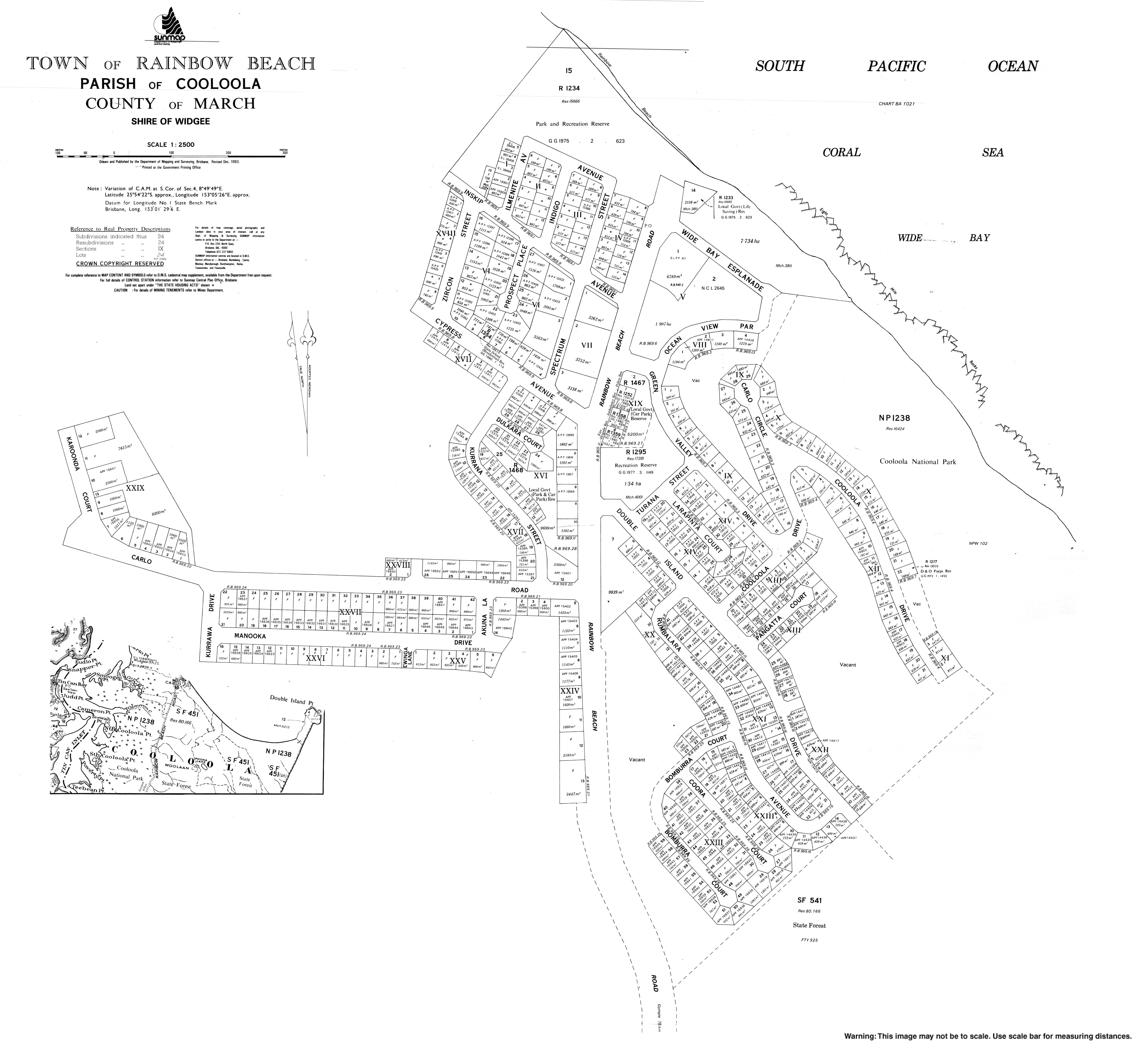
The Cooloola Section of the Great Sandy National Park borders the town to the south. A number of walking tracks through the national park depart from the southern outskirts of Rainbow Beach. [6] This includes the northern end point of the Cooloola Great Walk. [7]

By road, Rainbow Beach is located 75 kilometres (47 mi) from the Bruce Highway town of Gympie, and 239 kilometres (149 mi) from the Queensland state capital, Brisbane.

History

Propeller from the wrecked ship Cherry Venture, saved and displayed at Rainbow Beach, 2016 Propeller from the wrecked ship Cherry Venture, saved and displayed at Rainbow Beach, 2016.jpg
Propeller from the wrecked ship Cherry Venture, saved and displayed at Rainbow Beach, 2016
War memorial, "In memory of those who gave their lives from the Great War onwards", 2016 War memorial, Rainbow Beach, 2016.jpg
War memorial, "In memory of those who gave their lives from the Great War onwards", 2016

The town's war memorial commemorating those who died in the World War I and subsequent conflicts was refurbished in 1993 and is also located in Laurie Hanson Park. [8]

Rainbow Beach State School opened on 28 January 1986. [9]

The Anglican Church of the Good Shepherd opened on 15 September 1993. The church and hall were relocated from Yeronga in Brisbane in a 15-hour journey and re-erected in Rainbow Beach. The church had operated in Yeronga under the same name from 1958 to 1992. [10] [11] [12]

Rainbow Beach Library was opened in 2012. [13]

Demographics

In the 2011 census, the locality of Rainbow Beach had a population of 1,103 people. [14]

In the 2016 census, the locality of Rainbow Beach had a population of 1,249 people. [15]

In the 2021 census, the locality of Rainbow Beach had a population of 1,220 people. [1]

Economy

The town's economy is now dominated by tourism, featuring quiet and idyllic holidays, fishing and retirement getaway. The town caters to beach-orientated holiday-makers with hotels, motels, and caravan parks. The town promotes itself as the "Gateway to Fraser Island" as vehicular ferries for Fraser Island depart from Inskip Point, north of town. Double Island Point, a popular destination amongst 4WD enthusiasts, is located east of town. It is also promoted as an eco-tourism destination.

Although it has a permanent population of about 1,000, about 70,000 visitors come to the town each year. [16]

Created as a means of driving tourism off-season, Rainbow Beach Family Fishing Classic & Expo has been a popular event for nearly 40 years.[ citation needed ]

Community Facilities

Gympie Regional Council operates Rainbow Beach Library at Rainbow Beach Community Hall, 32 Rainbow Beach Road ( 25°54′16″S153°05′25″E / 25.9045°S 153.0902°E / -25.9045; 153.0902 (Rainbow Beach Library) ). [17]

The Anglican Church of the Good Shepherd is at 17-19 Carlo Street ( 25°54′27″S153°05′13″E / 25.9075°S 153.0870°E / -25.9075; 153.0870 (Anglican Church of The Good Shepherd) ). [18]

St Peter the Fisherman Catholic Church is at the south-east end of Manooka Drive ( 25°54′38″S153°05′19″E / 25.9105°S 153.0887°E / -25.9105; 153.0887 (St Peter the Fisherman Catholic Church) ). [19]

Education

Rainbow Beach State School is a government primary (Prep–6) school for boys and girls at Warooga Road ( 25°54′26″S153°04′43″E / 25.9073°S 153.0787°E / -25.9073; 153.0787 (Rainbow Beach State School) ). [20] [21] In 2017, the school had an enrolment of 93 students with 8 teachers (6 full-time equivalent) and 5 non-teaching staff (4 full-time equivalent). [22]

Related Research Articles

<span class="mw-page-title-main">Kedron, Queensland</span> Suburb of Brisbane, Queensland, Australia

Kedron is a northern suburb in the City of Brisbane, Queensland, Australia. It is home to the Queensland Fire and Emergency Services headquarters. In the 2021 census, Kedron had a population of 9,907 people.

<span class="mw-page-title-main">Landsborough, Queensland</span> Town in Queensland, Australia

Landsborough is a town and a locality in the Sunshine Coast Region, Queensland, Australia. In the 2021 census, the locality of Landsborough had a population of 4,446 people.

<span class="mw-page-title-main">Coolum Beach, Queensland</span> Town in Queensland, Australia

Coolum Beach is a beachside town and coastal suburb in the Sunshine Coast Region, Queensland, Australia. In the 2021 census, the suburb of Coolum Beach had a population of 9,152 people.

<span class="mw-page-title-main">Goomeri</span> Town in Queensland, Australia

Goomeri is a rural town and locality in the Gympie Region, Queensland, Australia. In the 2021 census, the locality of Goomeri had a population of 677 people.

<span class="mw-page-title-main">Noosaville</span> Town in Queensland, Australia

Noosaville is a town and suburb in Noosa in the Shire of Noosa, Queensland, Australia. In the 2021 census, the suburb of Noosaville had a population of 8,716 people.

<span class="mw-page-title-main">Tin Can Bay, Queensland</span> Town in Queensland, Australia

Tin Can Bay is a coastal town and locality in the Wide Bay–Burnett region in Queensland, Australia. The locality is split between the Fraser Coast Region and the Gympie Region, but the town itself is within Gympie Region. In the 2021 census, the locality of Tin Can Bay had a population of 2,293 people.

<span class="mw-page-title-main">Gympie Region</span> Local government area in Queensland, Australia

The Gympie Region is a local government area in the Wide Bay–Burnett region of Queensland, Australia, about 170 kilometres (110 mi) north of Brisbane, the state capital. It is between the Sunshine Coast and Hervey Bay and centred on the town of Gympie. It was created in 2008 from a merger of the Shires of Cooloola and Kilkivan and part of the Shire of Tiaro.

Araluen is a residential locality in Gympie in the Gympie Region, Queensland, Australia. In the 2021 census, Araluen had a population of 649 people.

Southside is a semi-rural locality in the Gympie Region, Queensland, Australia. In the 2021 census, Southside had a population of 6,312 people.

<span class="mw-page-title-main">Brooloo, Queensland</span> Town in Queensland, Australia

Brooloo is a rural town and locality in the Gympie Region, Queensland, Australia. In the 2021 census, the locality of Brooloo had a population of 369 people.

<span class="mw-page-title-main">Imbil</span> Town in Queensland, Australia

Imbil is a rural town and locality in the Gympie Region, Queensland, Australia. In the 2021 census, the locality of Imbil had a population of 1,071 people.

<span class="mw-page-title-main">Theebine</span> Town in Queensland, Australia

Theebine is a rural town and locality split between the Gympie Region and the Fraser Coast Region, both in Queensland, Australia.

<span class="mw-page-title-main">Gunalda</span> Town in Queensland, Australia

Gunalda is a rural town in the Gympie Region and a locality split between Gympie Region and Fraser Coast Region in Queensland, Australia. In the 2021 census, the locality of Gunalda had a population of 426 people.

<span class="mw-page-title-main">Wide Bay–Burnett</span> Region in Queensland, Australia

Wide Bay–Burnett is a region of the Australian state of Queensland, located between 170–400 km (110–250 mi) north of the state capital, Brisbane. The area's population growth has exceeded the state average over the past 20 years, and it is forecast to grow to more than 430,000 by 2031. It is the subject of the Draft Wide Bay–Burnett Regional Plan, which aims to facilitate this growth while protecting over 90% of the region from urban development.

<span class="mw-page-title-main">Tinana, Queensland</span> Town in Queensland, Australia

Tinana is a rural town and locality in the Fraser Coast Region, Queensland, Australia. In the 2021 census, the locality of Tinana had a population of 5,872 people.

<span class="mw-page-title-main">Torbanlea</span> Town in Queensland, Australia

Torbanlea is a rural town and locality in the Fraser Coast Region, Queensland, Australia. In the 2021 census, the locality of Torbanlea had a population of 841 people.

Cooloola Cove is a coastal locality in the Gympie Region, Queensland, Australia. In the 2021 census, Cooloola Cove had a population of 2,921 people.

<span class="mw-page-title-main">Toolara Forest, Queensland</span> Suburb of Gympie Region, Queensland, Australia

Toolara Forest is a locality split between Gympie Region and Fraser Coast Region, Queensland, Australia. In the 2021 census, Toolara Forest had "no people or a very low population".

<span class="mw-page-title-main">Munna Creek</span> Suburb of Fraser Coast Region, Queensland, Australia

Munna Creek is a locality split between the Fraser Coast Region and the Gympie Region, in Queensland, Australia. In the 2021 census, Munna Creek had a population of 22 people.

<span class="mw-page-title-main">Inskip, Queensland</span> Suburb of Gympie Region, Queensland, Australia

Inskip is a coastal locality in the Gympie Region, Queensland, Australia. Inskip Point at the north of the locality is a vehicular gateway to Fraser Island. In the 2021 census, Inskip had a population of 22 people.

References

  1. 1 2 3 Australian Bureau of Statistics (28 June 2022). "Rainbow Beach (SAL)". 2021 Census QuickStats. Retrieved 28 February 2023. OOjs UI icon edit-ltr-progressive.svg
  2. "Rainbow Beach – town in Gympie Region (entry 27922)". Queensland Place Names. Queensland Government . Retrieved 16 November 2019.
  3. "Rainbow Beach – locality in Gympie Region (entry 47617)". Queensland Place Names. Queensland Government . Retrieved 16 November 2019.
  4. "Queensland Globe". State of Queensland . Retrieved 13 January 2021.
  5. Hues of a rainbow Archived 15 April 2006 at the Wayback Machine , Sydney Morning Herald . Retrieved 30 August 2006.
  6. Travel: Rainbow Beach Archived 15 April 2006 at the Wayback Machine , Sydney Morning Herald. Retrieved 30 August 2006.
  7. Jo Skinner (29 March 2010). "$1.3m Cooloola Great Walk opens". ABC News. Archived from the original on 17 November 2010. Retrieved 22 July 2010.
  8. "Rainbow Beach War Memorial". Queensland War Memorial Register. Queensland Government. Archived from the original on 31 March 2016. Retrieved 20 July 2016.
  9. Queensland Family History Society (2010), Queensland schools past and present (Version 1.01 ed.), Queensland Family History Society, ISBN   978-1-921171-26-0
  10. "Closed Churches". Anglican Church of Southern Queensland. Archived from the original on 3 April 2019. Retrieved 24 February 2019.{{cite web}}: CS1 maint: unfit URL (link)
  11. "Church of the Good Shepherd Celebrates". Rainbow Beach Cooloola Coast Community News. October 2013. p. 18. Archived from the original on 15 September 2020. Retrieved 15 September 2020.
  12. "Celebrating 25 years". Rainbow Beach Community News. 22 October 2018. Archived from the original on 15 September 2020. Retrieved 15 September 2020.
  13. "Public Libraries Statistical Bulletin 2016-17" (PDF). Public Libraries Connect. State Library of Queensland. November 2017. p. 13. Archived (PDF) from the original on 30 January 2018. Retrieved 31 January 2018.
  14. Australian Bureau of Statistics (31 October 2012). "Rainbow Beach (State Suburb)". 2011 Census QuickStats. Retrieved 21 October 2014. OOjs UI icon edit-ltr-progressive.svg
  15. Australian Bureau of Statistics (27 June 2017). "Rainbow Beach (SSC)". 2016 Census QuickStats. Retrieved 20 October 2018. OOjs UI icon edit-ltr-progressive.svg
  16. "Rainbow Beach Foreshore: Park Development Plan" (PDF). Gympie Regional Council. Archived (PDF) from the original on 20 August 2016. Retrieved 20 July 2016.
  17. "Rainbow Beach Library". Public Libraries Connect. State Library of Queensland. 27 April 2017. Archived from the original on 31 January 2018. Retrieved 31 January 2018.
  18. "Anglican Church Gympie & Region - Places". Anglican Parish of Gympie. Archived from the original on 15 September 2020. Retrieved 15 September 2020.
  19. "St Peter the Fisherman Church, Rainbow Beach". Roman Catholic Archdiocese of Brisbane. Archived from the original on 15 September 2020. Retrieved 15 September 2020.
  20. "State and non-state school details". Queensland Government. 9 July 2018. Archived from the original on 21 November 2018. Retrieved 21 November 2018.
  21. "Rainbow Beach State School". Archived from the original on 15 September 2020. Retrieved 21 November 2018.
  22. "ACARA School Profile 2017". Archived from the original on 22 November 2018. Retrieved 22 November 2018.