Seba Dalkai, Arizona

Last updated

Seba Dalkai, Arizona
CDP
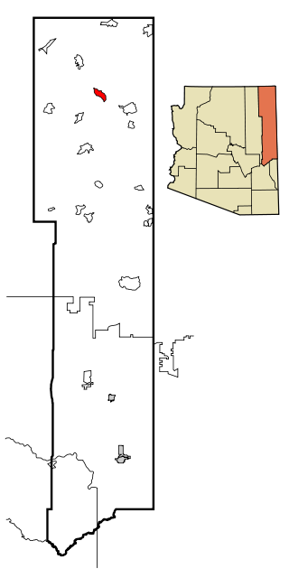
USA Arizona location map.svg
Red pog.svg
Seba Dalkai
Location within the state of Arizona
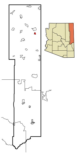
Usa edcp location map.svg
Red pog.svg
Seba Dalkai
Seba Dalkai (the United States)
Coordinates: 35°28′54″N110°27′22″W / 35.48167°N 110.45611°W / 35.48167; -110.45611 Coordinates: 35°28′54″N110°27′22″W / 35.48167°N 110.45611°W / 35.48167; -110.45611
CountryUnited States
State Arizona
County Navajo
Area
[1]
  Total15.13 sq mi (39.19 km2)
  Land15.13 sq mi (39.19 km2)
  Water0.00 sq mi (0.00 km2)
Elevation
[2]
5,915 ft (1,803 m)
Population
 (2020)
  Total126
  Density8.33/sq mi (3.22/km2)
Time zone UTC-7 (MST)
Area code(s) 928
FIPS code 04-65167
GNIS feature ID 2582863

Seba Dalkai is a census-designated place (CDP) located in Navajo County, Arizona, United States. The population was 136 at the 2010 census.

Contents

Geography

Seba Dalkai is located at 35°28′54″N110°27′22″W / 35.48167°N 110.45611°W / 35.48167; -110.45611 (35.481534, −110.456184). According to the United States Geological Survey, the CDP has a total area of 15.13 square miles (39.2 km2), all land. [2] [3]

Demographics

Historical population
CensusPop.
2020 126
U.S. Decennial Census [4]

As of the 2010 census, there were 136 people living in the CDP: 63 male and 73 female. 31 were 19 years old or younger, 29 were ages 20–34, 24 were between the ages of 35 and 49, 28 were between 50 and 64, and the remaining 24 were aged 65 and above. The median age was 54.7 years.

The racial makeup of the CDP was 93.4% Indian and 6.6% White.

There were 48 households in the CDP, 25 family households (52.1%) and 23 non-family households (47.9%), with an average household size of 2.83. Of the family households, 19 were married couples living together, while there was 1 single father and 5 single mothers; the non-family households included 22 adults living alone: 12 male and 10 female.

The CDP contained 57 housing units, of which 48 were occupied and 9 were vacant. [5]

As of July 2016, the average home value in Seba Dalkai was $104,861. The average household income was $35,954, with a per capita income of $10,227. [3]

Related Research Articles

Houck, Arizona CDP in Apache County, Arizona

Houck is a census-designated place (CDP) in Apache County, Arizona, United States. The population was 1,024 at the 2010 census.

Mountainaire, Arizona CDP in Coconino County, Arizona

Mountainaire is a census-designated place (CDP) in Coconino County, Arizona, United States. The population was 1,119 at the 2010 census.

Winslow West, Arizona CDP in Coconino County, Arizona

Winslow West is a census-designated place (CDP) in Coconino and Navajo counties in Arizona, United States. The population was 438 at the 2010 census. The entire community is off-reservation trust land belonging to the Hopi tribe. It lies just west of the city of Winslow, and more than 50 km (31 mi) south of the main Hopi reservation.

Central Heights-Midland City, Arizona CDP in Gila County, Arizona

Central Heights-Midland City is an unincorporated community and census-designated place (CDP) in Gila County, Arizona, United States. The area is home to the Pinal Cemetery which serves the community in gereneral but also contains Croatian and Serbian dedicated sections. The Gila County Health and Human Services offices are located within the region. One of the communities few nurseries is located along Golden Hill Road, a notable road in the Central Heights-Midland City area. The population was 2,534 at the 2010 census.

Greasewood, Arizona CDP in Navajo County, Arizona

Greasewood is a census-designated place (CDP) in Navajo County, Arizona, United States. The population was 547 at the 2010 census.

Pinon, Arizona Place in Arizona, United States

Pinon is a census-designated place (CDP) in Navajo County, Arizona, United States, and located in the Navajo Nation. The population was 904 at the 2010 census.

Shonto, Arizona CDP in Navajo County, Arizona

Shonto is a census-designated place (CDP) in Navajo County, Arizona, United States. The population was 591 at the 2010 census.

Ford City, California census-designated place in California, United States

Ford City is a census-designated place (CDP) in Kern County, California, United States. Ford City is located 1 mile (1.61 km) north of Taft, at an elevation of 892 feet (272 m). The population was 4,278 at the 2010 census, up from 3,512 at the 2000 census. It is immediately north of Taft, between the huge Midway-Sunset Oil Field to the southwest, and the almost exhausted Buena Vista Oil Field to the northeast. State Route 119 passes east of town from its junction with SR 33 to the south.

South Taft, California census-designated place in California, United States

South Taft is a census-designated place (CDP) in Kern County, California, United States. South Taft is located 0.5 miles (0.8 km) south of Taft, at an elevation of 1,017 feet (310 m). The population was 2,169 at the 2010 census, up from 1,898 at the time of the 2000 census.

Concordia, New Jersey Census-designated place in New Jersey, United States

Concordia is an unincorporated community and census-designated place (CDP) located within Monroe Township, in Middlesex County, New Jersey, United States. The CDP is oriented around the age restricted gated community of Concordia. As of the 2010 United States Census, the CDP's population was 3,092.

Oljato-Monument Valley, Arizona CDP in Navajo County, Arizona

Oljato-Monument Valley is a census-designated place (CDP) in Navajo County, Arizona, United States. The population was 154 at the 2010 census.

Crystal Beach, Arizona CDP in Arizona, United States

Crystal Beach is a census-designated place (CDP) in Mohave County, Arizona, United States. The population was 279 at the 2010 census.

Hard Rock, Arizona CDP in Arizona, United States

Hard Rock is a census-designated place (CDP) in Navajo County, Arizona, United States. The population was 94 at the 2010 census.

Elephant Head, Arizona CDP in Pima County, Arizona

Elephant Head is a census-designated place (CDP) in Pima County, Arizona, United States. The population was 612 at the 2010 census.

Low Mountain, Arizona CDP in Navajo County, Arizona

Low Mountain is a census-designated place (CDP) in Navajo County, Arizona, United States. The population was 757 at the 2010 census.

Nelson, Pima County, Arizona CDP in Pima County, Arizona

Nelson is a census-designated place (CDP) in Pima County, Arizona, United States. The population was 259 at the 2010 census.

North Fork, Arizona CDP in Arizona, United States

North Fork is a census-designated place (CDP) in Navajo County, Arizona, United States, on the Fort Apache Indian Reservation. The population was 1,417 at the 2010 census.

Pimaco Two, Arizona CDP in Pima County, Arizona

Pimaco Two is a census-designated place (CDP) located in Pima County, Arizona, United States. The population was 682 at the 2010 census.

Pine Lake, Arizona CDP in Arizona, United States

Pine Lake is a census-designated place (CDP) located in Mohave County, Arizona, United States. The population was 138 at the 2010 census.

Pinion Pines, Arizona CDP in Arizona, United States

Pinion Pines is a census-designated place (CDP) located in Mohave County, Arizona, United States. The population was 186 at the 2010 census.

References

  1. "2020 U.S. Gazetteer Files". United States Census Bureau. Retrieved October 29, 2021.
  2. 1 2 "Feature Detail Report for: Seba Dalkai Census Designated Place". Geographic Names Information System . United States Geological Survey.
  3. 1 2 "Seba Dalkai CDP, Arizona – Basic Facts". AZ Hometown Locator. Retrieved March 11, 2017.
  4. "Census of Population and Housing". Census.gov. Retrieved June 4, 2016.
  5. "American FactFinder: Seba Dalkai CDP, Arizona". United States Census Bureau. Archived from the original on February 13, 2020. Retrieved March 11, 2017.