Pinon, Arizona

Last updated • 2 min readFrom Wikipedia, The Free Encyclopedia

Pinon, Arizona
Navajo County Arizona Incorporated and Unincorporated areas Pinon Highlighted 0456120.svg
Location of Pinon in Navajo County, Arizona.
USA Arizona location map.svg
Red pog.svg
Piñon
Location in the United States
Usa edcp location map.svg
Red pog.svg
Piñon
Piñon (the United States)
Coordinates: 36°06′45″N110°13′08″W / 36.11250°N 110.21889°W / 36.11250; -110.21889
Country Flag of the United States (23px).png  United States
State Flag of Arizona.svg  Arizona
Counties Navajo
Area
[1]
  Total6.49 sq mi (16.82 km2)
  Land6.48 sq mi (16.79 km2)
  Water0.01 sq mi (0.03 km2)
Elevation
[2]
6,336 ft (1,931 m)
Population
 (2020)
  Total1,084
  Density167.21/sq mi (64.56/km2)
Time zone UTC-7 (MST)
ZIP code
86510 [3]
Area code 928
FIPS code 04-56120
GNIS feature ID2409075 [2]

Pinon (Navajo : Beʼekʼid Baa Ahoodzání) is a census-designated place (CDP) in Navajo County, Arizona, United States, and located in the Navajo Nation. The population was 904 at the 2010 census.

Contents

Geography

According to the United States Census Bureau, the CDP has a total area of 6.4 square miles (17 km2), all land.

Demographics

Historical population
CensusPop.Note
2000 1,190
2010 904−24.0%
2020 1,08419.9%
U.S. Decennial Census [4]

As of the census [5] of 2000, there were 1,190 people, 296 households, and 240 families living in the CDP. The population density was 184.9 inhabitants per square mile (71.4/km2). There were 372 housing units at an average density of 57.8 units per square mile (22.3 units/km2). The racial makeup of the CDP was 91.9% Native American, 7.7% White, 0.3% from other races, and 0.1% from two or more races. 2.0% of the population were Hispanic or Latino of any race. Navajo people make up a majority of the population in Pinon, with other being Hopi and Caucasian people.

There were 296 households, out of which 58.1% had children under the age of 18 living with them, 53.4% were married couples living together, 25.0% had a female householder with no husband present, and 18.9% were non-families. 18.6% of all households were made up of individuals, and 2.0% had someone living alone who was 65 years of age or older. The average household size was 4.02 and the average family size was 4.69.

In the CDP, the population was spread out, with 46.3% under the age of 18, 11.3% from 18 to 24, 27.0% from 25 to 44, 12.9% from 45 to 64, and 2.5% who were 65 years of age or older. The median age was 20 years. For every 100 females, there were 98.0 males. For every 100 females age 18 and over, there were 85.8 males.

The nucleus income for a household in the CDP was $19,271, and the median income for a family was $23,393. Males had a median income of $16,471 versus $27,000 for females. The per capita income for the CDP was $6,045. About 52.1% of families and 53.7% of the population were below the poverty line, including 54.7% of those under age 18 and 100.0% of those age 65 or over.

Education

Piñon Unified School District serves the area. Piñon Elementary School, Piñon Middle School, and Piñon High School serve the area.

The Bureau of Indian Education (BIE) operates the Jeehdeez'a Academy, Inc., in an area with a Piñon postal address. [6]

See also

Related Research Articles

<span class="mw-page-title-main">Lukachukai, Arizona</span> CDP in Apache County, Arizona

Lukachukai is a census-designated place (CDP) in Apache County, Arizona, United States. The population was 1,701 at the 2010 census. It is within the Navajo Nation.

<span class="mw-page-title-main">Rock Point, Arizona</span> CDP in Apache County, Arizona

Rock Point is a census-designated place (CDP) in Apache County, Arizona, United States. The population was 642 at the 2010 census. Its name is descriptive of the point where Chinle Creek enters high sandstone walls.
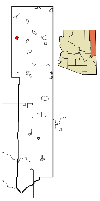
<span class="mw-page-title-main">Rough Rock, Arizona</span> CDP in Apache County, Arizona

Rough Rock is a census-designated place (CDP) in Apache County, Arizona, United States. The population was 414 at the 2010 census.
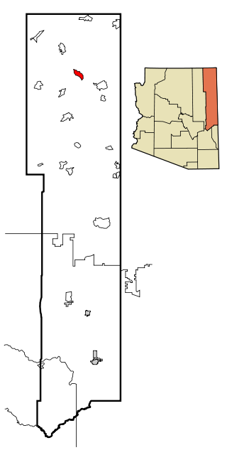
<span class="mw-page-title-main">Round Rock, Arizona</span> CDP in Apache County, Arizona

Round Rock is a Navajo community and census-designated place (CDP) in Apache County, Arizona, United States. The population was 789 at the 2010 census. It is named after a nearby mesa.

<span class="mw-page-title-main">Sawmill, Arizona</span> CDP in Apache County, Arizona

Sawmill is a census-designated place (CDP) in Apache County, Arizona, United States. Sawmill is a part of Fort Defiance Agency, which is on the Navajo Nation. The population was 748 at the 2010 census. It is named after and developed around a sawmill. A trading post has been present since 1907.

<span class="mw-page-title-main">Steamboat, Arizona</span> CDP in Apache County, Arizona

Steamboat is a census-designated place (CDP) in Apache County, Arizona, United States, that includes Steamboat Canyon and Steamboat Trading Post. The population was 284 at the 2010 census.
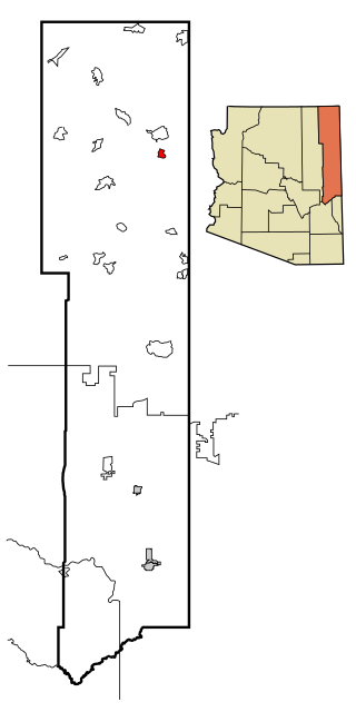
<span class="mw-page-title-main">Tsaile, Arizona</span> Census-designated place in Arizona, United States

Tsaile is a census-designated place (CDP) in Apache County, Arizona, United States, on the Navajo Nation. The population was 1,205 at the 2010 census.

<span class="mw-page-title-main">Bitter Springs, Arizona</span> Census-designated place in Coconino County, Arizona

Bitter Springs is a native village and census-designated place (CDP) on the Navajo Nation in Coconino County, Arizona, United States. As of the 2020 census, the CDP population was 364

<span class="mw-page-title-main">Kaibito, Arizona</span> CDP in Apache County, Arizona

Kaibeto is a census-designated place (CDP) in Coconino County, Arizona, United States. The population was 1,522 at the 2010 census.

<span class="mw-page-title-main">LeChee, Arizona</span> CDP in Coconino County, Arizona

LeChee is a census-designated place (CDP) in Coconino County, Arizona, United States. The population was 1,443 at the 2010 census.

<span class="mw-page-title-main">Tonalea, Arizona</span> CDP in Coconino County, Arizona

Tonalea is a census-designated place (CDP) in Coconino County, Arizona, United States. The population was 549 at the 2010 census. It has also been known as Red Lake.

<span class="mw-page-title-main">Winslow West, Arizona</span> CDP in Coconino County, Arizona

Winslow West is a census-designated place (CDP) in Navajo and Coconino counties in Arizona, United States. The population was 438 at the 2010 census. The entire community is off-reservation trust land belonging to the Hopi Tribe of Arizona. It lies just west of the city of Winslow, and is more than 50 km (31 mi) south of the main Hopi Reservation.

<span class="mw-page-title-main">Chilchinbito, Arizona</span> CDP in Navajo County, Arizona

Chilchinbito is a town located on the Navajo Nation, whose lands spans four state boundary lines in the Four Corners region of the United States. The town of Chilchinbito is a census-designated place (CDP) specifically in Navajo County, Arizona, United States. The population was 506 at the 2010 census. Chilchinbito is also considered to be the source of coronavirus infections on the Navajo Nation, possibly traced to the annual meeting of the Church of the Nazarene's numerous branches, on March 7, 2020. COVID-19 federal relief funds for medical care on the Navajo Nation were being redirected to a non-Native for-profit corporation, and a legal suit is pending.

<span class="mw-page-title-main">Greasewood, Arizona</span> CDP in Navajo County, Arizona

Greasewood is a census-designated place (CDP) in Navajo County, Arizona, United States. The population was 547 at the 2010 census.

<span class="mw-page-title-main">Jeddito, Arizona</span> CDP in Navajo County, Arizona

Jeddito is a census-designated place (CDP) in Navajo County, Arizona, United States. The population was 293 at the 2010 census.

<span class="mw-page-title-main">Shongopovi, Arizona</span> CDP in Navajo County, Arizona

Shongopovi is a census-designated place (CDP) in Navajo County, Arizona, United States. It is located on the Second Mesa, within the Hopi Reservation.

<span class="mw-page-title-main">Shonto, Arizona</span> CDP in Navajo County, Arizona

Shonto is a census-designated place (CDP) in Navajo County, Arizona, United States, in the Navajo Nation. The population was 591 at the 2010 census.

<span class="mw-page-title-main">Tse Bonito, New Mexico</span> CDP in New Mexico, United States

Tse Bonito is a census-designated place (CDP) in McKinley County, New Mexico, United States and is part of the greater Window Rock, Arizona population center, and seat of the Navajo Nation government. The population was 261 at the 2000 census.

<span class="mw-page-title-main">Oljato-Monument Valley, Arizona</span> CDP in Navajo County, Arizona

Oljato-Monument Valley is a census-designated place (CDP) in Navajo County, Arizona, United States. The population was 154 at the 2010 census.

<span class="mw-page-title-main">Sanders, Arizona</span> CDP in Apache County, Arizona

Sanders is a census-designated place (CDP) in Apache County, Arizona, United States. Sanders is located at the junction of U.S. Route 191 and Interstate 40. As of the 2020 census, it had a population of 575.

References

  1. "2020 U.S. Gazetteer Files". United States Census Bureau. Retrieved October 29, 2021.
  2. 1 2 U.S. Geological Survey Geographic Names Information System: Pinon, Arizona
  3. "Pinon AZ ZIP Code". zipdatamaps.com. 2023. Retrieved February 17, 2023.
  4. "Census of Population and Housing". Census.gov. Retrieved June 4, 2016.
  5. "U.S. Census website". United States Census Bureau . Retrieved January 31, 2008.
  6. "National Directory June 2015" (Archive). Bureau of Indian Education. p. 16/44. Retrieved on June 16, 2015.

Commons-logo.svg Media related to Pinon, Arizona at Wikimedia Commons