White Mountain Lake, Arizona | |
|---|---|
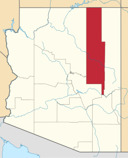
 Location of White Mountain Lake in Navajo County, Arizona. | |
| Coordinates: 34°21′52″N109°59′25″W / 34.36444°N 109.99028°W | |
| Country | United States |
| State | Arizona |
| County | Navajo |
| Area | |
• Total | 24.35 sq mi (63.06 km2) |
| • Land | 24.04 sq mi (62.26 km2) |
| • Water | 0.31 sq mi (0.80 km2) |
| Elevation | 6,132 ft (1,869 m) |
| Population (2010) | |
• Total | 2,205 |
| Time zone | UTC-7 (Mountain (MST)) |
| ZIP code | 85912 |
| Area code | 928 |
| GNIS feature ID | 2582903 [2] |
White Mountain Lake is a private reservoir owned by the Silver Creek Irrigation District, and leased by the surrounding community for their private recreational use. The reservoir is located within White Mountain Lake Estates, an unincorporated community and census-designated place in Navajo County, Arizona, United States. [2] Use of the reservoir is restricted to property owners within this special use district.
Contents
The community of White Mountain Lake is 7.5 miles (12.1 km) north-northeast of Show Low. White Mountain Lake has a post office with ZIP code 85912. [3]


