Taylor | |
|---|---|
| Taylor, Arizona | |
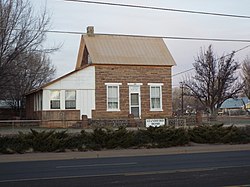 Aguila Standifird House-1890 | |
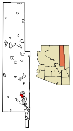 Location of Taylor in Navajo County, Arizona | |
 Taylor Location in the United States | |
| Coordinates: 34°27′57″N110°6′16″W / 34.46583°N 110.10444°W | |
| Country | |
| State | |
| County | Navajo |
| Established | 1878 |
| Founded by | James Pearce |
| Government | |
| • Type | Council-Manager |
| • Body | Taylor Town Council |
| • Mayor | Shawn Palmer |
| Area | |
• Total | 32.68 sq mi (84.65 km2) |
| • Land | 32.66 sq mi (84.60 km2) |
| • Water | 0.023 sq mi (0.06 km2) |
| Elevation | 5,761 ft (1,756 m) |
| Population (2020) | |
• Total | 3,995 |
| • Density | 122.3/sq mi (47.22/km2) |
| Time zone | UTC-7 (Mountain) |
| • Summer (DST) | UTC−7 (no DST/PDT) |
| ZIP code | 85939 |
| Area code | 928 |
| FIPS code | 04-72420 |
| GNIS ID(s) | 2413369 [2] |
| Website | Town of Taylor |
Taylor is a town in Navajo County, Arizona, United States. It was founded by settlers of The Church of Jesus Christ of Latter-day Saints in January 1878, several months before the neighboring community of Snowflake. Taylor straddles Silver Creek, flowing from the nearby White Mountains to the Little Colorado River on Arizona's Colorado Plateau. According to the 2010 census, the population of the town is 4,112. The town was named for John Taylor, the third president of the Church of Jesus Christ of Latter-day Saints. [3] There is no postal home delivery in Taylor; residents within a certain radius of the Post Office who produce proof of Taylor residency are allocated a small PO box free of charge.
