Padiyoor is a small town in Kannur district of Kerala state, India. Padiyoor village is part of Padiyoor-Kalliad Grama Panchayat in Iritty taluk.
Irikkur is a town and grama panchayat in Kannur District of Kerala state, India.

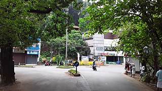
Peravoor is a town and Grama Panchayat in Kannur district of Kerala state in India. It is located 50 km (31 mi) east of Kannur and 40 km (25 mi) north east of Thalassery. And Iritty, the nearest municipality is 14 km (8.7 mi) north of Peravoor. Peravoor is situated in the Western Ghats mountain range.

Ulikkal is a growing town in Kannur District in Kerala. It is the HQ of Ulikkal Grama Panchayat in Iritty Taluk. Kerala State Hill highway SH 59 passes through Ulikkal Town.
Anapanthy is a town in Ayyankunnu Panchayat of Kannur district, Kerala, India.

Mayyil is a Census Town and Grama Panchayat in Kannur District of Kerala State. Mayyil Panchayat established in 1962 by merging the villages of Kayaralam, Mayyil and Kandakkai.
Kelakam is a small town and Grama Panchayat located in the south eastern part of Kannur district in Kerala state, India.

Naduvil is a small town in Kannur district in the Indian State of Kerala. The town is the headquarters of Naduvil Grama panchayat.

Cherupuzha is a town in Kannur district, Kerala, India. It is the headquarters of the Cherupuzha Panchayat which is a special grade panchayat in Kerala.
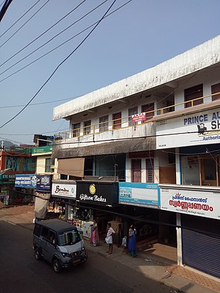
Alakode is an emerging town and a panchayat in Kannur district in the Indian state of Kerala. It is located 46 km (29 mi) north of district headquarters Kannur. Alakode is located on Taliparamba-Manakadavu-Coorg Road. Alakode was one of the major centers of Malabar Migration.

Aralam is a village and Grama Panchayat in Kannur district in the Indian state of Kerala.
Ayyankunnu is a village in Kannur district in the Indian state of Kerala.The name ayyankunnu came from the five hills "Anchu Kunnu".

Karivellur is a census town and Gram Panchayat in Kannur district of Kerala state, India.

Payyavoor is a small town in Kannur district in the Indian state of Kerala. It's the headquarters of Payyavoor Grama Panchayat.

Karimbam is a suburb of Taliparamba town in Kannur district in the Indian state of Kerala. It stretches from Government Hospital Karimbam to Panakkad and Varadool villages.
Kariyad is a small village in Talassery taluk of Kannur district in the Indian state of Kerala. It is part of the Greater Mahe Region. It is 57.31 km.2 The total population according to the 1991 census is 123,628.
Karthikapuram is a small town in Kannur district in the Indian state of Kerala.

Chapparapadavu is a Grama panchayat in Kannur district in the Indian state of Kerala. Chapparapadavu Panchayat have administration over the villages of Kooveri, Thimiri and Vellad.
Kolachery is a census town and Grama Panchayat in Kannur District of Kerala state, India. Kolachery is located 15 kilometres (9.3 mi) north east of Kannur city.

Karuvanchal is a town in the hilly terrain of Kannur district in the Indian state of Kerala. Kerala Hill Highway passes through Karuvanchal town.