West Ridge, Chicago

Last updated

West Ridge
Community Area 02 - West Ridge
Indian Boundary Park Fieldhouse.jpg
Location within the city of Chicago
US-IL-Chicago-WestRidge.png
Streetmap
US-IL-Chicago-CA02.svg
Location within the city of Chicago
Coordinates: 42°00′N87°41.4′W / 42.000°N 87.6900°W / 42.000; -87.6900
CountryUnited States
StateIllinois
County Cook
CityChicago
Neighborhoods
Area
  Total3.53 sq mi (9.1 km2)
Population
 (2020)
  Total77,122
  Density22,000/sq mi (8,400/km2)
Demographics 2019 [1]
   White 40.60%
  Black11.6%
  Hispanic18.9%
  Asian23.8%
  Other5.2%
Educational Attainment 2019 [1]
  High School Diploma or Higher80.7%
  Bachelor's Degree or Higher38.4%
Time zone UTC-6 (CST)
  Summer (DST) UTC-5 (CDT)
ZIP Codes
60645 and parts of 60659
Median Household income 2019 [1] $53,877
Source: U.S. Census, Record Information Services

West Ridge is one of 77 Chicago community areas. It is a middle-class neighborhood located on the far North Side of the City of Chicago. It is located in the 50th ward and the 40th ward.

Contents

Today West Ridge is one of Chicago's better off communities, filled with multi-ethnic culture lining Devon Avenue, historic mansions lining Ridge and Lunt Avenues, cultural institutions such as St. Scholastica Academy and one of the highest per capita incomes on the North Side of Chicago.

It is home to the Midwest's largest Hasidic community, as well as other Jewish, Irish American, German-American, Indian, Pakistani, Bangladeshi, Assyrian, Russian, Korean and Rohingya [2] immigrant communities.

History

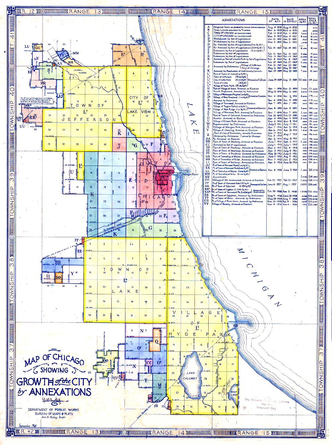
Historically called "North Town", and frequently referred to as "West Rogers Park", it is bordered on the north by Howard Street, on the east by Ridge Boulevard, Western Avenue, and Ravenswood Avenue, the south by Bryn Mawr Avenue and Peterson Avenue, and on the west by Kedzie Avenue and the North Shore channel of the Chicago River. At one time joined with neighboring Rogers Park, it seceded to become its own village in 1890 over a conflict concerning park districts (known as the Cabbage War). [3] West Ridge was annexed to Chicago on April 4, 1893, along with Rogers Park. [4]

Geography

Neighborhoods and sub-areas

Golden Ghetto

The Golden Ghetto is bounded on the north by Warren Park and Pratt Avenue and on the south by Peterson Avenue. It acquired its name from the thriving Jewish community there from about 1930 to the mid-1970s. The Jewish community peaked at over 47,000 in the 1960s. [5] That community began to drift into the suburbs in the 1960s, and the neighborhood began to be home to South Asians and Russian Jews from about that time.

The heyday of the area is the topic of Adam Langer's Crossing California, [6] told from the perspective of the second-generation residents during their middle school and teenage years. There has been a recent resurgence in Jewish residents, up from a nadir of 20,000 to around 25,000 in the late 2010s, due to increased Orthodox residents. [5]

Rogers Park Manor Bungalow Historic District

The Rogers Park Manor Bungalow Historic District is a residential historic district in the West Ridge neighborhood of Chicago, Illinois. The district includes 329 buildings, 247 of which are Chicago bungalows built in the 1920s. The district was added to the National Register of Historic Places on November 15, 2005. [7]

Talman West Ridge Bungalow Historic District

The Talman West Ridge Bungalow Historic District is a residential historic district in the West Ridge neighborhood of Chicago, Illinois. 181 of the district's 272 buildings are either brick Chicago bungalows or older stucco bungalows built from 1919 to 1930.

Demographics

Historical population
CensusPop.Note
1930 39,759
1940 43,5539.5%
1950 47,93010.0%
1960 63,88433.3%
1970 65,4772.5%
1980 61,129−6.6%
1990 65,3746.9%
2000 73,19912.0%
2010 71,942−1.7%
2020 77,1227.2%
Sources: [8] [1]

Government

Devon Avenue Westridge1.jpg
Devon Avenue

West Ridge has supported the Democratic Party in the past three presidential elections, though relative support declined slightly from 2016 to 2020. In the 2020 presidential election, West Ridge cast 17,222 votes for Joe Biden (69.8%) and cast 7,281 votes for Donald Trump (28.9%). [9] In the 2016 presidential election, West Ridge cast 16,712 votes for Hillary Clinton and cast 4,772 votes for Donald Trump, a relatively larger victory of 73.5% to 21.5%. [10] In the 2012 presidential election, West Ridge cast 14,446 votes for Barack Obama and cast 5,345 votes for Mitt Romney. [11]

It had been represented in the Chicago City Council by Alderman Bernard Stone from 1973 until May 2011. On April 5, 2011, Alderman Debra Silverstein defeated Stone in a runoff election [12] and now represents the 50th Ward, which encompasses West Ridge.

Education

Public schools

Chicago Public Schools operates public schools.

Private schools

Infrastructure

Bus service is operated by Chicago Transit Authority and Pace. Metra rail is accessible at Peterson/Ridge station.

Notable people

Related Research Articles

<span class="mw-page-title-main">Rogers Park, Chicago</span> Community area in the United States

Rogers Park is the first of Chicago's 77 community areas. Located 9 miles (14 km) from the Loop, it is on the city's far north side on the shore of Lake Michigan. The neighborhood is culturally diverse with a progressive mindset, featuring lush green public spaces, early 20th century architecture, live theater, unique bars/restaurants, and beaches. It is bounded by the city of Evanston along Juneway Terrace and Howard Street to the north, Ridge Boulevard to the west, Devon Avenue and the Edgewater neighborhood to the south, and Lake Michigan to the east. The neighborhood just to the west, West Ridge, was part of Rogers Park until the 1890s and is still commonly referred to as West Rogers Park.

<span class="mw-page-title-main">Norwood Park, Chicago</span> Community area in Chicago

Norwood Park is one of the 77 Chicago community areas. It encompasses the smaller neighborhoods of Big Oaks, Norwood Park East, Norwood Park West, Old Norwood Park, Oriole Park, and Union Ridge.

<span class="mw-page-title-main">Gage Park, Chicago</span> Community area in Chicago

Gage Park is one of Chicago's 77 well-defined community areas, located on the city's southwest side; it is also the name of a park within the neighborhood. Gage Park's population is largely working-class, and its housing stock is mostly bungalows. For generations, the neighborhood was Eastern European and Irish Catholic. The neighborhood remains overwhelmingly Catholic with the addition of many Hispanic residents. Gage Park is bounded by 49th Street to the north, 59th Street to the south, Central Park Ave to the west, and Leavitt Street to the east.

<span class="mw-page-title-main">Lincoln Square, Chicago</span> Community area in Chicago

Lincoln Square on the North Side of Chicago, Illinois, is one of the city's 77 community areas. It encompasses the smaller neighborhoods of Ravenswood, Ravenswood Gardens, Bowmanville, Budlong Woods as well as Lincoln Square itself.

<span class="mw-page-title-main">Albany Park, Chicago</span> Community area in Chicago

Albany Park is one of 77 well-defined community areas of Chicago. Located on the Northwest Side of the City of Chicago with the North Branch of the Chicago River forming its east and north boundaries, it includes the ethnically diverse Albany Park neighborhood, with one of the highest percentages of foreign-born residents of any Chicago neighborhood.

<span class="mw-page-title-main">Edgewater, Chicago</span> Community area in Chicago

Edgewater is a lakefront community area on the North Side of the city of Chicago, Illinois six miles north of the Loop. The most recently established of the city's 77 official community areas, Edgewater is bounded by Foster Avenue on the south, Devon Avenue on the north, Ravenswood Avenue on the west, and Lake Michigan on the east. Edgewater contains several beaches for residents to enjoy. Chicago's largest park, Lincoln Park, stretches south from Edgewater for seven miles along the waterfront, almost to downtown. Until 1980, Edgewater was part of Uptown, and historically it constituted the northeastern corner of Lake View Township, an independent suburb annexed by the city of Chicago in 1889. Today, Uptown is to Edgewater's south, Lincoln Square to its west, West Ridge to its northwest and Rogers Park to its north.

<span class="mw-page-title-main">North Park, Chicago</span> Community area in Chicago

North Park is one of 77 well-defined community areas of the City of Chicago. It is bordered by the North Shore Channel on the east, the Chicago River's North Branch and Foster Avenue on the south, Cicero Avenue on the west and Devon Avenue on the north.

<span class="mw-page-title-main">Austin, Chicago</span> Community area in Chicago

Austin is one of 77 community areas in Chicago. Located on the city's West Side, it is the third largest community area by population and the second-largest geographically. Austin's eastern boundary is the Belt Railway located just east of Cicero Avenue. Its northernmost border is the Milwaukee District / West Line. Its southernmost border is at Roosevelt Road from the Belt Railway west to Austin Boulevard. The northernmost portion, north of North Avenue, extends west to Harlem Avenue, abutting Elmwood Park. In addition to Elmwood Park, Austin also borders the suburbs of Cicero and Oak Park.

<span class="mw-page-title-main">South Shore, Chicago</span> Community area in Chicago

South Shore is one of 77 defined community areas of Chicago, Illinois, United States. Located on the city's South Side, the area is named for its location along the city's southern lakefront. Although South Shore has seen a greater than 40% decrease in residents since Chicago's population peaked in the 1950s, the area remains one of the most densely populated neighborhoods on the South Side. The community benefits from its location along the waterfront, its accessibility to Lake Shore Drive, and its proximity to major institutions and attractions such as the University of Chicago, the Museum of Science and Industry, and Jackson Park.

<span class="mw-page-title-main">Archer Heights, Chicago</span> Community area in Chicago

Archer Heights is a community area in Chicago, Illinois, one of the 77 official community areas of Chicago.

<span class="mw-page-title-main">Forest Glen, Chicago</span> Community area in Chicago

Forest Glen is one of the 77 official city community areas of Chicago, Illinois, located on the city's Northwest Side. It comprises the neighborhoods of Forest Glen, Edgebrook and Sauganash, with sub-neighborhoods of Sauganash Park, Wildwood, North Edgebrook and Old Edgebrook.

<span class="mw-page-title-main">Armour Square, Chicago</span> Community area in Illinois, United States

Armour Square is a Chicago neighborhood on the city's South Side, as well as a larger, officially defined community area, which also includes Chinatown and the CHA Wentworth Gardens housing project. Armour Square is bordered by Bridgeport to the west, Pilsen to the northwest, Douglas and Grand Boulevard to the east and southeast, and with the Near South Side bordering the area to the north, and Fuller Park bordering its southernmost boundary, along Pershing Road.

<span class="mw-page-title-main">Portage Park, Chicago</span> Community area in Chicago

Portage Park is located on the northwest side of the City of Chicago, Illinois and is one of 77 officially designated Chicago community areas. Portage Park is bordered by the community areas of Jefferson Park and Forest Glen to the north, Dunning and the suburb of Harwood Heights to the west, Irving Park to the east and Belmont-Cragin to the south.

<span class="mw-page-title-main">Montclare, Chicago</span> Community area in Chicago

Montclare is one of 77 officially designated Chicago community areas located on the Northwest Side of the City of Chicago, Illinois.

<span class="mw-page-title-main">Kenwood, Chicago</span> Community area in Chicago

Kenwood, one of Chicago's 77 community areas, is on the shore of Lake Michigan on the South Side of the city. Its boundaries are 43rd Street, 51st Street, Cottage Grove Avenue, and the lake. Kenwood was originally part of Hyde Park Township, which was annexed to the city of Chicago in 1889. Kenwood was once one of Chicago's most affluent neighborhoods, and it still has some of the largest single-family homes in the city. It contains two Chicago Landmark districts, Kenwood and North Kenwood. A large part of the southern half of the community area is in the Hyde Park-Kenwood Historic District. In recent years, Kenwood has received national attention as the home of former U.S. President Barack Obama.

<span class="mw-page-title-main">Chatham, Chicago</span> Community area in Chicago

Chatham is one of the 77 community areas of the city of Chicago, Illinois. It is located on the city's South Side. It includes the neighborhoods of Chatham-Avalon, Chatham Club, Chesterfield, East Chatham, West Chatham and the northern portion of West Chesterfield. Its residents are predominantly African American, and it is home to former Senator Roland Burris. Housing many city employees and other officials, Chatham has been a central area for Chicago's middle-class African Americans since the late 1950s.

<span class="mw-page-title-main">East Side, Chicago</span> Community area in Chicago

East Side is one of the 77 official community areas of Chicago, Illinois. It is on the far south side of the city, between the Calumet River and the Illinois-Indiana state line, 13 miles (21 km) south of downtown Chicago. The neighborhood has a park on Lake Michigan, Calumet Park, and a forest, Eggers Grove Forest Preserve. The forest preserve has hiking/walking trails, picnic grounds and birdwatching. It is served by U.S. Highway 12, U.S. Highway 20, and U.S. Highway 41.

<span class="mw-page-title-main">Greater Grand Crossing, Chicago</span> Community area in Chicago

Greater Grand Crossing is one of the 77 community areas of Chicago, Illinois. It is located on the city's South Side.

<span class="mw-page-title-main">Clearing, Chicago</span> Community area in Chicago

Clearing, one of the 77 semi-official community areas, is located on the southwest side of the city of Chicago, Illinois. The southern portion of Chicago Midway International Airport is located within this community area.

<span class="mw-page-title-main">Chicago Lawn, Chicago</span> Community area in Chicago

Chicago Lawn is one of the 77 community areas of Chicago, Illinois. It is located on the southwest side of the city. Its community neighbors include Gage Park, West Englewood, Ashburn, and West Lawn. It is bounded by Bell Avenue on the east, Central Park Avenue on the west, 59th Street on the north, and 75th Street on the south, and is 13 km (8.1 mi) southwest of the Loop. Local citizens refer to the area as "Marquette Park," after the park in its center.

References

  1. 1 2 3 4 "Community Data Snapshot West Ridge" (PDF). Retrieved August 1, 2021.
  2. Ramos, Manny (January 30, 2022). "Refugees drive West Ridge's growing Asian population". Chicago Sun-Times. Retrieved January 31, 2022.
  3. "Rogers Park? West Ridge? East Rogers Park? 'Hood Border Confusion Continues - Rogers Park - DNAinfo Chicago". Archived from the original on March 30, 2017. Retrieved March 30, 2017.
  4. "Chicago Images". chicagology.com.
  5. 1 2 "The Fall and Rise Again of a Historically Jewish Neighborhood". timesofisrael.com.
  6. Langer, Adam (2004). Crossing California . Riverhead Books. ISBN   9781573222747.
  7. Martin, Beth; Ramsey, Emily (May 16, 2005). "National Register of Historic Places Registration Form: Rogers Park Manor Bungalow Historic District". Illinois Historic Preservation Division . Retrieved November 17, 2019.
  8. Paral, Rob. "Chicago Community Areas Historical Data" . Retrieved August 29, 2012.
  9. "Board of Election Commissioners for the City of Chicago". chicagoelections.gov. Retrieved December 19, 2020.
  10. Ali, Tanveer (November 9, 2016). "How Every Chicago Neighborhood Voted In The 2016 Presidential Election". DNAInfo . Archived from the original on September 24, 2019. Retrieved October 4, 2019.
  11. Ali, Tanveer (November 9, 2012). "How Every Chicago Neighborhood Voted In The 2012 Presidential Election". DNAInfo . Archived from the original on February 3, 2019. Retrieved October 4, 2019.
  12. "Election results Stone v. Silverstein" . Retrieved May 18, 2011.
  13. Banas, Casey. "SCHOOL MAY REOPEN TO EASE CROWDING." Chicago Tribune . July 17, 1985. Chicagoland 4. Retrieved on February 5, 2011. "Neumann School, a private school for emotionally disturbed children,[...]"
  14. "General Information." Tzemach Tzedek Elementary School. Retrieved on February 5, 2011.
  15. "STREET SMARTS ; A FUTURE WHITE HOUSE ADVISER GETS HIS POLITICAL EDUCATION, CHICAGO- STYLE". Chicago Tribune . May 25, 2003 via ProQuest.
  16. Illinois Blue Book 1973-1974. p. 84. Retrieved June 10, 2021.
  17. Year: 1930; Census Place: Chicago, Cook, Illinois; Page: 19A; Enumeration District: 1916; FHL microfilm: 2340230. Via Heritage Quest Online.
  18. Star, Jack (April 3, 1977). "The milliondollar attorney for the maimed". Chicago Tribune . p. H24.
  19. 1 2 "Louis Lerner in the 1940 United States Federal Census" . April 2, 1940. Retrieved November 24, 2021.
  20. "Medal of Honor 2ndLt John H. Leims (Medal of Honor citation)". Who's Who in Marine Corps History. History Division, United States Marine Corps. Archived from the original on February 22, 2007. Retrieved April 6, 2006.
  21. Staff Report (August 8, 1948). "20 Streets in New City To Be Named for Men in War II". Chicago Tribune via ProQuest.
  22. "With America's Fighters". Chicago Daily Tribune. June 11, 1944. p. N1 via ProQuest.
  23. "Iowa Football Star with Chicago Roots Has NFL Aspirations - West Rogers Park - Chicago - DNAinfo". Archived from the original on September 25, 2017. Retrieved September 25, 2017.