Para is a village, with a police station, in the Para CD block in the Raghunathpur subdivision of the Purulia district in West Bengal, India.
Chharra is a village in the Purulia II CD block in the Purulia Sadar subdivision of the Purulia district in the state of West Bengal, India.
Balsi Purbapara is a village in the Patrasayer CD block in the Bishnupur subdivision of the Bankura district in the state of West Bengal, India.
Hadal Narayanpur are two adjacent villages considered as one in the Patrasayer CD block in the Bishnupur subdivision of the Bankura district in the state of West Bengal, India.
Patit Dommahal is a village in the Patrasayer CD block in the Bishnupur subdivision of the Bankura district in the state of West Bengal, India.
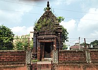
Ambikanagar is a village and a gram panchayat in the Ranibandh CD block in the Khatra subdivision of the Bankura district in the state of West Bengal, India.
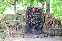
Deulbhira is a village in the Taldangra CD block in the Khatra subdivision of the Bankura district in the state of West Bengal, India.
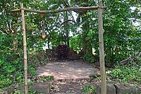
Madanmohanpur is a village in the Sonamukhi CD block in the Bishnupur subdivision of the Bankura district in the state of West Bengal, India.
Pathra is a village and a gram panchayat in the Midnapore Sadar CD block in the Medinipur Sadar subdivision of the Paschim Medinipur district in the state of West Bengal, India.
Alangiri is a village in the Egra I CD block in the Egra subdivision of the Purba Medinipur district in the state of West Bengal, India.
Shrirampur is a village in the Sabang CD block in the Kharagpur subdivision of the Paschim Medinipur district in the state of West Bengal, India.
Dubrajpur is a village in the Sabang CD block in the Kharagpur subdivision of the Paschim Medinipur district in the state of West Bengal, India.
Tilantapara is a village in the Sabang CD block in the Kharagpur subdivision of the Paschim Medinipur district in the state of West Bengal, India.
Laoda is a village in the Daspur I CD block in the Ghatal subdivision of the Paschim Medinipur district in the state of West Bengal, India.
Radhakantapur is a village in the Daspur I CD block in the Ghatal subdivision of the Paschim Medinipur district in the state of West Bengal, India.
Gobindanagar is a village in the Daspur I CD block in the Ghatal subdivision of the Paschim Medinipur district in the state of West Bengal, India.
Jalsara (জলসরা) is a village in the Ghatal CD block in the Ghatal subdivision of the Paschim Medinipur district in the state of West Bengal, India.
Radhanagar is a village in the Ghatal CD block in the Ghatal subdivision of the Paschim Medinipur district in the state of West Bengal, India.
Jayantipur is a village in the Chandrakona II CD block in the Ghatal subdivision of the Paschim Medinipur district in the state of West Bengal, India.
Kotalpur is a village and a gram panchayat in the Jangipara CD block in the Srirampore subdivision of Hooghly district in the Indian state of West Bengal.