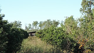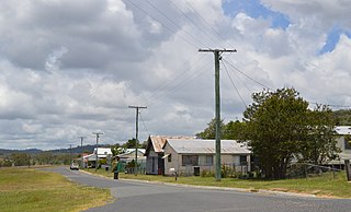
Eidsvold is a rural town and locality in the North Burnett Region, Queensland, Australia. The town is the self-proclaimed Beef Capital of the Burnett and is a hub for the regional cattle industry. In the 2016 census, Eidsvold had a population of 574 people.

Tinana is a rural town and locality in the Fraser Coast Region, Queensland, Australia. In the 2016 census the locality of Tinana had a population of 5,476 people.

Ideraway is a rural town and locality in the North Burnett Region, Queensland, Australia. In the 2016 census the locality of Ideraway had a population of 38 people.

Coalstoun Lakes is a rural town and locality in the North Burnett Region, Queensland, Australia. In the 2016 census the locality of Coalstoun Lakes had a population of 114 people.

Durong is a rural locality in the South Burnett Region, Queensland, Australia. In the 2016 census Durong had a population of 226 people.

Cloyna is a rural locality in the South Burnett Region, Queensland, Australia. In the 2016 census Cloyna had a population of 142 people.

Kalpowar is a town in the North Burnett Region and a locality split between the North Burnett Region and the Bundaberg Region, in Queensland, Australia. In the 2016 census the locality of Kalpowar had a population of 67 people.

Windera is a town in the South Burnett Region and a locality split between the South Burnett Region and the Gympie Region in Queensland, Australia. In the 2016 census the locality of Windera had a population of 93 people.

Beeron is a rural locality in the North Burnett Region, Queensland, Australia. In the 2016 census Beeron had a population of 14 people.

Bunya Mountains is a locality split between the Western Downs Region and the South Burnett Region, Queensland, Australia. The town of Mount Mowbullan is located on the boundary of Bunya Mountains and the enclosed locality of Mowbullan. In the 2016 census Bunya Mountains had a population of 144 people.

Derri Derra is a rural locality in the North Burnett Region, Queensland, Australia. In the 2016 census Derri Derra had a population of 146 people.

Johnstown is a rural locality split between the South Burnett Region and the Gympie Region, both in Queensland, Australia. In the 2016 census Johnstown had a population of 30 people.

Kapaldo is a rural town and locality in the North Burnett Region, Queensland, Australia. In the 2016 census the locality of Kapaldo had a population of 43 people.

Keysland is a rural locality in the South Burnett Region, Queensland, Australia. In the 2016 census, Keysland had a population of 12 people.

Mount Steadman is a rural locality in the North Burnett Region, Queensland, Australia. In the 2016 census Mount Steadman had a population of 8 people.

Nukku is a rural locality in the South Burnett Region, Queensland, Australia. In the 2016 census Nukku had a population of 22 people.

Good Night is a rural locality split between the Bundaberg Region and the North Burnett Region, Queensland, Australia. It is also writted as Goodnight. In the 2016 census, Good Night had a population of 117 people.

South Nanango is a rural locality in the South Burnett Region, Queensland, Australia. In the 2016 census South Nanango had a population of 858 people.

Mingo is a rural locality in the North Burnett Region, Queensland, Australia. In the 2016 census, Mingo had a population of 8 people.

Boynewood is a locality in the North Burnett Region, Queensland, Australia. In the 2016 census, Boynewood had a population of 172 people.


