Kumbia, Queensland

Last updated

Map all coordinates using: OpenStreetMap
Kumbia
Queensland
KumbiaPioneerTribute.JPG
Kumbia Pioneer tribute beside the Memorial School of Arts hall
Australia Queensland location map.svg
Red pog.svg
Kumbia
Coordinates 26°41′25″S151°39′18″E / 26.6902°S 151.655°E / -26.6902; 151.655 (Kumbia (town centre))
Population301 (SAL 2021) [1]
Postcode(s) 4610
Area69.6 km2 (26.9 sq mi)
Time zone AEST (UTC+10:00)
Location
LGA(s) South Burnett Region
State electorate(s) Nanango
Federal division(s) Maranoa
Localities around Kumbia:
Mannuem Benair Haly Creek
Mannuem Kumbia Haly Creek
Boyneside Alice Creek Alice Creek

Kumbia (pronounced "come-bia") is a rural town and locality in the South Burnett Region, Queensland, Australia. [2] [3] In the 2021 census, the locality of Kumbia had a population of 301 people. [4]

Contents

Geography

The town is located on the Bunya Highway. It is the main street for the town, but is known with the town as Bell Street. [5]

History

The name Kumbia is from the Waka language but its meaning is uncertain, possibly referring to white ant nests or a small scrub vine. [2]

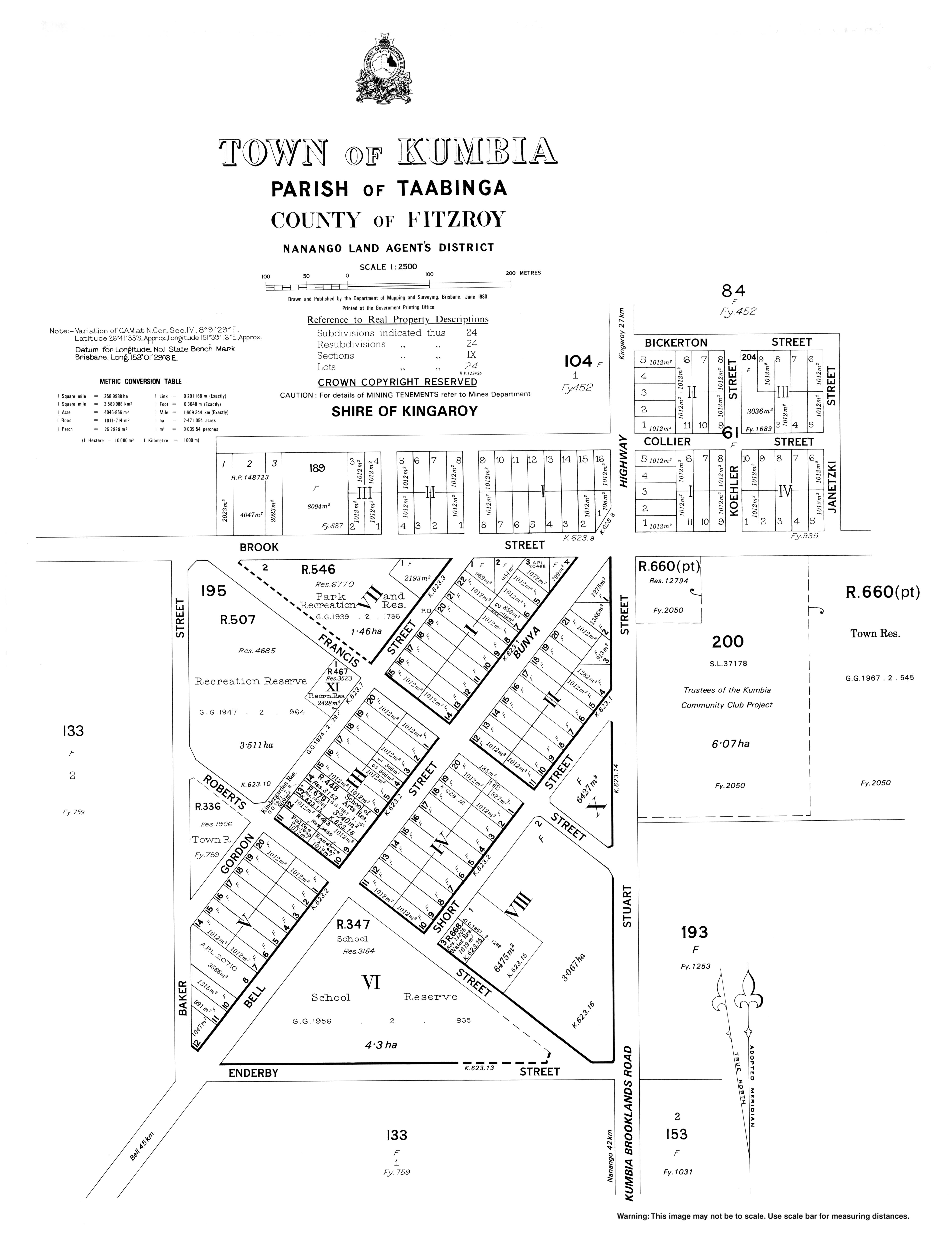
On 30 July 1912, the Queensland Government aucitoned 44 land parcels in the new town of Kumbia, each about 1 rood (11,000 sq ft; 1,000 m2). [6]

A postal receiving office opened in 1913, being replaced by Kumbia Post Office on 19 July 1915. [7]

The Kumbia State School opened on 2 February 1914 and celebrated its 100-year anniversary in 2014. [8] [9]

Kumbia Uniting Church, formerly Methodist, 2023 Kumbia Uniting Church, formerly Methodist, 2023 02.jpg
Kumbia Uniting Church, formerly Methodist, 2023

Kumbia Methodist Church opened in 1914. It was built from timber at a cost of £165 and could seat 150 people. As part of the amalgamation that created the Uniting Church in Australia, in 1977 it became Kumbia Uniting Church. [10]

Our Lady of Peace Catholic Church, 2023 Our Lady of Peace Catholic Church, Kumbia, 2023 02.jpg
Our Lady of Peace Catholic Church, 2023

On Sunday 18 May 1919, the Roman Catholic Church in Kumbia was officially opened and consecrated as The Lady of the Sacred Heart Catholic Church by Archbishop James Duhig. It was built from timber. [11] [12] Later it becomes known as Our Lady of Peace Catholic Church. [13]

As a memorial for those from the Kumbia district who had died in World War I, a school of arts hall was opened in Kumbia on Saturday 2 September 1922 with a sports day followed by a concert and dance in the evening. The building cost £1,250. More than 1,000 people attended the sports day with an estimated 570 people attending the evening entertainment. [14] [15] The day had been declared as a local public holiday. [16]

Trinity Evangelical Lutheran Church was built in 1914. [17] It was replaced by a new church building in 1959. It was later renamed Peace Lutheran Church. [18]

In May 1918, St Paul's Anglican Church was officially opened and dedicated by Archdeacon Rivers. [19] [20] A new St Paul's Church of England was dedicated on 28 November 1970 by the Right Reverend Wilfrid John Hudson. Its closure circa 2015 was approved by Bishop Cameron Venables. [21]

At the 2011 census, the locality of Kumbia had a population of 352 people. [22]

In the 2016 census, the locality of Kumbia had a population of 294 people. [23]

In the 2021 census, the locality of Kumbia had a population of 301 people. [4]

Education

Kumbia State School, 2023 Kumbia State School, 2023 03.jpg
Kumbia State School, 2023

Kumbia State School is a government primary (Prep-6) school for boys and girls at 2-24 Bell Street ( 26°41′36″S151°39′05″E / 26.6932°S 151.6515°E / -26.6932; 151.6515 (Kumbia State School) ). [24] [25] In 2018, the school had an enrolment of 62 students with 7 teachers (5 full-time equivalent) and 9 non-teaching staff (4 full-time equivalent). [26]

There is no secondary school in Kumbia. The nearest secondary school is Kingaroy State High School in Kingaroy to the north-east. [5]

Amenities

Peace Lutheran Church, 2023 Peace Lutheran Church, Kumbia, 2023 01.jpg
Peace Lutheran Church, 2023

Kumbia has many small street-front shops including a Fuel Station with post office, store and caravan park, a mechanic, a general store, a butcher's shop and a pub.[ citation needed ]

Kumbia Memorial School of Arts is at 29-31 Bell Street ( 26°41′31″S151°39′09″E / 26.6919°S 151.6526°E / -26.6919; 151.6526 (Kumbia Memorial School of Arts) ). [27]

The Kumbia branch of the Queensland Country Women's Association meets at the QCWA Hall at 38 Bell Street ( 26°41′30″S151°39′13″E / 26.6917°S 151.6536°E / -26.6917; 151.6536 (Kumbia CWA Hall) ). [28]

Our Lady of Peace Catholic Church is at 44 Brook Road ( 26°41′19″S151°39′10″E / 26.688685°S 151.6528°E / -26.688685; 151.6528 (Our Lady of Peace Catholic Church) ). It is part of the Kingaroy Nanango Catholic Parish within the Roman Catholic Archdiocese of Brisbane. [12] [29]

Kumbia Uniting Church is at 33 Bell Street ( 26°41′30″S151°39′11″E / 26.691617°S 151.6531°E / -26.691617; 151.6531 (Kumbia Methodist Church) ). [10] [30]

Peace Lutheran Church is at 10 Koehler Street ( 26°41′21″S151°39′29″E / 26.689039°S 151.658°E / -26.689039; 151.658 (Trinity Evangelical Lutheran Church) ). [31] [32]

Facilities

Kumbia Police Station, 2023 Kumbia Police Station, 2023.jpg
Kumbia Police Station, 2023

There are three emergency services based in Kumbia:

There are two cemeteries in Kumbia:

Notable residents

Related Research Articles

<span class="mw-page-title-main">Kingaroy</span> Town in Queensland, Australia

Kingaroy is a rural town and locality in the South Burnett Region, Queensland, Australia. The town is situated on the junction of the D'Aguilar and the Bunya Highways, 218 kilometres (135 mi) north-west of the state capital Brisbane and 141 kilometres (88 mi) south west of Gympie. In the 2021 census, the locality of Kingaroy had a population of 10,266 people.

<span class="mw-page-title-main">Nanango</span> Town in Queensland, Australia

Nanango is a rural town and locality in the South Burnett Region, Queensland, Australia. In the 2021 census, the locality of Nanango had a population of 3,679 people.

<span class="mw-page-title-main">Murgon</span> Town in Queensland, Australia

Murgon is a rural town and locality in the South Burnett Region, Queensland, Australia. In the 2016 census, the locality of Murgon had a population of 2,378 people.

<span class="mw-page-title-main">Wondai</span> Town in Queensland, Australia

Wondai is a rural town and locality in the South Burnett Region, Queensland, Australia. In the 2021 census, Wondai had a population of 1,975 people.

<span class="mw-page-title-main">Goomeri</span> Town in Queensland, Australia

Goomeri is a rural town and locality in the Gympie Region, Queensland, Australia. In the 2016 census, the locality of Goomeri had a population of 664 people.

<span class="mw-page-title-main">Shire of Kingaroy</span> Local government area in Queensland, Australia

The Shire of Kingaroy was a local government area in the South Burnett area of Queensland, Australia, about 100 kilometres (62 mi) northwest of the capital, Brisbane. The shire covered an area of 2,420.3 square kilometres (934.5 sq mi), and existed as a local government area from 1912 until 2008, when it amalgamated with a number of other local government areas in the South Burnett area to become the South Burnett Region.

<span class="mw-page-title-main">Tingoora</span> Town in Queensland, Australia

Tingoora is a rural town and a locality in the South Burnett Region, Queensland, Australia.

<span class="mw-page-title-main">Wooroolin, Queensland</span> Town in Queensland, Australia

Wooroolin is a rural town and a locality in the South Burnett Region, Queensland, Australia.

<span class="mw-page-title-main">Memerambi, Queensland</span> Town in Queensland, Australia

Memerambi is a rural town and locality in the South Burnett Region, Queensland, Australia. In the 2021 census, the locality of Memerambi had a population of 338 people.

<span class="mw-page-title-main">Theebine</span> Town in Queensland, Australia

Theebine is a rural town and locality split between the Gympie Region and the Fraser Coast Region, both in Queensland, Australia.

<span class="mw-page-title-main">Durong, Queensland</span> Suburb of South Burnett Region, Queensland, Australia

Durong is a rural locality in the South Burnett Region, Queensland, Australia.

<span class="mw-page-title-main">Haly Creek, Queensland</span> Suburb of South Burnett Region, Queensland, Australia

Haly Creek is a rural locality in the South Burnett Region, Queensland, Australia. In the 2016 census Haly Creek had a population of 136.

Alice Creek is a rural locality in the South Burnett Region, Queensland, Australia. In the 2016 census, Alice Creek had a population of 60 people.

Coolabunia is a rural locality in the South Burnett Region, Queensland, Australia.

<span class="mw-page-title-main">Crawford, Queensland</span> Suburb of South Burnett Region, Queensland, Australia

Crawford is a locality in the South Burnett Region, Queensland, Australia.

Taabinga is a rural town and locality in the South Burnett Region, Queensland, Australia.

<span class="mw-page-title-main">Brooklands, Queensland</span> Suburb of South Burnett Region, Queensland, Australia

Brooklands is a rural locality in the South Burnett Region, Queensland, Australia. In the 2021 census, Brooklands had a population of 324 people.

Inverlaw is a rural locality in the South Burnett Region, Queensland, Australia.

<span class="mw-page-title-main">Mondure</span> Town in Queensland, Australia

Mondure is a rural town and locality in the South Burnett Region, Queensland, Australia. In the 2016 census, Mondure had a population of 100 people.

South Nanango is a rural locality in the South Burnett Region, Queensland, Australia. In the 2016 census South Nanango had a population of 858 people.

References

  1. Australian Bureau of Statistics (28 June 2022). "Kumbia (Suburb and Locality)". Australian Census 2021 QuickStats. Retrieved 28 June 2022.  OOjs UI icon edit-ltr-progressive.svg
  2. 1 2 "Kumbia – town in South Burnett Region (entry 18596)". Queensland Place Names. Queensland Government . Retrieved 29 December 2020.
  3. "Kumbia – locality in South Burnett Region (entry 46235)". Queensland Place Names. Queensland Government . Retrieved 29 December 2020.
  4. 1 2 Australian Bureau of Statistics (28 June 2022). "Kumbia (SAL)". 2021 Census QuickStats. Retrieved 28 February 2023. OOjs UI icon edit-ltr-progressive.svg
  5. 1 2 "Queensland Globe". State of Queensland . Retrieved 8 April 2023.
  6. "Advertising". The Nanango News . No. 652. Queensland, Australia. 12 July 1912. p. 3. Retrieved 8 April 2023 via National Library of Australia.
  7. Premier Postal History. "Post Office List". Premier Postal Auctions. Archived from the original on 15 May 2014. Retrieved 10 May 2014.
  8. "Kumbia SS". Archived from the original on 4 February 2017. Retrieved 31 January 2017.
  9. "Opening and closing dates of Queensland Schools". Queensland Government . Retrieved 18 April 2019.
  10. 1 2 Blake, Thom. "Kumbia Methodist Church". Queensland religious places database. Retrieved 22 September 2022.
  11. "KINGAROY". Maryborough Chronicle, Wide Bay and Burnett Advertiser . No. 14, 150. Queensland, Australia. 23 May 1919. p. 3. Retrieved 8 April 2023 via National Library of Australia.
  12. 1 2 Blake, Thom. "Our Lady of Peace Catholic Church". Queensland religious places database. Retrieved 22 September 2022.
  13. "History". Kingaroy Nanango Catholic Parish. Retrieved 8 April 2023.
  14. "Kumbia & District Memorial School of Arts". Monument Australia. Retrieved 8 April 2023.
  15. "KUMBIA SPORTS". Toowoomba Chronicle . Vol. LXI, no. 213. Queensland, Australia. 8 September 1922. p. 3. Retrieved 8 April 2023 via National Library of Australia.
  16. "NEWS FROM THE COUNTRY". Daily Mail . No. 6331. Queensland, Australia. 1 August 1922. p. 11. Retrieved 8 April 2023 via National Library of Australia.
  17. Blake, Thom. "Trinity Evangelical Lutheran Church". Queensland religious places database. Retrieved 22 September 2022.
  18. Blake, Thom. "Trinity Evangelical Lutheran Church". Queensland religious places database. Retrieved 22 September 2022.
  19. "Opening of the Church of England at Kumbia". Toowoomba Chronicle . Vol. LII, no. 125. Queensland, Australia. 27 May 1918. p. 4. Retrieved 9 April 2023 via National Library of Australia.
  20. "St Paul's Anglican Church | Kumbia". Queensland Religious Places Database. Retrieved 9 April 2023.
  21. Anglican Church of Southern Queensland. "Closed Churches". Archived from the original on 3 April 2019. Retrieved 3 July 2020.
  22. Australian Bureau of Statistics (31 October 2012). "Kumbia (State Suburb)". 2011 Census QuickStats. Retrieved 1 July 2013. OOjs UI icon edit-ltr-progressive.svg
  23. Australian Bureau of Statistics (27 June 2017). "Kumbia (SSC)". 2016 Census QuickStats. Retrieved 20 October 2018. OOjs UI icon edit-ltr-progressive.svg
  24. "State and non-state school details". Queensland Government. 9 July 2018. Archived from the original on 21 November 2018. Retrieved 21 November 2018.
  25. "Kumbia State School". Archived from the original on 18 March 2020. Retrieved 21 November 2018.
  26. "ACARA School Profile 2018". Australian Curriculum, Assessment and Reporting Authority. Archived from the original on 27 August 2020. Retrieved 28 January 2020.
  27. "Kumbia & District Memorial School of Arts". Monument Australia. Retrieved 8 April 2023.
  28. "Branch Locations". Queensland Country Women's Association. Archived from the original on 26 December 2018. Retrieved 26 December 2018.
  29. "Kingaroy Nanango Catholic Parishes". Catholic Parish. Retrieved 8 April 2023.
  30. "KINGAROY (Kingaroy, Corndale, Kumbia, Wondai)". www.maryburnettpres.org.au. Retrieved 8 April 2023.
  31. Blake, Thom. "Trinity Evangelical Lutheran Church". Queensland religious places database. Retrieved 22 September 2022.
  32. "Welcome to Peace Lutheran Church Kumbia/Taabinga". South Burnett Lutheran Parish. Retrieved 9 April 2023.
  33. 1 2 3 "Emergency services facilities - Queensland". Queensland Open Data. Queensland Government. 18 November 2020. Archived from the original on 24 November 2020. Retrieved 24 November 2020.
  34. "Kumbia Station". Queensland Police . Retrieved 8 April 2023.
  35. "Find Us". Queensland Fire and Emergency Services . Retrieved 8 April 2023.
  36. 1 2 "Cemetery Areas - Queensland". Queensland Open Data. Queensland Government. 12 November 2020. Archived from the original on 15 November 2020. Retrieved 12 November 2020.
  37. "The Hon Warren Truss MP, Member for Wide Bay (Qld)". Parliament of Australia. Archived from the original on 30 August 2007. Retrieved 8 November 2007.