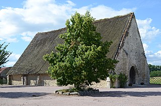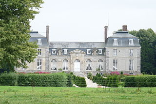
Seine-Maritime is a department of France in the Normandy region of northern France. It is situated on the northern coast of France, at the mouth of the Seine, and includes the cities of Rouen and Le Havre. Until 1955 it was named Seine-Inférieure. It had a population of 1,255,633 in 2019.

The Arrondissement of Rouen is an arrondissement of France in the Seine-Maritime department in the Normandy region. It has 216 communes. Its population is 631,032 (2016), and its area is 1,936.1 km2 (747.5 sq mi).
Saint-Saëns is a commune in the Seine-Maritime department in the Normandy region in northern France. A small town of farming and associated light industry situated by the banks of the river Varenne in the Pays de Bray, some 19 miles (31 km) southeast of Dieppe at the junction of the D929, D12, D99 and the D154 roads. Junction 11 of the A28 autoroute with the A29 autoroute is within the commune's territory.

Hénouville is a commune in the Seine-Maritime department in the Normandy region in northern France.
Carville-la-Folletière is a commune in the Seine-Maritime department in the Normandy region in northern France.

Sahurs is a commune in the Seine-Maritime department in the Normandy region in northern France.

Heurteauville is a commune in the Seine-Maritime department in the Normandy region in north-western France.
Saint-Arnoult is a commune in the Seine-Maritime department in the Normandy region in northern France.

Sainte-Foy is a commune in the Seine-Maritime department in the Normandy region in northern France.

Saint-Sylvain is a commune in the Seine-Maritime department in the Normandy region in northern France.
Petiville is a commune in the Seine-Maritime department in the Normandy region in northern France.

Rieux is a commune in the Seine-Maritime department in the Normandy region in northern France.

Saint-Honoré is a commune in the Seine-Maritime department in the Normandy region in northern France.
The Canton of Ourville-en-Caux is a former canton situated in the Seine-Maritime département and in the Haute-Normandie region of northern France. It was disbanded following the French canton reorganisation which came into effect in March 2015. It had a total of 5,177 inhabitants (2012).

The Canton of Notre-Dame-de-Bondeville is a canton situated in the Seine-Maritime département and in the Normandy region of northern France.
The Canton of Pavilly is a former canton situated in the Seine-Maritime département and in the Haute-Normandie region of northern France. It was disbanded following the French canton reorganisation which came into effect in March 2015. It had a total of 31,229 inhabitants (2012).

The Canton of Yvetot is a canton situated in the Seine-Maritime département and in the Normandy region of northern France.
The communauté de communes Plateau de Caux-Fleur de Lin was created on and is located in the Seine-Maritime département of the Normandy region of northern France. It was created in December 2001. It was merged into the new Communauté de communes Plateau de Caux-Doudeville-Yerville in January 2017.
The Communauté de communes Plateau de Caux is a communauté de communes in the Seine-Maritime département and in the Normandy région of France. It was formed on 1 January 2017 by the merger of the former Communauté de communes d'Yerville-Plateau de Caux and Communauté de communes Plateau de Caux-Fleur de Lin on 1 January 2017. It consists of 40 communes, and its seat is in Doudeville. Its area is 252.6 km2. Its population was 21,005 in 2018.


