Ambrumesnil

Last updated
Ambrumesnil
Ambrumesnil.jpg
The church and town hall in Ambrumesnil
Blason ville fr Ambrumesnil (Seine-Maritime).svg
Location of Ambrumesnil
Ambrumesnil
France location map-Regions and departements-2016.svg
Red pog.svg
Ambrumesnil
Normandie region location map.svg
Red pog.svg
Ambrumesnil
Coordinates: 49°51′30″N0°59′42″E / 49.8583°N 0.995°E / 49.8583; 0.995 Coordinates: 49°51′30″N0°59′42″E / 49.8583°N 0.995°E / 49.8583; 0.995
Country France
Region Normandy
Department Seine-Maritime
Arrondissement Dieppe
Canton Dieppe-1
Intercommunality Terroir de Caux
Government
  Mayor (20202026) Norbert Letellier [1]
Area
1
5.14 km2 (1.98 sq mi)
Population
 (Jan. 2019) [2]
468
  Density91/km2 (240/sq mi)
Time zone UTC+01:00 (CET)
  Summer (DST) UTC+02:00 (CEST)
INSEE/Postal code
76004 /76550
Elevation11–88 m (36–289 ft)
(avg. 82 m or 269 ft)
1 French Land Register data, which excludes lakes, ponds, glaciers > 1 km2 (0.386 sq mi or 247 acres) and river estuaries.

Ambrumesnil is a commune in the Seine-Maritime department in the Normandy region in north-western France.

Contents

Geography

A light industrial and farming village situated near the banks of the river Scie in the Pays de Caux, some 8 miles (13 km) southwest of Dieppe, at the junction of the D 123 and D 327 roads.

Heraldry

Arms of Ambrumesnil Blason ville fr Ambrumesnil (Seine-Maritime).svg
Arms of Ambrumesnil
The arms of Ambrumesnil are blazoned  :
Azure, a latin cross surmounted by 2 stalks of wheat in saltire, all enfiled of a crown, between in base 3 fleurs de lys Or.


Population

Historical population
YearPop.±% p.a.
1793 410    
1800 355−2.04%
1806 351−0.19%
1821 470+1.97%
1831 554+1.66%
1836 515−1.45%
1841 529+0.54%
1846 488−1.60%
1851 492+0.16%
1856 502+0.40%
1861 511+0.36%
1866 474−1.49%
1872 425−1.80%
1876 409−0.95%
1881 401−0.39%
1886 403+0.10%
1891 406+0.15%
1896 415+0.44%
YearPop.±% p.a.
1901 360−2.80%
1906 342−1.02%
1911 354+0.69%
1921 335−0.55%
1926 342+0.41%
1931 353+0.64%
1936 350−0.17%
1946 344−0.17%
1954 344+0.00%
1962 368+0.85%
1968 358−0.46%
1975 326−1.33%
1982 363+1.55%
1990 401+1.25%
1999 450+1.29%
2007 517+1.75%
2012 507−0.39%
2017 472−1.42%
Source: EHESS [3] and INSEE (1968-2017) [4]

Places of interest

See also

Related Research Articles

Saint-Pierre-Bénouville is a commune in the Seine-Maritime department in the Normandy region in north-western France.

<span class="mw-page-title-main">Saint-Vaast-d'Équiqueville</span> Commune in Normandy, France

Saint-Vaast-d'Équiqueville is a commune in the Seine-Maritime department in the Normandy region in north-western France.
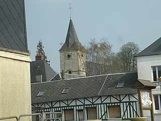
<span class="mw-page-title-main">Saint-Victor-l'Abbaye</span> Commune in Normandy, France

Saint-Victor-l'Abbaye is a commune in the Seine-Maritime department in the Normandy region in north-western France.
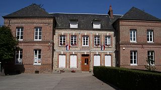
<span class="mw-page-title-main">Theuville-aux-Maillots</span> Commune in Normandy, France

Theuville-aux-Maillots is a commune in the Seine-Maritime department in the Normandy region in north-western France.

Calleville-les-Deux-Églises is a commune in the Seine-Maritime department in the Normandy region in north-western France.

<span class="mw-page-title-main">Osmoy-Saint-Valery</span> Commune in Normandy, France

Osmoy-Saint-Valery is a commune in the Seine-Maritime department in the Normandy region in north-western France.

Saint-Denis-d'Aclon is a commune in the Seine-Maritime department in the Normandy region in north-western France.
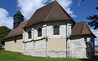
<span class="mw-page-title-main">Hautot-sur-Seine</span> Commune in Normandy, France

Hautot-sur-Seine is a commune in the Seine-Maritime department in the Normandy region in north-western France.
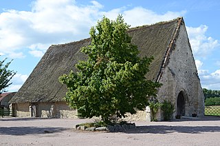
<span class="mw-page-title-main">Heurteauville</span> Commune in Normandy, France

Heurteauville is a commune in the Seine-Maritime department in the Normandy region in north-western France.

Vassonville is a commune in the Seine-Maritime department in the Normandy region in north-western France.

Saint-Crespin Commune in Normandy, France

Saint-Crespin is a commune in the Seine-Maritime department in the Normandy region in north-western France.

<span class="mw-page-title-main">Le Bois-Robert</span> Commune in Normandy, France

Le Bois-Robert is a commune in the Seine-Maritime department in the Normandy region in north-western France.

<span class="mw-page-title-main">La Bouille</span> Commune in Normandy, France

La Bouille is a commune in the Seine-Maritime department in the Normandy region in north-western France.

Sauqueville is a commune in the Seine-Maritime department in the Normandy region in north-western France.

Val-de-la-Haye is a commune in the Seine-Maritime department in the Normandy region in north-western France.

Val-de-Saâne is a commune in the Seine-Maritime department in the Normandy region in north-western France.

<span class="mw-page-title-main">Le Mesnil-sous-Jumièges</span> Commune in Normandy, France

Le Mesnil-sous-Jumièges is a commune in the Seine-Maritime department in the Normandy region in north-western France.

Amfreville-les-Champs is a commune in the Seine-Maritime department in the Normandy region in northern France.

Bouville, Seine-Maritime Commune in Normandy, France

Bouville is a commune in the Seine-Maritime department in the Normandy region in northern France. This farming village, situated in the Pays de Caux some 19 miles (31 km) northwest of Rouen, is at the junction of the D104, D22 and the D6015 roads.

Rocquemont is a commune in the Seine-Maritime department in the Normandy region in northern France.

References

  1. "Répertoire national des élus: les maires". data.gouv.fr, Plateforme ouverte des données publiques françaises (in French). 2 December 2020.
  2. "Populations légales 2019". The National Institute of Statistics and Economic Studies. 29 December 2021.
  3. Des villages de Cassini aux communes d'aujourd'hui: Commune data sheet Ambrumesnil, EHESS. (in French)
  4. Population en historique depuis 1968, INSEE