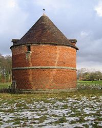
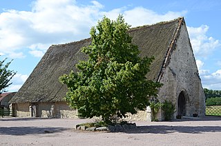
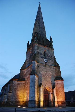
Seine-Maritime is a department of France in the Normandy region of northern France. It is situated on the northern coast of France, at the mouth of the Seine, and includes the cities of Rouen and Le Havre. Until 1955 it was named Seine-Inférieure. It had a population of 1,255,633 in 2019.
Crasville may refer to the four communes in the region of Normandy in France:

The arrondissement of Dieppe is an arrondissement of France in the Seine-Maritime department in the Normandy région. It has 343 communes. Its population is 237,203 (2016), and its area is 3,120.3 km2 (1,204.8 sq mi).
The Canton of Cany-Barville is a former canton situated in the Seine-Maritime département and in the Haute-Normandie region of northern France. It was disbanded following the French canton reorganisation which came into effect in March 2015. It consisted of 18 communes, which joined the canton of Saint-Valery-en-Caux in 2015. It had a total of 9,470 inhabitants (2012).

Amfreville-la-Mi-Voie is a commune in the Seine-Maritime department in the Normandy region in northern France.
Saint-Denis-d'Aclon is a commune in the Seine-Maritime department in the Normandy region in north-western France.

Hénouville is a commune in the Seine-Maritime department in the Normandy region in northern France.
Heurteauville is a commune in the Seine-Maritime department in the Normandy region in north-western France.

La Bouille is a commune in the Seine-Maritime department in the Normandy region in north-western France.
La Cerlangue is a commune in the Seine-Maritime department in the Normandy region in northern France.

La Chapelle-du-Bourgay is a commune in the Seine-Maritime department in the Normandie region in north-western France.
Val-de-la-Haye is a commune in the Seine-Maritime department in the Normandy region in north-western France.
Rocquefort is a commune in the Seine-Maritime department in the Normandy region in northern France.

Gouy is a commune in the Seine-Maritime department in the Normandy region in northern France.

La Bellière is a commune in the Seine-Maritime department in the Normandy region in northern France.

La Chaussée is a commune in the Seine-Maritime department in the Normandy region in northern France.
The Canton of Saint-Valery-en-Caux is a canton situated in the Seine-Maritime département and in the Normandy region of northern France.
The communauté de communes de la Côte d'Albâtre was created on December 28, 2001 and is located in the Seine-Maritime département of the Normandy region of northern France. It was enlarged with the former Communauté de communes Entre Mer et Lin and 6 communes from the former Communauté de communes Cœur de Caux on 1 January 2017. It consists of 63 communes, and its seat is in Cany-Barville. Its area is 387.5 km2, and its population was 27,799 in 2018.
The Communauté de communes Entre Mer et Lin was located in the Seine-Maritime département of the Normandy region of northern France. It was created in December 2001. It was merged into the Communauté de communes de la Côte d'Albâtre in January 2017.
Canton of Pont-de-l'Arche is a canton of the Arrondissement of Les Andelys in the Eure department of France.