This article needs additional citations for verification .(November 2024) |
This article possibly contains original research .(June 2017) |
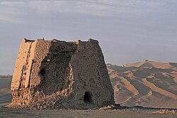
The Silk Road was an ancient network of trade routes that connected many communities of Eurasia(europe and asia) by land and sea, stretching from the Mediterranean basin in the west to the Korean peninsula and the Japanese archipelago in the east.
Contents
- Terrestrial/land routes through Eurasia
- West Asia
- Central Asia
- South Asia
- East Asia
- Maritime routes to or along the Indian Ocean
- South Asia 2
- Southern and Eastern Europe
- West Asia 2
- Northeast Africa
- Southeast Asia
- List by Claudius Ptolemy
- See also
- References
Its main eastern end was in the Chinese city of Chang'an (modern-day Xi'an, China) and its main western end was in the Greek city of Antioch (modern-day Antakya, Turkey). It came into existence in the 2nd century BCE, when Emperor Wu of the Han dynasty was in power, and lasted until the 15th century CE, when the Ottoman Empire blocked off all the trade routes with Europe after it captured Constantinople and thereby conquered the Byzantine Empire. [1]
This article lists the cities along the Silk Road, sorted by region and the modern-day countries in which they are located.