County of Two Hills No. 21

Last updated

County of Two Hills No. 21
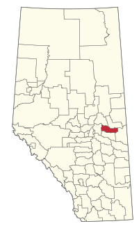
AB locator COUNTY OF TWO HILLS NO 21.svg
Location within Alberta
Coordinates: 53°42′54″N111°44′46″W / 53.71500°N 111.74611°W / 53.71500; -111.74611 Coordinates: 53°42′54″N111°44′46″W / 53.71500°N 111.74611°W / 53.71500; -111.74611
CountryCanada
Province Alberta
Region Central Alberta
Census division 10
Established1963
Incorporated1963
Government
[1]
   Reeve Don Gulayec
  Governing bodyCounty of Two Hills Council
   Administrative office Two Hills
Area
 (2021) [2]
  Land2,600.15 km2 (1,003.92 sq mi)
Population
 (2021) [2]
  Total3,412
  Density1.3/km2 (3/sq mi)
Time zone UTC−7 (MST)
  Summer (DST) UTC−6 (MDT)
Website thcounty.ab.ca

The County of Two Hills No. 21 is a municipal district in east-central Alberta, Canada. Located in Census Division No. 10, its municipal office is located in the Town of Two Hills.

Contents

The County's flag depicts an outline of the region, with a wheat bushel, cow, and oil derrick alongside the County's name and the seal of Alberta.

History

The County of Two Hills No. 21 was formed in 1963 through the amalgamation of the Municipal District of Eagle No. 81 and the Two Hills School Division.

Geography

Communities and localities

Demographics

In the 2021 Census of Population conducted by Statistics Canada, the County of Two Hills No. 21 had a population of 3,412 living in 1,148 of its 1,590 total private dwellings, a change of

In the 2016 Census of Population conducted by Statistics Canada, the County of Two Hills No. 21 had a population of 3,322 living in 1,105 of its 1,499 total private dwellings, a

See also

Related Research Articles

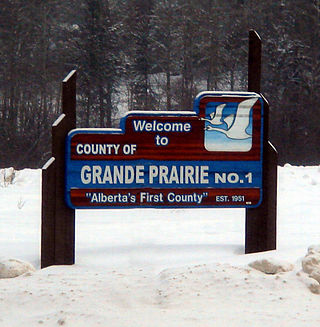
<span class="mw-page-title-main">County of Grande Prairie No. 1</span> Municipal district in Alberta, Canada

The County of Grande Prairie No. 1 is a municipal district in northwestern Alberta, Canada in Census Division No. 19.

<span class="mw-page-title-main">Athabasca County</span> Municipal district in Alberta, Canada

Athabasca County is a municipal district in north central Alberta, Canada. It is located northeast of Edmonton and is in Census Division No. 13. Prior to an official renaming on December 1, 2009, Athabasca County was officially known as the County of Athabasca No. 12.

<span class="mw-page-title-main">Two Hills, Alberta</span> Town in Alberta, Canada

Two Hills is a town in central Alberta, Canada. It is approximately 137 km (85 mi) east of Edmonton at the junction of Highway 45 and Highway 36. Two Hills is primarily an agriculture-based community. It was named from the presence of two hills located near the town. Post office established in 1914.

Willingdon is a hamlet in central Alberta, Canada within the County of Two Hills No. 21. It is located approximately 117 km (73 mi) northeast of Edmonton, Alberta's capital city.

<span class="mw-page-title-main">Westlock County</span> Municipal district in Alberta, Canada

Westlock County is a municipal district in central Alberta, Canada that is north of Edmonton. The county was formerly known as the Municipal District of Westlock No. 92, and was created in 1943 from the merger of five smaller municipal districts.
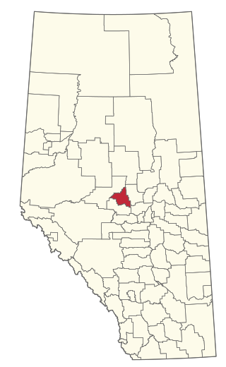
<span class="mw-page-title-main">County of Barrhead No. 11</span> Municipal district in Alberta, Canada

The County of Barrhead No. 11 is a municipal district in north central Alberta, Canada. It is located northwest of Edmonton and is in Census Division No. 13.

<span class="mw-page-title-main">Thorhild County</span> Municipal district in Alberta, Canada

Thorhild County is a municipal district located in the central part of northern Alberta, Canada in Census Division 13. It was incorporated in 1955. It changed its name from the County of Thorhild No. 7 to Thorhild County on March 20, 2013.

<span class="mw-page-title-main">Big Lakes County</span> Municipal district in Alberta, Canada

Big Lakes County, formerly the Municipal District of Big Lakes, is a municipal district in north-central Alberta, Canada.

<span class="mw-page-title-main">Birch Hills County</span> Municipal district in Alberta, Canada

Birch Hills County is a municipal district in north-western Alberta, Canada. It is located in Census Division 19, northeast of Grande Prairie.

<span class="mw-page-title-main">Camrose County</span> Municipal district in Alberta, Canada

Camrose County is a municipal district in central Alberta, Canada. It is located in Census Division 10, around the City of Camrose.
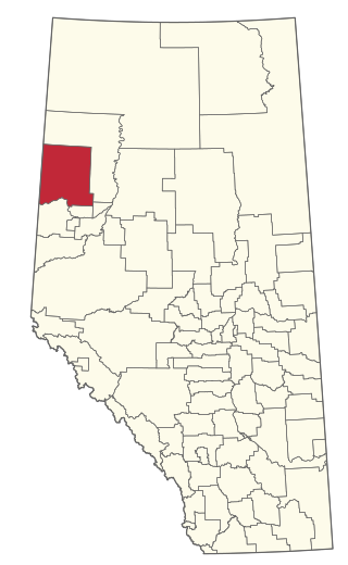
<span class="mw-page-title-main">Clear Hills County</span> Municipal district in Alberta, Canada

Clear Hills County is a municipal district in north western Alberta, Canada. It is located in Census Division 17.

<span class="mw-page-title-main">Woodlands County</span> Municipal district in Alberta, Canada

Woodlands County is a municipal district in north-central Alberta, Canada. Located in Census Division No. 13, its municipal office is located outside but adjacent to the Town of Whitecourt. A second municipal office is located in the Hamlet of Fort Assiniboine.

<span class="mw-page-title-main">Mackenzie County</span> Specialized municipality in Alberta, Canada

Mackenzie County is a specialized municipality in northern Alberta, Canada. It is located in Census Division 17, along the Mackenzie Highway. The municipal office is located in the hamlet of Fort Vermilion.

<span class="mw-page-title-main">County of Northern Lights</span> Municipal district in Alberta, Canada

The County of Northern Lights is a municipal district in northwest Alberta, Canada. Located in Census Division 17, its municipal office is located in the Town of Manning.
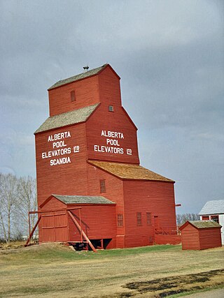
<span class="mw-page-title-main">County of Newell</span> Municipal district in Alberta, Canada

The County of Newell is a municipal district in southern Alberta, Canada. Located in Census Division No. 2, its municipal office is located south of the City of Brooks.

<span class="mw-page-title-main">County of Wetaskiwin No. 10</span> Municipal district in Alberta, Canada

The County of Wetaskiwin No. 10 is a municipal district in central Alberta, Canada that is south of Edmonton. Located in Census Division No. 11, its municipal office is in located in the City of Wetaskiwin.

<span class="mw-page-title-main">Smoky Lake County</span> Municipal district in Alberta, Canada

Smoky Lake County is a municipal district in north-eastern Alberta, Canada. Located in Census Division No. 12, its municipal office is located in the Town of Smoky Lake.

Wanham is a hamlet in northern Alberta, Canada within Birch Hills County. It is located 29 km (18 mi) east of Rycroft along Highway 49 and approximately 106 km (66 mi) north of Grande Prairie, in the farmlands of Peace River Country. Saddle River, a tributary of Peace River, flows immediately north of the community. The origin of the name Wanham could have come from Wanham in England.
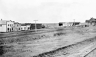
<span class="mw-page-title-main">Swalwell, Alberta</span> Hamlet in Alberta, Canada

Swalwell is a hamlet in southern Alberta, Canada within Kneehill County. Previously an incorporated municipality, Swalwell dissolved from village status on January 1, 1946, to become part of the Municipal District of Norquay No. 279.

Eaglesham is a hamlet in northern Alberta, Canada within Birch Hills County, located 6 kilometres (3.7 mi) north of Highway 49, approximately 89 kilometres (55 mi) northeast of Grande Prairie.
References

  1. Alberta Municipal Affairs: Municipal Officials Search
  2. 1 2 3 "Population and dwelling counts: Canada, provinces and territories, and census subdivisions (municipalities)". Statistics Canada. February 9, 2022. Retrieved February 9, 2022.
  3. 1 2 "Specialized and Rural Municipalities and Their Communities" (PDF). Alberta Municipal Affairs. January 12, 2022. Retrieved January 21, 2022.
  4. "O.C. 240/2017". Government of Alberta. June 12, 2017. Retrieved September 30, 2017.
  5. "Standard Geographical Classification (SGC) 2006, Economic Regions: 4810048 - Two Hills County No. 21, geographical codes and localities, 2006". Statistics Canada. March 5, 2010. Archived from the original on May 25, 2013. Retrieved August 12, 2012.
  6. "Population and dwelling counts, for Canada, provinces and territories, and census subdivisions (municipalities), 2016 and 2011 censuses – 100% data (Alberta)". Statistics Canada. February 8, 2017. Retrieved February 8, 2017.