| Eastgate, Washington | |
|---|---|
| Neighborhood | |
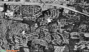 Aerial View of Eastgate | |
 Location of Eastgate, Washington | |
 Map of Eastgate, Washington | |
| Coordinates: 47°34′19″N122°08′19″W / 47.57194°N 122.13861°W Coordinates: 47°34′19″N122°08′19″W / 47.57194°N 122.13861°W | |
| Country | United States |
| State | Washington |
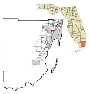
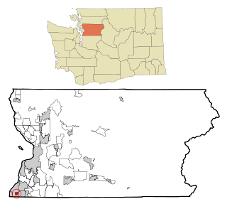
| County | King |
| City | Bellevue |
| Government | |
| • Type | Annexed in June, 2012 |
| Area | |
| • Total | 1.2 sq mi (3.0 km2) |
| • Land | 1.2 sq mi (3.0 km2) |
| • Water | 0 sq mi (0 km2) |
| Elevation | 400 ft (122 m) |
| Population (2010 Census) | |
| • Total | 4,958 |
| • Density | 3,617/sq mi (1,396.7/km2) |
| Time zone | Pacific (UTC−8) |
| • Summer (DST) | Pacific (UTC−7) |
| ZIP code | 98006 |
| Area code(s) | 425 |
| FIPS code | 53-19420 [1] |
| GNIS feature ID | 1512174 [2] |
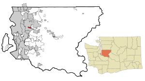
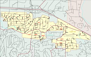
Eastgate is a neighborhood of Bellevue, Washington, United States. The population was 4,958 at the 2010 census. It was annexed by Bellevue in 2012.

Bellevue is a city in the Eastside region of King County, Washington, United States, across Lake Washington from Seattle. As the third-largest city in the Seattle metropolitan area, Bellevue has variously been characterized as an edge city, a suburb, boomburb, or satellite city. Its population was 144,444 in a 2017 census estimate.

Washington, officially the State of Washington, is a state in the Pacific Northwest region of the United States. Named for George Washington, the first president of the United States, the state was made out of the western part of the Washington Territory, which was ceded by Britain in 1846 in accordance with the Oregon Treaty in the settlement of the Oregon boundary dispute. It was admitted to the Union as the 42nd state in 1889. Olympia is the state capital; the state's largest city is Seattle. Washington is sometimes referred to as Washington State, to distinguish it from Washington, D.C., the capital of the United States, which is often shortened to Washington.

The 2010 United States Census is the twenty-third and most recent United States national census. National Census Day, the reference day used for the census, was April 1, 2010. The census was taken via mail-in citizen self-reporting, with enumerators serving to spot-check randomly selected neighborhoods and communities. As part of a drive to increase the count's accuracy, 635,000 temporary enumerators were hired. The population of the United States was counted as 308,745,538, a 9.7% increase from the 2000 Census. This was the first census in which all states recorded a population of over half a million, as well as the first in which all 100 largest cities recorded populations of over 200,000.
Contents
- Geography
- Economy
- Demographics
- Schools
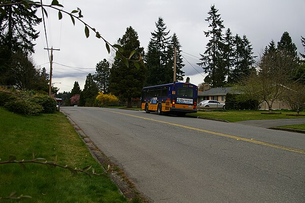
- Bus routes
- Politics
- National elections
- Annexation initiative
- See also
- References
- External links
Based on per capita income, one of the more reliable measures of affluence, Eastgate ranked 38th of 522 areas in the state of Washington to be ranked.