Flametree, Queensland

Last updated • 1 min readFrom Wikipedia, The Free Encyclopedia

Flametree
Queensland
Flametree, Queensland, Australia, 2004.jpg
Flametree, 2004
Australia Queensland location map.svg
Red pog.svg
Flametree
Coordinates 20°16′15″S148°44′54″E / 20.2708°S 148.7483°E / -20.2708; 148.7483 (Flametree (centre of locality))
Population143 (SAL 2021) [1]
Postcode(s) 4802
Area2.8 km2 (1.1 sq mi)
Time zone AEST (UTC+10:00)
Location
LGA(s) Whitsunday Region
State electorate(s) Whitsunday
Federal division(s) Dawson
Suburbs around Flametree:
Mandalay Coral Sea Mount Rooper
Mandalay Flametree Mount Rooper
Mandalay Cape Conway Mount Rooper

Flametree is a coastal locality in the Whitsunday Region, Queensland, Australia. [2] In the 2021 census, Flametree had a population of 143 people. [3]

Contents

Geography

Whitsunday Airport at Flametree Whitsunday-airport.JPG
Whitsunday Airport at Flametree

Although mountainous in most parts, Flametree has a narrow, relatively flat valley which is used for the Whitsunday Airport ( 20°16′38″S148°45′20″E / 20.2773°S 148.7555°E / -20.2773; 148.7555 (Whitsunday Airport) ), [4] not to be confused with the larger Whitsunday Coast Airport at Proserpine. [5]

The locality is presumably named after Flame Tree Creek (formerly Adder Creek) which flows from the south-west of the locality to the north-east of the locality where there is a small sandy north-facing beach on Pioneer Bay. [6] [5]

The north-west of the locality is part of Conway National Park. [5]

Proserpine-Shute Harbour Road passes through the locality connecting from the Bruce Highway near Proserpine through to Shute Harbour. [5]

History

Flametree comprises part of the former locality of Jubilee. [2]

Demographics

In the 2016 census, Flametree had a population of 122 people. [7]

In the 2021 census, Flametree had a population of 143 people. [3]

Education

There are no schools in Flametree. The nearest government primary school is Cannonvale State School in Cannonvale to the west. The nearest government secondary school is Proserpine State High School in Proserpine to the south-west. [8]

Related Research Articles

<span class="mw-page-title-main">Airlie Beach, Queensland</span> Suburb of Whitsunday Region, Queensland, Australia

Airlie Beach is a coastal locality and resort town in the Whitsunday Region of Queensland, Australia. In the 2016 census, Airlie Beach had a population of 1,208 people.

<span class="mw-page-title-main">Shute Harbour</span> Suburb of Whitsunday Region, Queensland, Australia

Shute Harbour is a coastal locality and harbour in the Whitsunday Region of Queensland, Australia. In the 2016 census, Shute Harbour had a population of 122 people.

Foxdale is a rural locality in the Whitsunday Region, Queensland, Australia. In the 2016 census Foxdale had a population of 127 people.

<span class="mw-page-title-main">Cannonvale, Queensland</span> Suburb of Whitsunday Region, Queensland, Australia

Cannonvale is a coastal locality and resort town in the Whitsunday Region, Queensland, Australia. In the 2016 census Cannonvale had a population of 5,716 people.

Dittmer is a rural town and locality in the Whitsunday Region, Queensland, Australia. In the 2016 census, the locality of Dittmer had a population of 79 people.

Mount Marlow is a rural locality in the Whitsunday Region, Queensland, Australia. In the 2016 census Mount Marlow had a population of 132 people.

Conway is a locality in the Whitsunday Region, Queensland, Australia. In the 2021 census, Conway had a population of 202 people.

Gunyarra is a rural locality in the Whitsunday Region, Queensland, Australia. In the 2016 census, Gunyarra had a population of 16 people.

Hamilton Plains is a rural locality in the Whitsunday Region, Queensland, Australia. In the 2016 census, Hamilton Plains had a population of 78 people.
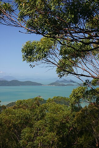
<span class="mw-page-title-main">Mount Rooper, Queensland</span> Suburb of Whitsunday Region, Queensland, Australia

Mount Rooper is a coastal locality in the Whitsunday Region, Queensland, Australia. In the 2016 census, Mount Rooper had no population.

Mandalay is a coastal locality in the Whitsunday Region, Queensland, Australia. In the 2016 census, Mandalay had a population of 337 people.

<span class="mw-page-title-main">Jubilee Pocket, Queensland</span> Suburb of Whitsunday Region, Queensland, Australia

Jubilee Pocket is a residential locality in the Whitsunday Region, Queensland, Australia. In the 2021 census, Jubilee Pocket had a population of 2,047 people.
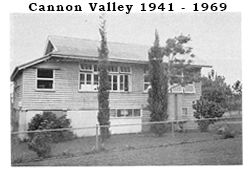
<span class="mw-page-title-main">Cannon Valley, Queensland</span> Suburb of Whitsunday Region, Queensland, Australia

Cannon Valley is a semi-rural locality in the Whitsunday Region, Queensland, Australia. In the 2021 census, Cannon Valley had a population of 1,131 people.
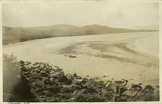
<span class="mw-page-title-main">Conway Beach, Queensland</span> Suburb of Whitsunday Region, Queensland, Australia

Conway Beach is a coastal locality in the Whitsunday Region, Queensland, Australia. In the 2021 census, Conway Beach had a population of 75 people.

Cape Gloucester is a coastal locality in the Whitsunday Region, Queensland, Australia. In the 2021 census, Cape Gloucester had a population of 85 people.

<span class="mw-page-title-main">Dingo Beach, Queensland</span> Suburb of Whitsunday Region, Queensland, Australia

Dingo Beach is a coastal rural locality in the Whitsunday Region, Queensland, Australia. In the 2016 census, Dingo Beach had a population of 169 people.

<span class="mw-page-title-main">Hideaway Bay, Queensland</span> Town in Queensland, Australia

Hideaway Bay, also spelled Hydeaway Bay, is a coastal town and locality in the Whitsunday Region, Queensland, Australia. In the 2021 census, the locality of Hideaway Bay had a population of 232 people.

Brandy Creek is a rural locality in the Whitsunday Region, Queensland, Australia. In the 2016 census, Brandy Creek had a population of 117 people.

Mount Julian is a rural locality in the Whitsunday Region, Queensland, Australia. In the 2016 census, Mount Julian had a population of 492 people.

Proserpine–Shute Harbour Road is a continuous 34.3 kilometres (21.3 mi) road route in the Whitsunday local government area of Queensland, Australia. The route is designated as State Route 59. It is a state-controlled regional road.

References

  1. Australian Bureau of Statistics (28 June 2022). "Flametree (Suburb and Locality)". Australian Census 2021 QuickStats. Retrieved 28 June 2022.  OOjs UI icon edit-ltr-progressive.svg
  2. 1 2 "Flametree – locality in Whitsunday Region (entry 46865)". Queensland Place Names. Queensland Government . Retrieved 9 November 2018.
  3. 1 2 Australian Bureau of Statistics (28 June 2022). "Flametree (SAL)". 2021 Census QuickStats. Retrieved 28 February 2023. OOjs UI icon edit-ltr-progressive.svg
  4. "Airports - Queensland". Queensland Open Data. Queensland Government. 22 October 2020. Archived from the original on 15 November 2020. Retrieved 3 November 2020.
  5. 1 2 3 4 "Queensland Globe". State of Queensland . Retrieved 8 November 2018.
  6. "Flame Tree Creek – watercourse in the Whitsunday Region (entry 12705)". Queensland Place Names. Queensland Government . Retrieved 9 November 2018.
  7. Australian Bureau of Statistics (27 June 2017). "Flametree (SSC)". 2016 Census QuickStats. Retrieved 20 October 2018. OOjs UI icon edit-ltr-progressive.svg
  8. "Layers: Locality; Schools and school catchments". Queensland Globe. Queensland Government. Archived from the original on 19 December 2017. Retrieved 8 September 2023.

Commons-logo.svg Media related to Flametree, Queensland at Wikimedia Commons