Trekking
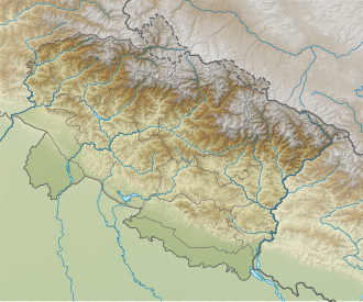
Homkund has become a trekking destination in recent years and those who trek to Roopkund consider this as another trekking destination, as Homkund is located near Roopkund. [3]
Homkund falls on the popular trek route to Ronti Saddle, a mountain pass between Nanda Ghungti and Trishul. It takes a trek of 3 days from Roopkund crossing the Junargali Pass to reach there. One can also reach there from a different route starting from the village of Sutol and passing by Latakhopri and Chandaniya Ghat. [2]
This page is based on this
Wikipedia article Text is available under the
CC BY-SA 4.0 license; additional terms may apply.
Images, videos and audio are available under their respective licenses.