| Moorish Wall | |
|---|---|
Muralla de San Reymondo | |
| Part of Fortifications of Gibraltar | |
| Upper Rock Nature Reserve, Gibraltar | |
 Detail of an 1831 map of Gibraltar by W.H. Smythe showing the two southern defensive walls: Moorish Wall to the north and Charles V Wall to the south. | |
| Site information | |
| Owner | Government of Gibraltar |
| Open to the public | Yes |
| Location | |
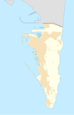 Moorish Wall Location of the Moorish Wall within Gibraltar. | |
| Coordinates | 36°08′04″N5°20′56″W / 36.134553°N 5.348977°W |
| Site history | |
| Built | 1558 |
| Built by | Philip II of Spain |
The Moorish Wall, also known as the Philip II Wall [a] and formerly the Muralla de San Reymondo (English: St. Raymond's Wall), is a defensive curtain wall built in the 16th century that formed part of the southern fortifications of the British Overseas Territory of Gibraltar. It was completed by 1575. The wall ran from the top of a steep cliff above the lower section of the Charles V Wall up the slope of the Rock of Gibraltar to its crest, north of the upper section of the Charles V Wall and is now within the Upper Rock Nature Reserve. [2]
