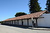
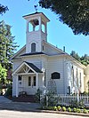
This is intended to be a complete list of the properties and districts on the National Register of Historic Places in Santa Cruz County, California, United States. Latitude and longitude coordinates are provided for many National Register properties and districts; these locations may be seen together in an online map.[1]
There are 46 properties and districts listed on the National Register in the county, including 2 National Historic Landmarks. Another four properties were once listed but have been removed.
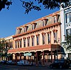
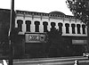
Following the 1989 Loma Prieta earthquake, most of the building was demolished. The two stone-faced exterior walls, however, were saved. A new structure was built behind them.
This is a list of the National Register of Historic Places listings in Ventura County, California.
This is a list of the National Register of Historic Places listings in Humboldt County, California.
This is intended to be a complete list of the properties and districts on the National Register of Historic Places in Santa Clara County, California, United States. Latitude and longitude coordinates are provided for many National Register properties and districts; these locations may be seen together in an online map.
This is a list of the National Register of Historic Places listings in Sonoma County, California.
This is a list of the National Register of Historic Places listings in Riverside County, California.
This is a list of the National Register of Historic Places listings in Fresno County, California.
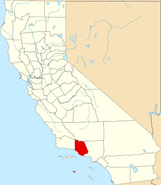
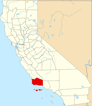
This is a list of the National Register of Historic Places listings in Santa Barbara County, California.
This is a list of the National Register of Historic Places listings in Tulare County, California.
This is a list of the National Register of Historic Places listings in Nevada County, California.
This is a list of the National Register of Historic Places listings in Shasta County, California.
This is a list of the National Register of Historic Places listings in Tuolumne County, California.
This is a list of the National Register of Historic Places listings in Mono County, California.
This is a list of the National Register of Historic Places listings in Plumas County, California.
This is a list of the National Register of Historic Places listings in Modoc County, California.
This is a list of the National Register of Historic Places listings in Amador County, California.
This is a list of the National Register of Historic Places listings in Inyo County, California.
This is a list of the National Register of Historic Places listings in Merced County, California.
This is a list of the National Register of Historic Places listings in Imperial County, California.
This is a list of the National Register of Historic Places listings in Madera County, California.
This is intended to be a complete list of the properties and districts on the National Register of Historic Places in Santa Cruz County, Arizona, United States. The locations of National Register properties and districts for which the latitude and longitude coordinates are included below, may be seen in a map.
References
↑ The latitude and longitude information provided in this table was derived originally from the National Register Information System, which has been found to be fairly accurate for about 99% of listings. Some locations in this table may have been corrected to current GPS standards.
1 2 Numbers represent an alphabetical ordering by significant words. Various colorings, defined here, differentiate National Historic Landmarks and historic districts from other NRHP buildings, structures, sites or objects.
↑ The eight-digit number below each date is the number assigned to each location in the National Register Information System database, which can be viewed by clicking the number.
This page is based on this Wikipedia article Text is available under the CC BY-SA 4.0 license; additional terms may apply. Images, videos and audio are available under their respective licenses.