

The following outline is provided as an overview of and topical guide to Croatia:
Contents
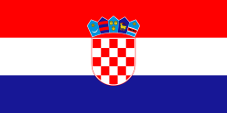
- General reference
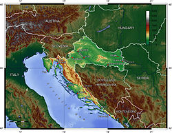
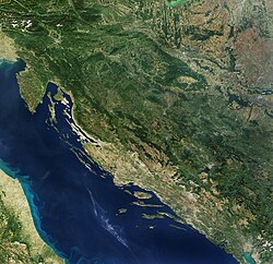
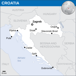
- Geography of Croatia
- Environment of Croatia
- Regions of Croatia
- Demography of Croatia
- Government and politics of Croatia
- Branches of government
- Foreign relations of Croatia
- Law and order in Croatia
- Military of Croatia
- Local government in Croatia
- History of Croatia
- Culture of Croatia
- Art in Croatia
- Sports in Croatia
- Economy and infrastructure of Croatia
- Education in Croatia
- See also
- References
- External links
Croatia – unitary democratic parliamentary republic in Europe at the crossroads of Central Europe, the Balkans, and the Mediterranean. The country's population is 4 million, most of whom are Croats, with the most common religious denomination being Roman Catholicism. Croatia is a member of the European Union (since July 2013) and of NATO (since April 2009).