Bournemouth, Christchurch and Poole
Bournemouth
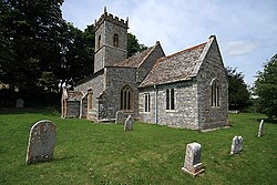
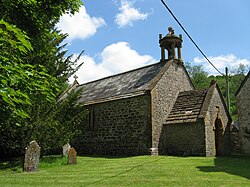
| Name | Location | Type | Completed [note 1] | Date designated | Grid ref. [note 2] Geo-coordinates | Entry number [note 3] | Image |
|---|---|---|---|---|---|---|---|
| Church of St Clement | Boscombe, Bournemouth | Church | 1871–73 | 5 May 1952 | SZ1072892127 50°43′43″N1°50′58″W / 50.728665°N 1.849367°W | 1324751 |  |
| Church of St Peter | Bournemouth | Church | 1851 | 5 May 1952 | SZ0888391216 50°43′14″N1°52′32″W / 50.720503°N 1.875529°W | 1153014 |  |
| Church of St Stephen | Bournemouth | Church | 1881–83 | 5 May 1952 | SZ0852391507 50°43′23″N1°52′50″W / 50.723126°N 1.880622°W | 1324756 |  |