The geography of France consists of a terrain that is mostly flat plains or gently rolling hills in the north and west and mountainous in the south and the east. Metropolitan France has a total size of 551,695 km2 (213,011 sq mi). It is the third largest country in Europe by area and the largest in Western Europe.

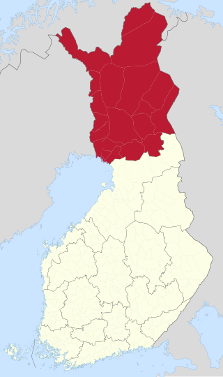
Lapland is the largest and northernmost region of Finland. The 21 municipalities in the region cooperate in a Regional Council. Lapland borders the region of North Ostrobothnia in the south. It also borders the Gulf of Bothnia, Norrbotten County in Sweden, Finnmark County and Troms County in Norway, and Murmansk Oblast and the Republic of Karelia in Russia. Topography varies from vast mires and forests of the South to fells in the North. The Arctic Circle crosses Lapland, so polar phenomena such as the midnight sun and polar night can be viewed in Lapland.
This is a list of the extreme points of the United Kingdom: the points that are farther north, south, east or west than any other location. Traditionally the extent of the island of Great Britain has stretched "from Land's End to John o' Groats".
This is a list of the extreme points of Europe: the geographical points that are higher or farther north, south, east or west than any other location in Europe. Some of these positions are open to debate, as the definition of Europe is diverse.

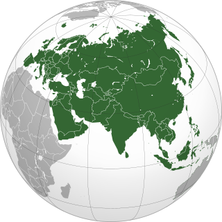
This is a list of the extreme points of Eurasia, the points that are farther north, south, east or west than any other location on the continent. Some of these locations are open to debate, owing to the diverse definitions of Europe and Asia.
This is a list of the extreme points of The Americas, the points that are farther north, south, east or west than any other location on the continent. The continent's southernmost point is often said to be Cape Horn, which is the southernmost point of the Chilean islands. The Americas cross 134° of longitude east to west and 124° of latitude north to south.

Utö is a small island in the Archipelago Sea in the Baltic Sea and belongs to Finland's Pargas municipality. It is the southernmost year-round inhabited island in Finland. Utö has an area of 0.81 square kilometres and the population was c. 40.
This is a list of points in the Philippines that are farther north, south, east, or west than any other location in the country. Also included are extreme points in elevation, extreme distances, and other points of geographic interest.
This is a list of the extreme points of the Commonwealth of Nations — the points that are farther north, south, east or west, or higher or lower in elevation than any other location.

Antigua and Barbuda lie in the eastern arc of the Leeward Islands of the Lesser Antilles, separating the Atlantic Ocean from the Caribbean Sea. Antigua is 650 km (400 mi) southeast of Puerto Rico; Barbuda lies 48 km (30 mi) due north of Antigua, and the uninhabited island of Redonda is 56 km (35 mi) southwest of Antigua.

This is a list of the extreme points of Bhutan.

This is a list of the extreme points of Catalonia, the points that are farther north, south, east or west than any other location, as well as the highest point in the autonomous community.


