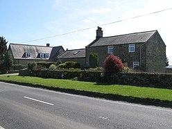
Milecastle 48 , is a milecastle on Hadrian's Wall. Its remains lie near the village of Gilsland in Cumbria where it was historically known as "The King's Stables", owing to the well-preserved interior walls. Unusually a substantial section of stone stairs has survived within the milecastle. The two turrets associated with this milecastle have also survived as above-ground masonry.
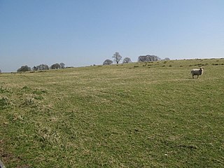
Milecastle 50 was a milecastle on Hadrian's Wall.

Milecastle 51 was a milecastle on Hadrian's Wall.

Milecastle 52 (Bankshead) was a milecastle on Hadrian's Wall.

Milecastle 53 was a milecastle on Hadrian's Wall.
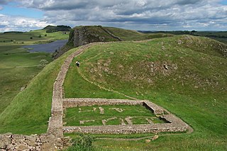
Milecastle 39 is a milecastle on Hadrian's Wall.
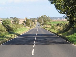
Milecastle 18 was a milecastle of the Roman Hadrian's Wall. It is located to the west of the settlement of East Wallhouses in Northumberland and is visible as a platform in the ground. The milecastle is of a unique construction, having a gateway associated with builders of the Legio II Augusta and a layout typical of the Legio VI Victrix or Legio XX Valeria Victrix. Historians have suggested that it may have been begun by men of one legion and finished by those of another. One of Milecastle 18's associated turrets shows evidence of being used as a workshop, possibly for the repair of shoes.
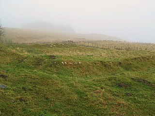
Milecastle 38 (Hotbank) was a milecastle on Hadrian's Wall in the vicinity of Hotbank Farm,. It is notable for the joint inscription bearing the names of the emperor Hadrian and Aulus Platorius Nepos, the governor of Brittania at the time the Wall was built.

Milecastle 19 was a milecastle of the Roman Hadrian's Wall. Sited just to the east of the hamlet of Matfen Piers, the milecastle is today covered by the B6318 Military Road. The milecastle is notable for the discovery of an altar by Eric Birley in the 1930s. An inscription on the altar is one of the few dedications to a mother goddess found in Roman Britain, and was made by members of the First Cohort of Varduli from northern Spain. The presence of the Vardulians at this milecastle has led to debate amongst archaeologists over the origins of troops used to garrison the wall. A smaller altar was found at one of the two associated turrets.

Milecastle 42 (Cawfields) is a milecastle on Hadrian's Wall.

Milecastle 32 (Carraw) was a milecastle of the Roman Hadrian's Wall. Its remains exist as earthworks and with no exposed masonry. The layout of the milecastle walls is defined by robber trenches (to a maximum depth of 0.3 metres. The north wall is beneath a modern wall.
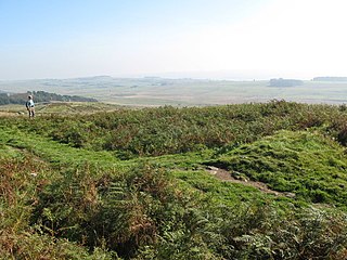
Milecastle 44 (Allolee) was a milecastle on Hadrian's Wall.

Milecastle 37 is one of the milecastles on Hadrian's Wall. It is immediately west of the Housesteads Roman Fort.

Milecastle 35 (Sewingshields) is one of the milecastles on Hadrian's Wall. The remains still exist as exposed masonry.

Milecastle 36 was one of the milecastles on Hadrian's Wall. There is little to see on the ground as most of the walls have been robbed and quarried away.

Milecastle 40 (Winshields) was a milecastle on Hadrian's Wall.

Milecastle 43 was a milecastle on Hadrian's Wall. It was obliterated when the fort at Great Chesters (Aesica) was built.
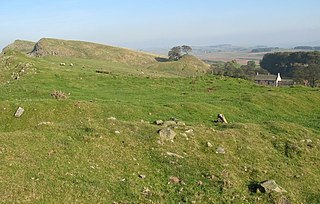
Milecastle 45 (Walltown) was a milecastle on Hadrian's Wall.
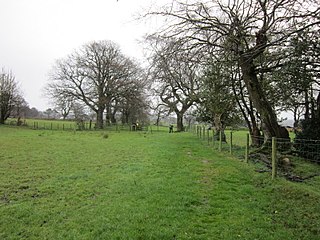
Milecastle 55 was a milecastle on Hadrian's Wall.
Milecastle 64 (Drawdykes) was a milecastle on Hadrian's Wall.
