
Milecastle 48 (Poltross Burn), is a milecastle on Hadrian's Wall (grid reference NY6340666195). Its remains lie near the village of Gilsland in Cumbria where it was historically known as "The King's Stables", owing to the well-preserved interior walls. Unusually a substantial section of stone stairs has survived within the milecastle. The two turrets associated with this milecastle have also survived as above-ground masonry.
Milecastle 50 (High House) was a milecastle on Hadrian's Wall (grid reference NY60676601).

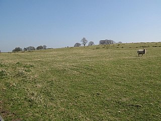
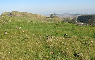
Milecastle 51 (Wall Bowers) was a milecastle on Hadrian's Wall (grid reference NY59306549).

Milecastle 52 (Bankshead) was a milecastle on Hadrian's Wall (grid reference NY57946490).

Milecastle 53 (Banks Burn) was a milecastle on Hadrian's Wall (grid reference NY56486460).
Milecastle 39 (Castle Nick) is a milecastle on Hadrian's Wall (grid reference NY76066773).
Milecastle 38 (Hotbank) was a milecastle on Hadrian's Wall in the vicinity of Hotbank Farm, (grid reference NY77276813). It is notable for the joint inscription bearing the names of the emperor Hadrian and Aulus Platorius Nepos, the governor of Britannia at the time the Wall was built.

Milecastle 42 (Cawfields) is a milecastle on Hadrian's Wall (grid reference NY7157466692).

Milecastle 47 (Chapel House) was a milecastle on Hadrian's Wall (grid reference NY64906607).

Milecastle 30 (Limestone Corner) was a milecastle of the Roman Hadrian's Wall. Its remains exist as an outward-facing scarp with a maximum height of 0.8 metres (2.6 ft). Masonry from the east wall (both faces) remains in situ. The remaining stretch is 3.1 metres (10 ft) in length by 2.25 metres (7.4 ft) thick, and survives to a height of 0.6 metres (2.0 ft). It is located at the western part of Limestone Corner, just off the B6318 Military Road.

Milecastle 34 (Grindon) was a milecastle of the Roman Hadrian's Wall. There are no visible remains, but the site is within a small, tree-filled, walled enclosure located around 0.5 kilometres (0.31 mi) east of Sewingshields farm.
Milecastle 44 (Allolee) was a milecastle on Hadrian's Wall (grid reference NY68886694).

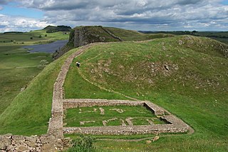
Milecastle 37 is one of the milecastles on Hadrian's Wall. It is immediately west of the Housesteads Roman Fort.

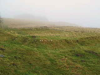
Milecastle 35 (Sewingshields) is one of the milecastles on Hadrian's Wall (grid reference NY80497018). The remains still exist as exposed masonry.

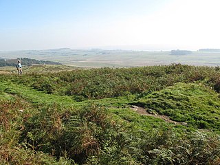
Milecastle 36 (King's Hill) was one of the milecastles on Hadrian's Wall (grid reference NY79726931). There is little to see on the ground as most of the walls have been robbed and quarried away.

Milecastle 41 (Melkridge) was a milecastle on Hadrian's Wall (grid reference NY73026705).
Milecastle 45 (Walltown) was a milecastle on Hadrian's Wall (grid reference NY67716657).

Milecastle 46 (Carvoran) was a milecastle on Hadrian's Wall (grid reference NY66466601).

Milecastle 57 (Cambeckhill) was a milecastle on Hadrian's Wall (grid reference NY50816368).

Milecastle 68 (Boomby Gill) is a conjectured milecastle of the Roman Hadrian's Wall. The site of the milecastle (adjacent to Boomby Gill) has been calculated from measurement to known milecastle sites, but no remains providing proof of its existence have been identified.


