| Chingford | |
|---|---|
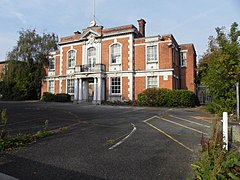 Chingford Town Hall | |
 Chingford within Essex in 1961 | |
| Area | |
| • 1911 | 2,808 acres (11.4 km2) |
| • 1931 | 2,810 acres (11.4 km2) |
| • 1961 | 2,868 acres (11.6 km2) |
| Population | |
| • 1911 | 8,184 |
| • 1931 | 22,053 |
| • 1961 | 45,787 |
| Density | |
| • 1911 | 2.9/acre |
| • 1931 | 7.8/acre |
| • 1961 | 15.9/acre |
| History | |
| • Origin | Chingford parish |
| • Created | 1894 |
| • Abolished | 1965 |
| • Succeeded by | London Borough of Waltham Forest |
| Status | Urban district (until 1938) Municipal borough (after 1938) |
| Government | Chingford Urban District Council Chingford Borough Council |
| • HQ | The Ridgeway |
| • Motto | All Things for the Glory of God |
 Coat of arms of the borough council | |
Chingford was a local government district in south west Essex, England from 1894 to 1965, around the town of Chingford. It was within the London suburbs, forming part of the London postal district and Metropolitan Police District. Its former area now corresponds to the northern part of the London Borough of Waltham Forest in Greater London.
