
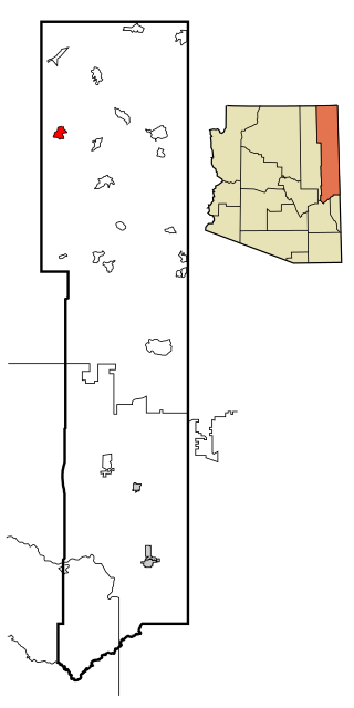
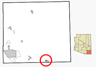
Burnside is a native village and census-designated place (CDP) on the Navajo Nation in Apache County, Arizona, United States. The population was 537 at the 2010 census.

McNary is a census-designated place (CDP) in Apache and Navajo counties in the U.S. state of Arizona, on the Fort Apache Indian Reservation. The population was 528 at the 2010 census.
Rough Rock is a census-designated place (CDP) in Apache County, Arizona, United States. The population was 414 at the 2010 census.

Steamboat is a census-designated place (CDP) in Apache County, Arizona, United States, that includes Steamboat Canyon and Steamboat Trading Post. The population was 284 at the 2010 census.
Pirtleville is a census-designated place (CDP) in Cochise County, Arizona, United States. The population was 1,744 at the 2010 census.

Bitter Springs is a native village and census-designated place (CDP) on the Navajo Nation in Coconino County, Arizona, United States. As of the 2020 census, the CDP population was 364

Kachina Village is a census-designated place (CDP) in Coconino County, Arizona, United States. The population was 2,622 at the 2010 census. Kachina Village is primarily a bedroom community for Flagstaff.

Kaibeto is a census-designated place (CDP) in Coconino County, Arizona, United States. The population was 1,522 at the 2010 census.

LeChee is a census-designated place (CDP) in Coconino County, Arizona, United States. The population was 1,443 at the 2010 census.

Mountainaire is a census-designated place (CDP) in Coconino County, Arizona, United States. The population was 1,119 at the 2010 census.

Munds Park is an unincorporated census-designated place (CDP) in Coconino County, Arizona, United States. The year round population was 631 at the 2010 census.

Parks is a census-designated place (CDP) in Coconino County, Arizona, United States. The population was 1,188 at the 2010 census.

Tonalea is a census-designated place (CDP) in Coconino County, Arizona, United States. The population was 549 at the 2010 census. It has also been known as Red Lake.

Winslow West is a census-designated place (CDP) in Coconino and Navajo counties in Arizona, United States. The population was 438 at the 2010 census. The entire community is off-reservation trust land belonging to the Hopi Tribe of Arizona. It lies just west of the city of Winslow, and is more than 50 km (31 mi) south of the main Hopi Reservation.

Greasewood is a census-designated place (CDP) in Navajo County, Arizona, United States. The population was 547 at the 2010 census.

Pinetop–Lakeside is a town in Navajo County, Arizona, United States. According to 2020 census, the population of the town is 4,557. It was founded in 1984 when the neighboring towns of Pinetop and Lakeside merged.

Pinon is a census-designated place (CDP) in Navajo County, Arizona, United States, and located in the Navajo Nation. The population was 904 at the 2010 census.
Hondah is a census-designated place (CDP) in Navajo County, Arizona, United States, on the Fort Apache Indian Reservation. The population was 812 at the 2010 census.
Lake of the Woods is a census-designated place (CDP) in Navajo County, Arizona, United States, adjacent to the town of Pinetop-Lakeside. The population was 4,094 at the 2010 census.
Pimaco Two is a census-designated place (CDP) located in Pima County, Arizona, United States. The population was 682 at the 2010 census.


